
West Bancroft Street in Toledo, Ohio
West Bancroft Street in Toledo is a secondary road. It runs in an east-west direction and crosses Cheltenham Road, Goddard Road, Drummond Road, Meadowwood Drive, Audubon Place, Densmore Drive, Brookdale Road, Pemberton Drive, Middlesex Drive, Campus Road, North Towerview Boulevard and North Westwood Avenue. It ends in a cul-de-sac. This street is part of the Bicycle route "Route 20" as well as the highway "22". Nearby you can find among others 6 places of worship, 3 restaurants, a car rental and a pub. The nearest stop is University of Toledo Bus stop. The bus lines 3B, 3B/S, 18B, 18C, 20AB, 20B/G, 22, 27C, 28B, 36B, 95 and UTB serve this stop. West Bancroft Street also exists in Ottawa Hills.
- Road Type
- local road
- Speed Limit
- 35 mph
- Route
- east-west
Image
Car rentals
Bars
Bus stops
- bus lines 3B, 3B/S, 18B, 18C, 20AB, 20B/G, 22, 27C, 28B, 36B, 95, UTB
Places of worship
Streets nearby
Fulton StreetToledo Olde Towne Historic District
300 ft
Columbia Street0.1 mi
Floyd Street0.1 mi
Warren Street0.2 mi
Unity Walk0.2 mi
Horton Street0.2 mi
Prescott Street0.2 mi
Tremain Drive0.2 mi
Batavia Street0.2 mi
Irving Street0.2 mi
Putnam Street0.2 mi
Ashland Avenue0.2 mi
Adams StreetGeorgjz419, Wesley's Bar & Grill, Manos Greek Restaurant, Carlos Poco Loco, Adams Laundry & Cleaners, Jennifer Snack, Fowl & Fodder, Grindhrs Coffee & Community
0.3 mi
Winthrop Street0.3 mi
Collingwood BoulevardThe Olive
0.3 mi
23rd Street0.3 mi
Lenox Street0.3 mi
West Woodruff AvenueWestmoreland Historic District
0.3 mi
Franklin AvenueWarren-Sherman
0.4 mi
Avon Street0.4 mi
Virginia Street0.4 mi
Machen Street0.4 mi
Parkwood Avenue0.4 mi
Acklin Avenue0.5 mi
Colonial Court0.5 mi
Scottwood Avenue0.5 mi
Stratford Place0.5 mi
Chatham Court0.5 mi
Tennyson Place0.6 mi
Apartment buildings nearby
Parqwood Apartments0.4 mi
The Rosamunde0.5 mi
Arts centers nearby
Collingwood Arts Center0.5 mi
Buildings nearby
Toledo Healthcare Nursing & Rehabilitation Center0.3 mi
Saint Angela Hall School (historical)0.5 mi
Community centers nearby
Lutheran Social Services of Northwestern Ohio0.3 mi
Houses nearby
Tiedtke House0.6 mi
Parks nearby
Gosser Memorial Park0.3 mi
Galliers Park0.4 mi
Places of worship nearby
Thomas Temple Church450 ft
Corinth Baptist Church0.2 mi
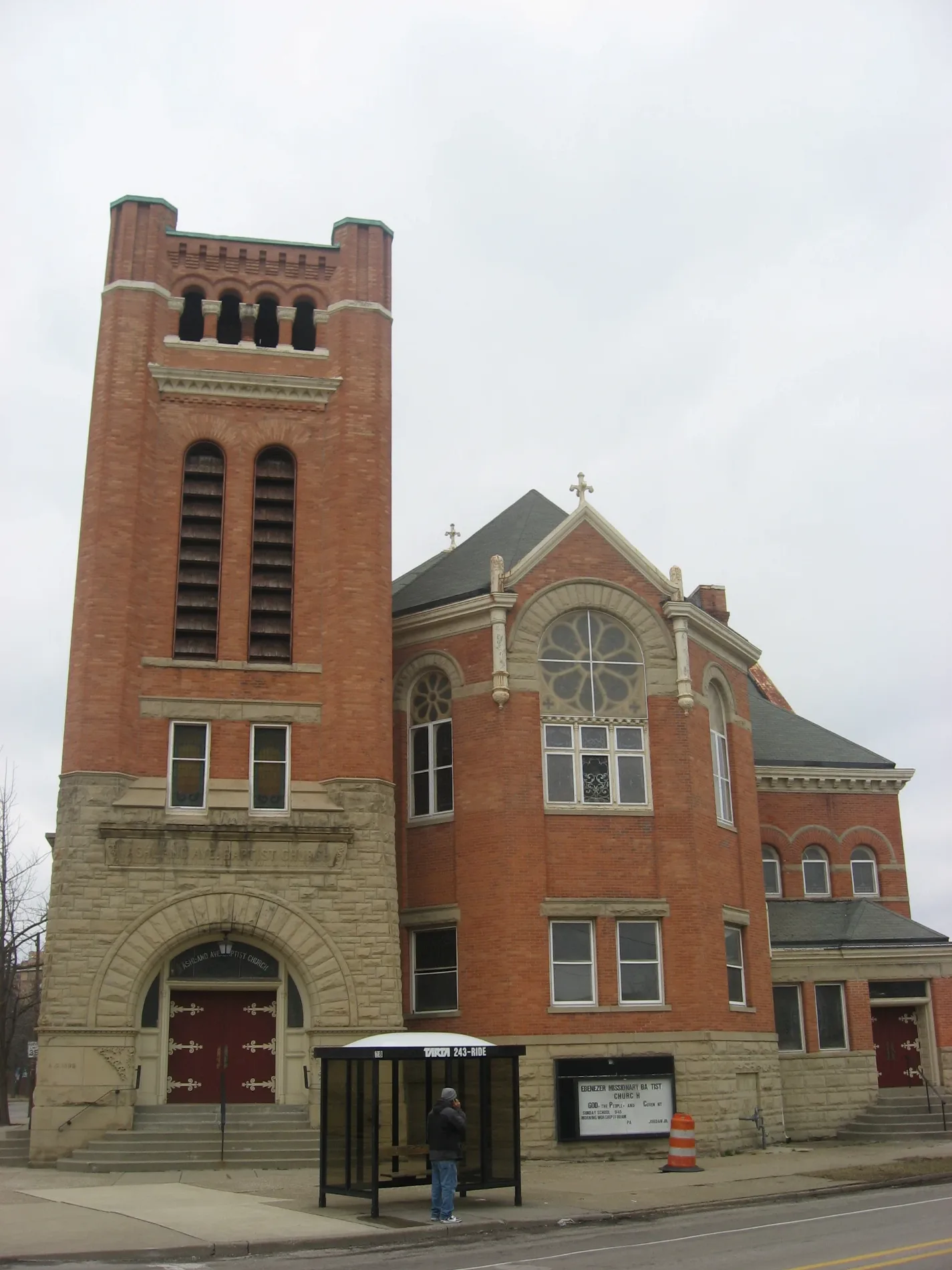
Ashland Avenue Baptist Church0.2 mi
Worship Center0.3 mi
Saint Marks Episcopal Church0.3 mi
Collingwood Presbyterian Church0.3 mi
Parkwood Avenue Seventh-day Adventist Temple0.4 mi
First Congregational Church0.4 mi
Bibleway Church0.4 mi
School buildings nearby
Scott High School0.4 mi
Sports fields nearby
Basketball Court0.4 mi
 Public transit map Toledo Legend
| Railway | |
| Bus | |
| Streetcar |
 Bicycle map Toledo Legend
| Bike path | |
| Bike lane on roadway | |
| Cycling allowed on bus lane | |
| Bicycle street | |
| Open to cyclists | |
| Open to cyclists, good path | |
| Cycling prohibited | |
| Cobblestone |
| Long-distance bike route | (depending on scale) | |
| Long-distance bike route |
 Pedestrian map Toledo Legend
| Path |
| Long-distance hiking trail | (depending on scale) | |
| Long-distance hiking trail | ||
| Pedestrians prohibited |