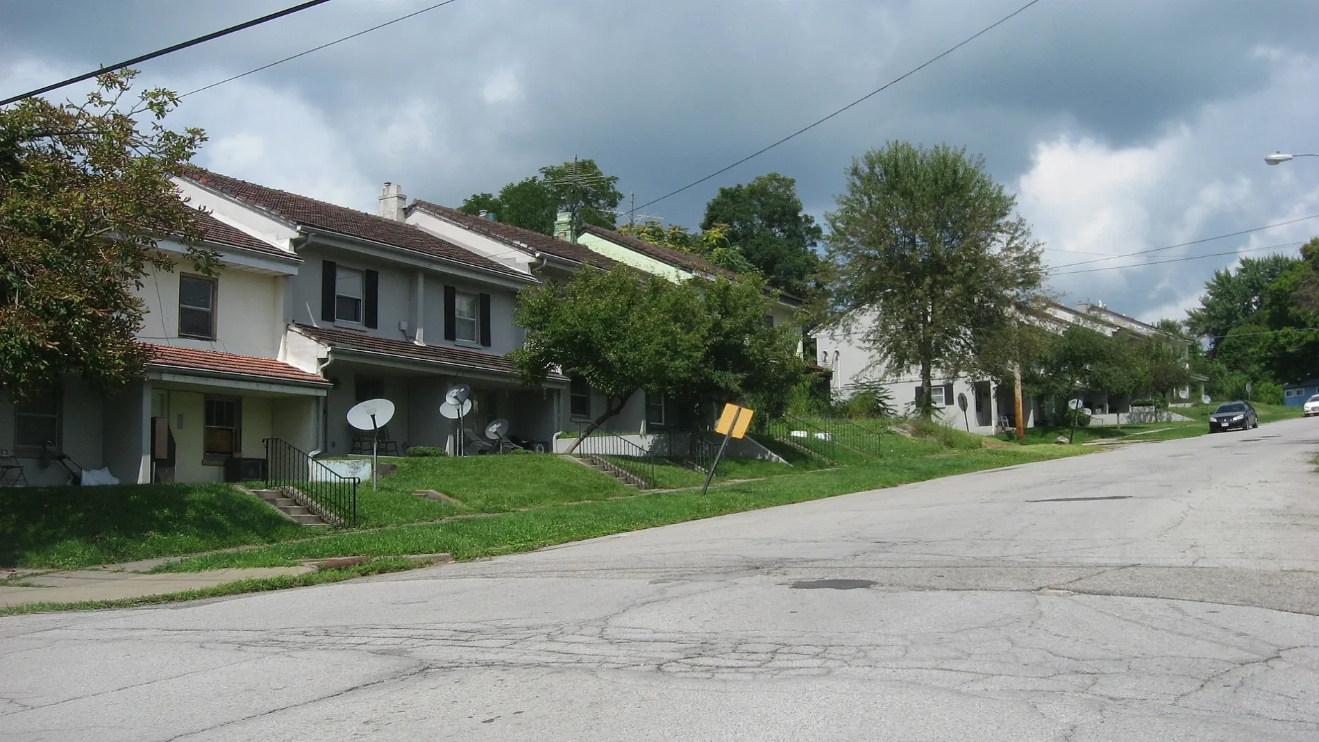
Houses on the northern side of Jackson Street east of the Chambers Street intersection in Campbell, Ohio, United States. Built by Youngstown Sheet and Tube as residences for its employees, this neighborhood is part of the Youngstown Sheet and Tube Company Housing, a historic district that is listed on the National Register of Historic Places. – Nyttend, Public domain – Wikimedia Commons Campbell is located in Mahoning County. About 7,852 people live here (as of 2020). Between 2010 and 2020, the population declined from 8,235 to 7,852. The region is at 314 meters above sea level. The area covers about 9.7 square kilometers. There are about 216 streets in Campbell. The postal codes are 44405. Campbell is city in Ohio, USA. Among other things, Campbell has public Transport and schools. More information at www.campbellohio.gov.


 Public transit map Campbell Legend
  Bicycle map Campbell Legend
  Pedestrian map Campbell Legend