
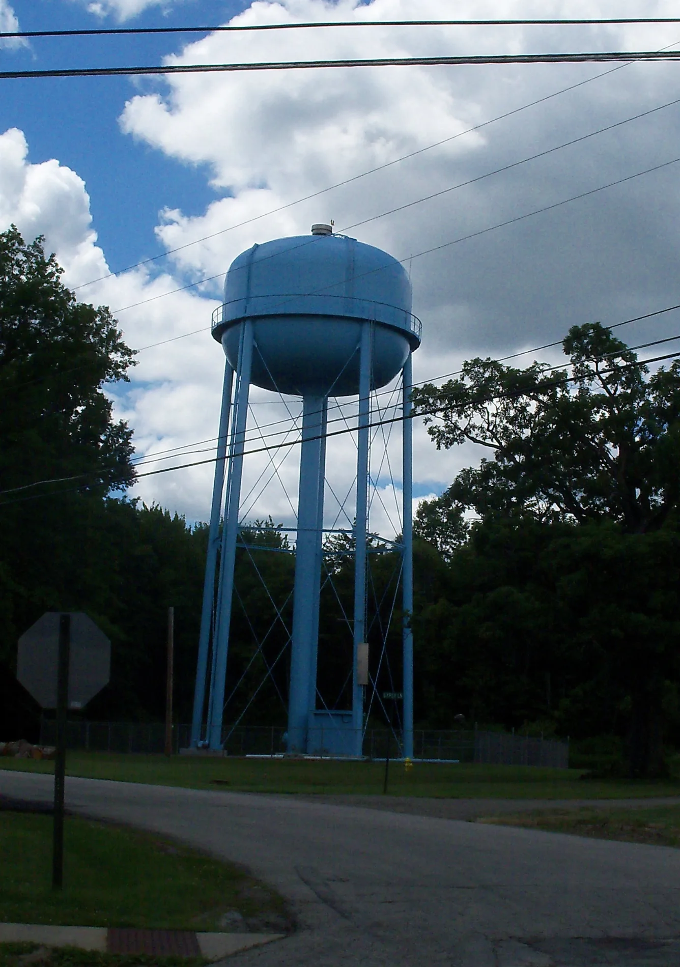
Wallace Drive in Craig Beach, Ohio
Wallace Drive in Craig Beach is a residential street. It runs in an east-west direction and crosses Woodland Avenue and ends at Triumph Avenue, while the other end is a cul-de-sac.
- Road Type
- residential street
- Route
- east-west
Image
Police stations
Streets nearby
Redwood Road200 ft
Lundys Lane200 ft
Davis Road400 ft
Woodland Avenue0.1 mi
Triumph Avenue0.1 mi
Warchester Avenue0.1 mi
Manchester Street0.2 mi
Hercules Drive0.3 mi
Olive Avenue0.3 mi
Gypsy Lane0.3 mi
Beach Lane0.3 mi
Denver Drive0.3 mi
Hillcrest Drive0.3 mi
View Point Lane0.3 mi
Jersey Street0.3 mi
Delaware Drive0.3 mi
Laurel Avenue0.3 mi
Kenmore Road0.4 mi
Grandview RoadCraig Beach, Craig Beach Police Department
0.4 mi
Normandy Road0.4 mi
Avalon Road0.4 mi
Glendale Avenue0.4 mi
Lynfield Road0.4 mi
Craig Drive0.4 mi
Tolland Street0.4 mi
Red Dog Lane0.4 mi
Warren Avenue0.4 mi
Friedham Street0.4 mi
Clearmont Road0.5 mi
Marietta Avenue0.5 mi
Hillcrest Avenue0.5 mi
Edgewater Drive0.5 mi
Afton Avenue0.5 mi
Idylwild Avenue0.5 mi
Belmont Avenue0.6 mi
Lakewood Avenue0.6 mi
Portage Road0.6 mi
Mahoning Road0.7 mi
Maplewood Avenue0.7 mi
Wick Avenue0.7 mi
Glenwood Avenue0.7 mi
Evelyn Avenue0.7 mi
Milton Newton Road0.7 mi
Whippoorwill Road0.8 mi
Event venues nearby
Saint Catherine Family Center0.6 mi
Marinas nearby
Lake Milton Boat Club0.5 mi
Parks nearby
Robinson's Point Boat Launch0.6 mi
Places of worship nearby
Saint Catherine Church0.5 mi
Variety stores nearby
Dollar General0.4 mi
Public transit map Craig Beach Legend
| Railway | |
| Bus | |
| Streetcar |
Bicycle map Craig Beach Legend
| Bike path | |
| Bike lane on roadway | |
| Cycling allowed on bus lane | |
| Bicycle street | |
| Open to cyclists | |
| Open to cyclists, good path | |
| Cycling prohibited | |
| Cobblestone |
| Long-distance bike route | (depending on scale) | |
| Long-distance bike route |
Pedestrian map Craig Beach Legend
| Path |
| Long-distance hiking trail | (depending on scale) | |
| Long-distance hiking trail | ||
| Pedestrians prohibited |