
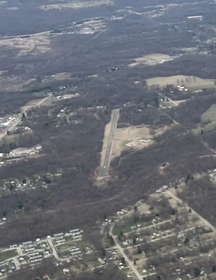
Lansdowne Airport in Youngstown, Ohio
Lansdowne Airport in Youngstown is an airfield. Ⓦ.
- Operator
- Lansdowne Land Associates
Image
Places of worship
Bus stops
Streets nearby
Liberty Road Southeast0.3 mi
Merrill Road0.3 mi
Homestead Road0.3 mi
Borden Street0.4 mi
Avon Street0.4 mi
Applegate Road0.5 mi
Holland Avenue0.5 mi
Hubbard Road0.5 mi
Knob Court0.6 mi
Republic Avenue0.6 mi
Thorn Hill Road0.6 mi
Atkinson AvenueAtkinson Avenue & Lansdowne Boulevard, Thorn Hill, Atkinson & Republic
0.6 mi
Loretta Court0.6 mi
Payton Road0.6 mi
Rosewood Lane0.7 mi
Oak Lane0.7 mi
Dogwood Lane0.7 mi
Cedar Lane0.7 mi
Hickory Court0.7 mi
Gray Avenue0.7 mi
Willow Court0.8 mi
Bettman Street0.8 mi
Theodore Avenue0.8 mi
Maplewood Lane0.8 mi
Lansdowne BoulevardBerean Fellowship Church, Lansdowne & Kimmel, Good Shepherd Ministry, Spanish Seventh Day Adventist Church, Lansdowne & Adelaide
0.8 mi
Buckeye Court0.8 mi
North Garland AvenueN. Garland & E. High, Johanzel Pizza, N. Garland & McGuffey
0.8 mi
Ravine Road0.8 mi
Liberty RoadLincoln Christian Church, Liberty & Frost, Liberty & Bott
0.8 mi
Wright Drive0.9 mi
Forestview DriveForestview & Republic
0.9 mi
Park Vista DriveRavine & Park Vista
0.9 mi
Bentley Avenue0.9 mi
Victor AvenueKimmel Brook Baptist Church, Albert & Victor, Victor & Wright, Phillips Memorial Baptist Church, Victor & Cedar
0.9 mi
Bott Avenue0.9 mi
Bennington AvenueBennington & Arch, Bennington Avenue & East High Street
0.9 mi
Lawnview Avenue Southeast0.9 mi
Bott Street0.9 mi
Commonwealth Avenue1.0 mi
Shops nearby
Iures Machine Shop0.5 mi
Auto repair shops nearby
Walsh's 24/7 Tractor-Trailer Repair0.4 mi
Buildings nearby
GIGLIO0.3 mi
Cooksey's Culligan Water Conditioning0.4 mi
Assurance Heating & Cooling0.9 mi
Cemeteries nearby
Mahoning Valley Memorial Park0.4 mi
Museums nearby
Youngstown Steel Heritage0.4 mi
Parks nearby
Boehme Park0.9 mi
Residential areas nearby
Kimmelbrooks0.8 mi
Sports fields nearby
For Inmates0.8 mi
| Elevation | 1044 |
|---|---|
| Located in | Ohio |
| Country | United States |
 Public transit map Youngstown Legend
| Railway | |
| Bus | |
| Streetcar |
 Bicycle map Youngstown Legend
| Bike path | |
| Bike lane on roadway | |
| Cycling allowed on bus lane | |
| Bicycle street | |
| Open to cyclists | |
| Open to cyclists, good path | |
| Cycling prohibited | |
| Cobblestone |
| Long-distance bike route | (depending on scale) | |
| Long-distance bike route |
 Pedestrian map Youngstown Legend
| Path |
| Long-distance hiking trail | (depending on scale) | |
| Long-distance hiking trail | ||
| Pedestrians prohibited |