
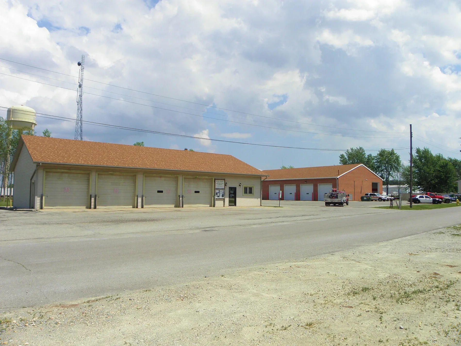
4th Street in Bethel Township
4th Street in Miami County is a residential street and runs in a north-south direction starting from Church Court and crosses West National Road and ends at Walnut Street. 4th Street also exists in Piqua.
- Road Type
- residential street
- Route
- north-south
Image
Places of worship
Streets nearby
5th Street550 ft
Church Court0.1 mi
Walnut Street0.1 mi
3rd Street0.1 mi
2nd Street0.2 mi
1st StreetBrandt Evangelical Lutheran Church
0.3 mi
West National RoadBrandt, Phoneton, Brandt United Methodist Church
0.3 mi
Cobaugh Road0.3 mi
8755 OH-2010.4 mi
Wonder Way0.4 mi
South Mann Road0.5 mi
Solar Drive0.5 mi
Heffner Road0.6 mi
Haskett Lane West1.0 mi
Concord Way1.0 mi
Burgoyne Court1.0 mi
Ross Road1.0 mi
Woodmint Drive1.0 mi
Gage Way1.0 mi
Mason Lane1.0 mi
Singer Road1.1 mi
Haskett Lane East1.1 mi
River Birch Street1.1 mi
Jefferson Drive1.1 mi
Blackhaw Way1.1 mi
Carriage Trails Parkway1.1 mi
Willow Oak Drive1.1 mi
Violet Lane1.1 mi
Yarrow Lane1.2 mi
Sunset Maple Drive1.2 mi
Flick Road1.2 mi
Redtwig Lane1.2 mi
Blackberry Lane1.2 mi
Spicebush Drive1.2 mi
Forestedge Street1.2 mi
Red Buckeye Drive1.3 mi
Blue Ash Way1.3 mi
Cherry Birch Drive1.3 mi
Dry Run Street1.3 mi
South Palmer RoadPalmer Chapel Cemetery
1.3 mi
Gable Way1.4 mi
Cedar Lake Drive1.4 mi
Green Bridle Trail1.4 mi
Residential areas nearby
The Lakes of Carriage Trails1.0 mi
Carriage Trails1.0 mi
The Woods of Carriage Trails1.3 mi
The Greens of Carriage Trails1.3 mi
School buildings nearby
Bethel Schools1.4 mi
Social facilities nearby
Danbury Nursing Homes1.2 mi
Public transit map Bethel Township Legend
| Railway | |
| Bus | |
| Streetcar |
Bicycle map Bethel Township Legend
| Bike path | |
| Bike lane on roadway | |
| Cycling allowed on bus lane | |
| Bicycle street | |
| Open to cyclists | |
| Open to cyclists, good path | |
| Cycling prohibited | |
| Cobblestone |
| Long-distance bike route | (depending on scale) | |
| Long-distance bike route |
Pedestrian map Bethel Township Legend
| Path |
| Long-distance hiking trail | (depending on scale) | |
| Long-distance hiking trail | ||
| Pedestrians prohibited |