
Isaac Prugh Way in Kettering, Ohio
Isaac Prugh Way in Kettering is a residential street. It runs in an east-west direction starting from Shroyer Road and crosses Cottingwood Court, Renolda Woods Court, Ashton Circle and Lincoln Park Boulevard and ends at Treasury Drive.
- Road Type
- residential street
- Route
- east-west
Image
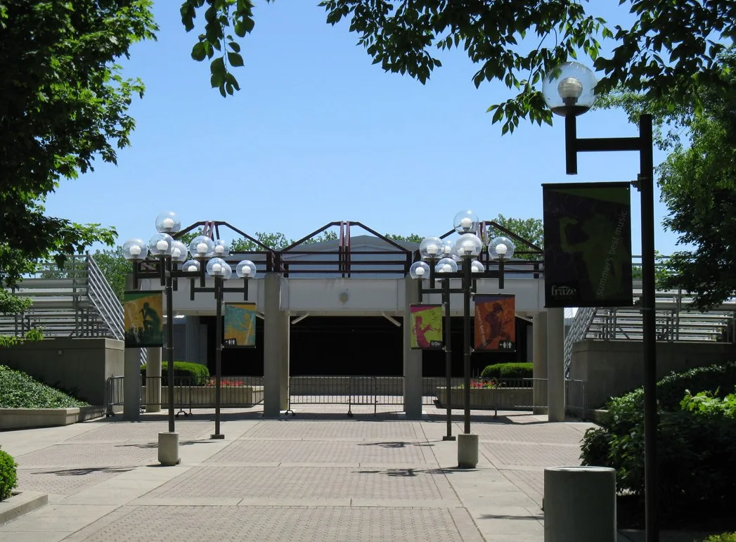
Supermarkets
Dentist offices
Pastry shops
Hair salons
Art galleries
Shoe stores
Places of worship
Beverage stores
Pet stores
Jewelry stores
Ticket offices
Bookstores
Bus stops
Gas stations
Convenience stores
Liquor stores
Interior decorators
Gift shops
Restaurants
Streets nearby
Renolda Woods Court350 ft
Ashton Circle500 ft
Timberlake Court0.1 mi
Cottingwood Court0.2 mi
Claar Avenue0.2 mi
Commons Way0.2 mi
Lincoln Woods Court0.2 mi
Cushing Avenue0.2 mi
Residenz Parkway0.2 mi
Treasury Drive0.3 mi
Sumner Avenue0.3 mi
Shroyer RoadShroyer @ Dorthy, Pet Supplies Plus, Christ United Methodist Church, Shroyer @ Lewiston, Fraze Fanfare, Cheryl's Cookies, ACT Jewelers
0.3 mi
Wittelsbach Drive0.3 mi
Brubaker Drive0.3 mi
Shelton Drive0.3 mi
Brookfield Road0.3 mi
Carrier Avenue0.3 mi
Garrison Avenue0.3 mi
Ingersoll Drive0.3 mi
Firebird Lane0.3 mi
Highgrove Place0.3 mi
Sharewood Court0.4 mi
Storms Circle0.4 mi
East Dorothy LaneThe Dayton Beer Co., Speedway, Shell, Biggby Coffee, Midas
0.4 mi
Storms Road0.4 mi
Waltham Avenue0.4 mi
Aerial Avenue0.4 mi
Kyle Avenue0.4 mi
Rockhill Avenue0.4 mi
Lincoln Park Boulevard0.4 mi
North Bromfield Road0.4 mi
San Rae Drive0.4 mi
Ackerman Boulevard0.5 mi
East Drive0.5 mi
Hazelwood Avenue0.5 mi
Royalston Avenue0.5 mi
Wehrly Avenue0.6 mi
Broad Boulevard0.6 mi
California Avenue0.6 mi
Colonial Avenue0.6 mi
Delmonte Avenue0.7 mi
Orchard Drive0.7 mi
Convenience stores nearby
Speedway0.4 mi
Florists nearby
Flowerama0.4 mi
Furniture stores nearby
Cedar Hill Furniture0.5 mi
Parks nearby
Wenzler Park0.4 mi
Public buildings nearby
Kettering County Government0.3 mi
Residential areas nearby
Residenz0.2 mi
School buildings nearby
Trent Arena0.4 mi
 Public transit map Kettering Legend
| Railway | |
| Bus | |
| Streetcar |
 Bicycle map Kettering Legend
| Bike path | |
| Bike lane on roadway | |
| Cycling allowed on bus lane | |
| Bicycle street | |
| Open to cyclists | |
| Open to cyclists, good path | |
| Cycling prohibited | |
| Cobblestone |
| Long-distance bike route | (depending on scale) | |
| Long-distance bike route |
 Pedestrian map Kettering Legend
| Path |
| Long-distance hiking trail | (depending on scale) | |
| Long-distance hiking trail | ||
| Pedestrians prohibited |