
East Drive in Centerville, Ohio
East Drive in Centerville is a residential street. It runs in a north-south direction starting from East Franklin Street and crosses Weller Avenue, Laura Avenue, Martha Avenue and Broadripple Road and ends at Benzell Drive.
- Road Type
- residential street
- Speed Limit
- 25 mph
- Route
- north-south
Image
Places of worship
Schools
Massage therapy clinics
Gas stations
Florists
Tattoo studios
Bars
Clothing stores
Hair salons
Pet grooming salons
Town halls
Convenience stores
Laundries
Cafes
Auto parts stores
Restaurants
Arts centers
Tobacco shops
Libraries
Beauty salons
Fast food restaurants
Streets nearby
East Franklin StreetCenterville United Methodist Church, Centerville Historic District
400 ft
Weller Avenue500 ft
Lucas Drive0.1 mi
Martha Avenue0.1 mi
Laura Avenue0.1 mi
East Ridgeway Drive0.1 mi
South Main StreetArtsy Mind, Jan's Grooming
0.2 mi
Far Hills AvenueSpeedway, Coffee Hub, Dove and Ivy Boutique, Centerville Cleaners Coin Laundry, H & I Salon, Centerville Florists, All Sports Barbers, KOI Auto Parts, Centerville Bible College, Washington Township Hall, Pet People, Siebenthaler's Garden Center
0.2 mi
Cemetery Drive0.2 mi
Broadripple Road0.2 mi
Tuxworth Road0.2 mi
Maple Avenue0.3 mi
Woodfield Place0.3 mi
Iron Gate Park Drive0.3 mi
North Johanna Drive0.3 mi
Lakeview Drive0.4 mi
Auto parts stores nearby
Genuine Auto Parts0.3 mi
Auto repair shops nearby
Murphy's Autocare0.3 mi
Beauty salons nearby
Elevate Esthetics0.1 mi
Buildings nearby
TJ's Place of Hope400 ft
Ameriprise Financial500 ft
Mark Ryan Group0.1 mi
Centerville Family Eyecare0.1 mi
Kathy Platoni Psy.D.0.2 mi
Reclaim Ceramics0.2 mi
Nutt Cottage Research Center0.2 mi
Cemeteries nearby
Centerville Cemetery0.3 mi
Churches nearby
Centerville United Methodist Church450 ft
Clothing stores nearby
Burgundy Chic Botique0.1 mi
Dentist's offices nearby
David Ellinger DDS Dentist550 ft
Dayton Dental Solutions0.1 mi
Michael A. Krumnauer DDS0.1 mi
Doctor Al Dental0.2 mi
Burke Orthodontics0.2 mi
Dry cleaners nearby
Metropolitan Dry Cleaning0.2 mi
Hair salons nearby
Lefty's Barbershop450 ft
Square One Salon and Spa0.2 mi
Swoon Salon and Spa0.2 mi
Ice cream shops nearby
Graeter's0.2 mi
Jewelry stores nearby
Benchworks Fine Jewlers0.1 mi
Museums nearby
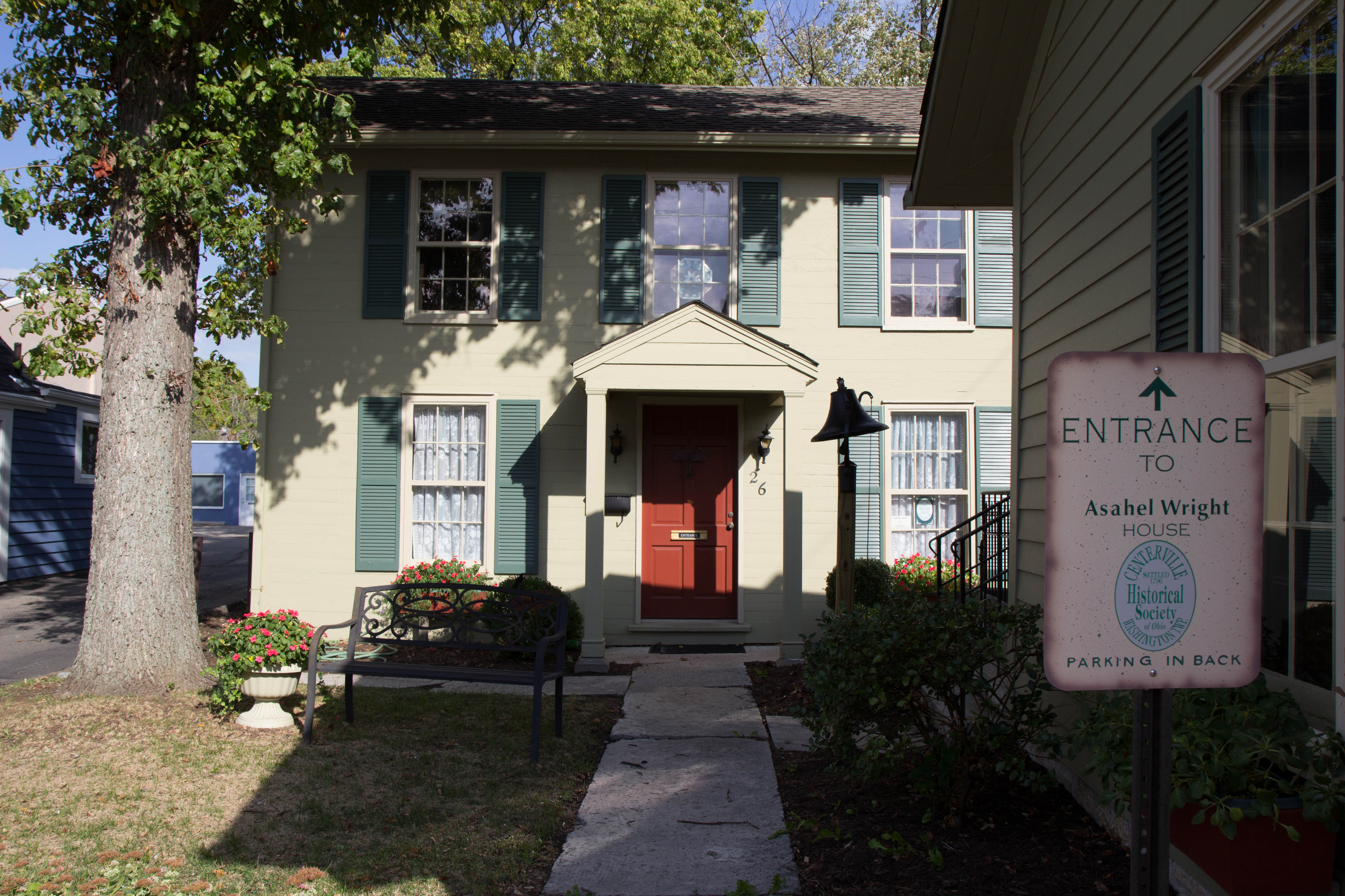
Asahel Wright Museum0.2 mi
Music stores nearby
McCutcheon Music0.1 mi
Places of worship nearby
Cross Point Vineyard Church0.2 mi
Pubs nearby
MacDiggers Pub0.1 mi
Restaurants nearby
City Barbeque0.2 mi
Agave and Rye0.2 mi
School buildings nearby
Stingley Elementary School0.3 mi
Tower Heights Middle School0.4 mi
Veterinary clinics nearby
Veterinary Alternatives0.2 mi
Public transit map Centerville Legend
| Railway | |
| Bus | |
| Streetcar |
Bicycle map Centerville Legend
| Bike path | |
| Bike lane on roadway | |
| Cycling allowed on bus lane | |
| Bicycle street | |
| Open to cyclists | |
| Open to cyclists, good path | |
| Cycling prohibited | |
| Cobblestone |
| Long-distance bike route | (depending on scale) | |
| Long-distance bike route |
Pedestrian map Centerville Legend
| Path |
| Long-distance hiking trail | (depending on scale) | |
| Long-distance hiking trail | ||
| Pedestrians prohibited |