
Lyons Drive in Centerville, Ohio
Lyons Drive in Centerville is a residential street. It runs in a north-south direction and crosses Terrace Villa Drive, Wythe Parish Street, Park Villa Court, Sheldon Drive and Davis Road and ends at West Ridgeway Drive, while the other end is a cul-de-sac.
- Road Type
- residential street
- Route
- north-south
Image
Gas stations
Town halls
Tobacco shops
Beauty salons
Pet grooming salons
Cafes
Pubs
Hair salons
Clothing stores
Florists
Laundries
Places of worship
Arts centers
Clinics
Restaurants
Convenience stores
Auto parts stores
Schools
Tattoo studios
Massage therapy clinics
Libraries
Ice cream shops
Streets nearby
Park Villa Court400 ft
Davis Road500 ft
Wythe Parish Street0.1 mi
West Ridgeway Drive0.1 mi
Iron Gate Park Drive0.1 mi
Terrace Villa Drive0.2 mi
Maple Avenue0.2 mi
Sheldon Drive0.2 mi
Bunker Court0.4 mi
Amenities nearby
Explorations Child Enrichment Center0.3 mi
Auto parts stores nearby
Genuine Auto Parts0.1 mi
Auto repair shops nearby
Centerville Service Center0.1 mi
Murphy's Autocare0.1 mi
Bars nearby
Felicity Wine Bar0.2 mi
Buildings nearby
Smart Exteriors0.1 mi
Library of Design0.1 mi
Nutt Cottage Research Center0.1 mi
Reclaim Ceramics0.2 mi
Wilson Advertising0.2 mi
Carr Insurance Agency0.3 mi
The Modern Monument0.3 mi
Parish Center0.4 mi
Cafes nearby
Boston Stoker Coffee Co.0.2 mi
Candy stores nearby
Esther Price0.3 mi
Clothing stores nearby
Loralei's Boutique0.2 mi
Dentist's offices nearby
Burke Orthodontics0.1 mi
Doctor Al Dental0.2 mi
Dry cleaners nearby
Metropolitan Dry Cleaning0.1 mi
Electronics stores nearby
Beacon Audio Video Systems0.1 mi
Fast food restaurants nearby
Bill's Donut Shop0.3 mi
Funeral homes nearby
Routsong Funeral Home and Cremation Services500 ft
Hair salons nearby
Swoon Salon and Spa0.1 mi
Ice cream shops nearby
Whit's Frozen Custard0.1 mi
Graeter's0.2 mi
Museums nearby
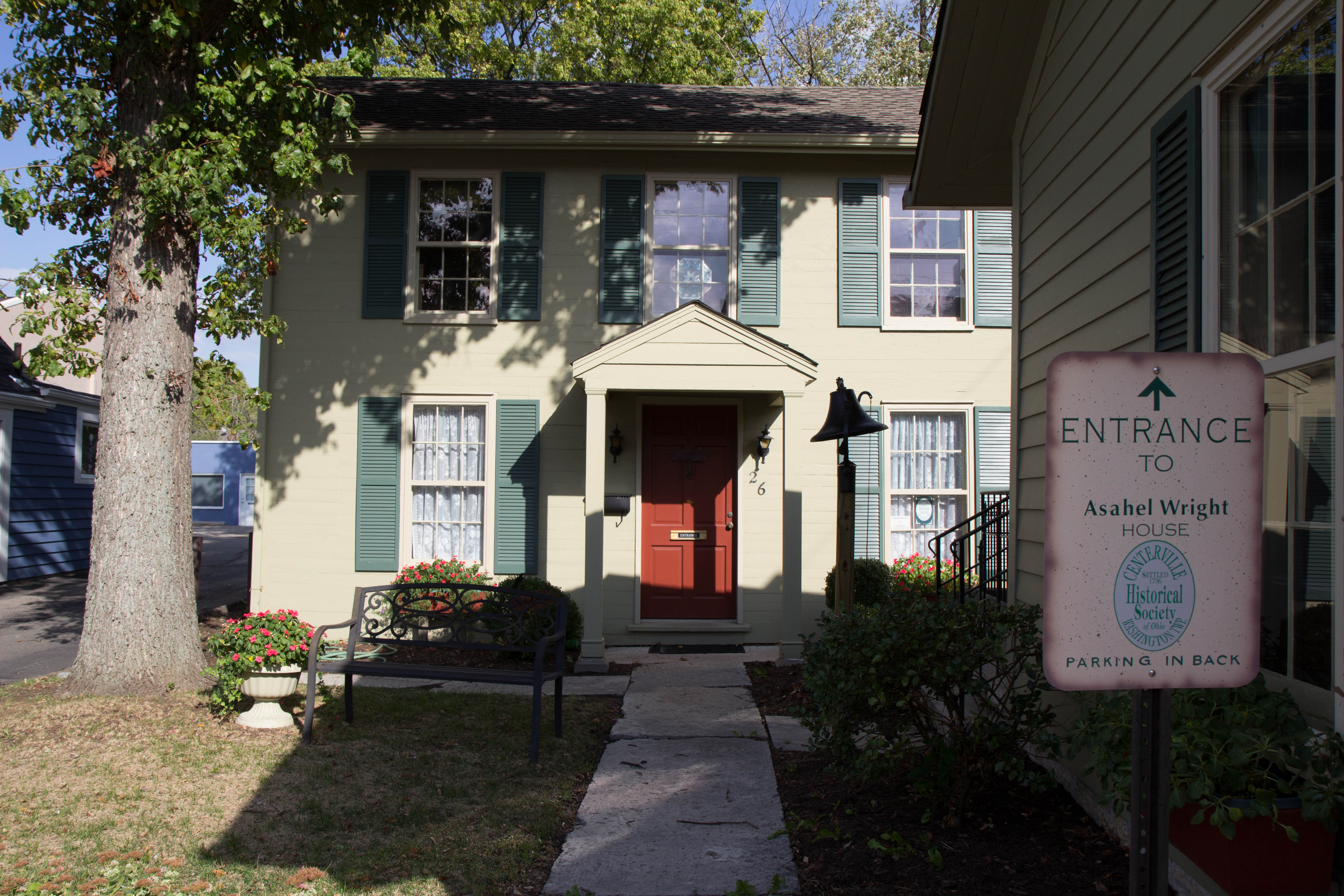
Asahel Wright Museum0.2 mi
Parks nearby
Elizabeth Hoy Park0.2 mi
Benham's Grove0.2 mi
Activity Center Park - Centerville-Washington Sprayground0.3 mi
Places of worship nearby
Cross Point Vineyard Church0.2 mi
Church of the Incarnation0.4 mi
Restaurants nearby
Agave and Rye0.2 mi
Chiapas Mexican Grill0.4 mi
Schools nearby
Incarnation School0.3 mi
Sewing supply stores nearby
Sew-A-Lot0.2 mi
Tattoo studios nearby
Wise Guys Tattoo Society0.2 mi
Theaters nearby
Town Hall Theatre0.2 mi
Veterinary clinics nearby
Veterinary Alternatives0.2 mi
Water parks nearby
Centerville-Washington Sprayground0.2 mi
Window blind stores nearby
Blinds Plus and More0.3 mi
Public transit map Centerville Legend
| Railway | |
| Bus | |
| Streetcar |
Bicycle map Centerville Legend
| Bike path | |
| Bike lane on roadway | |
| Cycling allowed on bus lane | |
| Bicycle street | |
| Open to cyclists | |
| Open to cyclists, good path | |
| Cycling prohibited | |
| Cobblestone |
| Long-distance bike route | (depending on scale) | |
| Long-distance bike route |
Pedestrian map Centerville Legend
| Path |
| Long-distance hiking trail | (depending on scale) | |
| Long-distance hiking trail | ||
| Pedestrians prohibited |