
Virginia Avenue in Centerville, Ohio
Virginia Avenue in Centerville is a residential street. It runs in a north-south direction starting from West Franklin Street and crosses White Birch Road, Jeanette Avenue, Westerly Drive, Carmel Court, Freyn Drive, Coachman Drive, Dale Ridge Drive and Bristol Drive. It ends in a cul-de-sac. Nearby there is a library.
- Road Type
- residential street
- Route
- north-south
Image
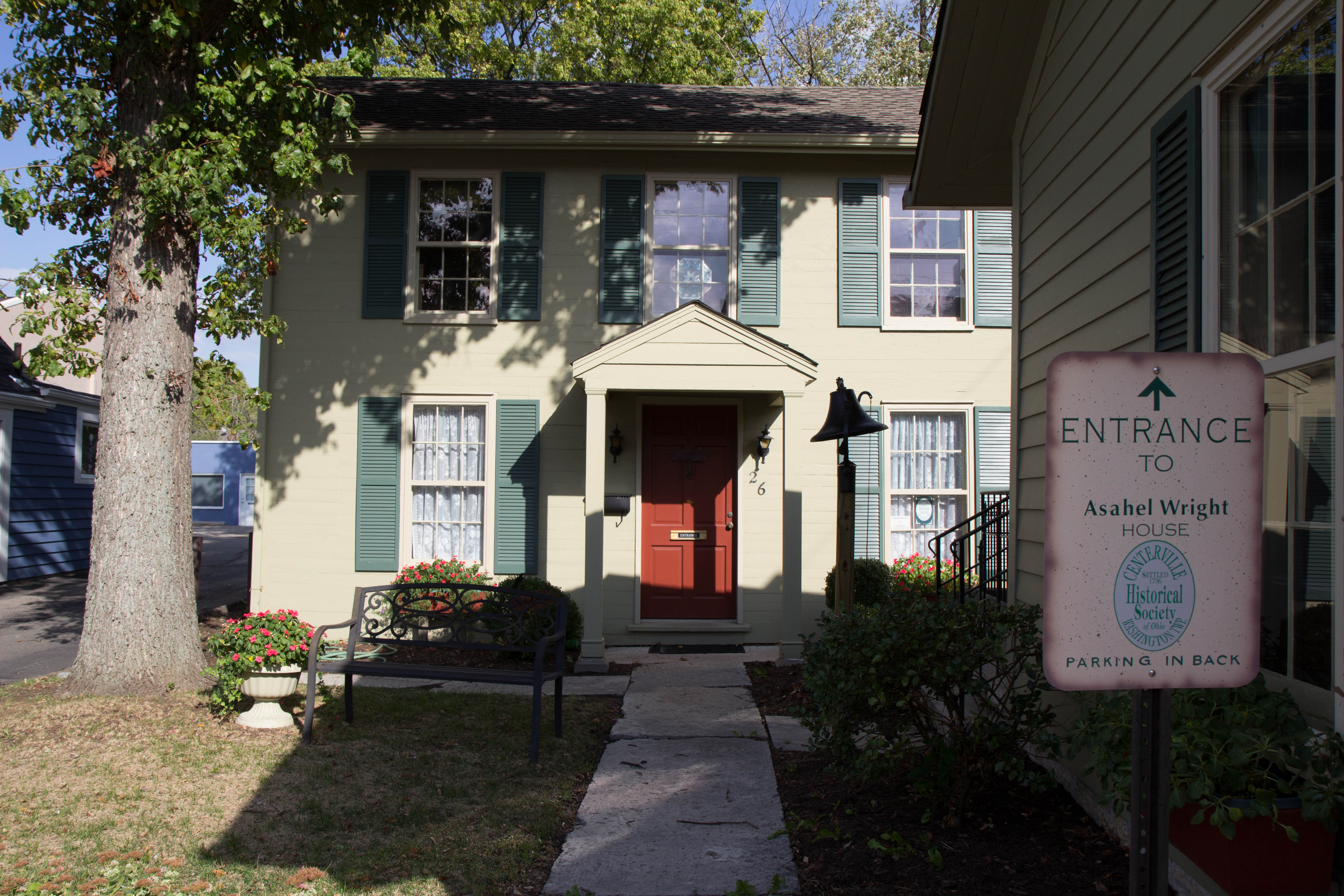
Libraries
Streets nearby
Jeanette Avenue500 ft
Westerly Drive550 ft
White Birch Road0.1 mi
Carmel Court0.1 mi
Tipton Court0.2 mi
Peach Grove Avenue0.2 mi
Weidner Lane0.2 mi
Edenhurst Drive0.2 mi
Westerfield Drive0.2 mi
Lynn Rae Circle0.2 mi
Anton Court0.2 mi
Gerber Court0.2 mi
Prague Court0.2 mi
Freyn Drive0.2 mi
Annette Drive0.2 mi
Coachman Drive0.2 mi
Gershwin Drive0.3 mi
West Franklin StreetCenterville, Beckel's Humidor, Bahar & Reza
0.3 mi
Hampton Road0.3 mi
Dale Ridge Drive0.3 mi
Tauber Drive0.3 mi
Miller Farm LaneSpeedway, CVS Pharmacy
0.4 mi
Julian Place0.4 mi
Miamisburg Centerville RoadSpeedway, Sheetz, Vapor Haus, Doubleday's Home Plate, Tropical Smoothie Cafe, Bombay Bazar, Indian Chaat Cafe, Elegant Nails Salon, Cashland, McAlister's Deli, Moe's Southwest Grill, Old Scratch Pizza & Beer, Power Plant Juice Bar + Super Foods, Chipotle, Piada Italian Street Food, PNC Bank
0.4 mi
Branch Creek Circle0.4 mi
Tillotson Place0.4 mi
Monarch Road0.4 mi
Isabella Circle0.4 mi
Pond Meadows Court0.4 mi
Normandy Creek Drive0.4 mi
Sentinel Oak Drive0.5 mi
Yellowcreek Drive0.5 mi
Shops nearby
McSwain Carpets and Floors0.3 mi
Buildings nearby
Beckel Insurance0.2 mi
Bechtel Realtors0.3 mi
Cosmetics stores nearby
Frownies0.4 mi
Dentist's offices nearby
Gallatin Endodontics0.3 mi
Drugstores nearby
CVS Pharmacy0.4 mi
Hair salons nearby
Centerville Barbers0.2 mi
252 West Salon and Medspa0.3 mi
Mia Bella Salon and Spa0.3 mi
Interior decorators nearby
Midnight Bloom0.2 mi
Music schools nearby
Music Academy of Centerville0.2 mi
Places of worship nearby
Dayton Korean Seventh-day Adventist Church0.2 mi
Restaurants nearby
Mudlick Tap House0.2 mi
Retail buildings nearby
Pura Vida Collective0.2 mi
Schools nearby
W. O. Cline Elementary School0.1 mi
Magsig Middle School0.2 mi
Veterinary clinics nearby
The Scratching Post Cat Hospital and Retreat0.2 mi
Public transit map Centerville Legend
| Railway | |
| Bus | |
| Streetcar |
Bicycle map Centerville Legend
| Bike path | |
| Bike lane on roadway | |
| Cycling allowed on bus lane | |
| Bicycle street | |
| Open to cyclists | |
| Open to cyclists, good path | |
| Cycling prohibited | |
| Cobblestone |
| Long-distance bike route | (depending on scale) | |
| Long-distance bike route |
Pedestrian map Centerville Legend
| Path |
| Long-distance hiking trail | (depending on scale) | |
| Long-distance hiking trail | ||
| Pedestrians prohibited |