
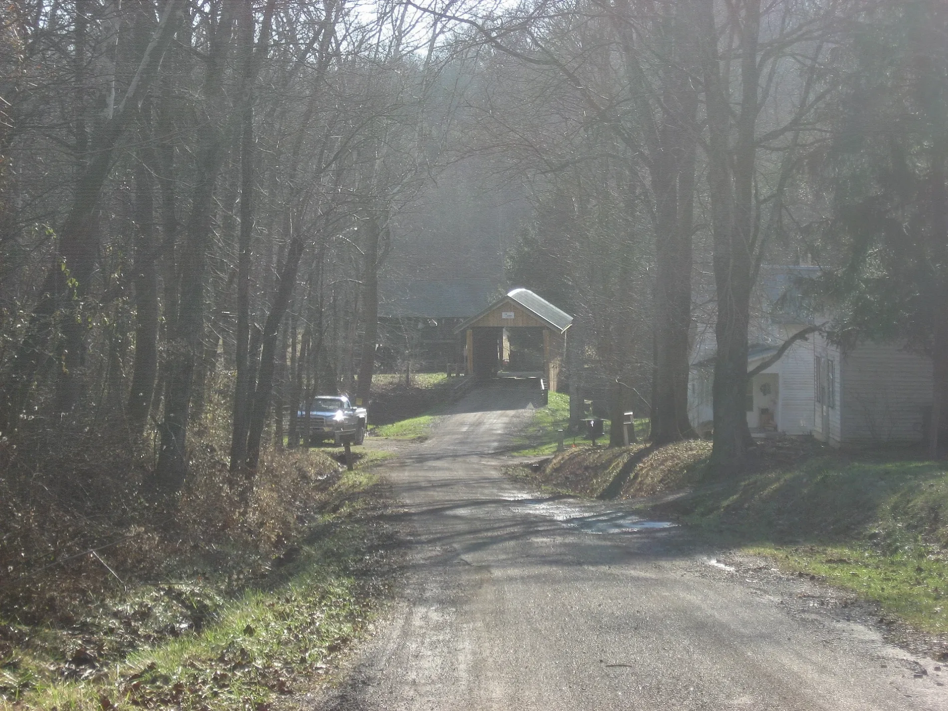
Adams Covered Bridge in Union Township
Adams Covered Bridge in Morgan County is a bridge (Heritage monument). Adams Covered Bridge is also known as San Toy Bridge. Adams Covered Bridge is located near Morganville Road. Ⓦ.
- Building Type
- covered area
Streets nearby
Morganville Road0.3 mi
Township Road 7220.3 mi
Township Highway 4550.6 mi
Township Road 2970.7 mi
Town Hwy 4520.7 mi
Township Road 6081.1 mi
Cedar Run Road1.2 mi
Chapel Hill Road Southeast1.5 mi
Bell Road1.6 mi
Town Hwy 3181.7 mi
Santoy Road1.9 mi
Newlon Road1.9 mi
Beaver Lane2.0 mi
Township Road 300 Southeast2.0 mi
Morganville-Oakfield Road2.0 mi
Pascal Road2.0 mi
Pascal Road North2.2 mi
Wildcat Hollow Trail2.2 mi
Wildcat Hollow Connector2.3 mi
Chappelear Road Southwest2.3 mi
Glass Road2.4 mi
Town Hwy 3082.4 mi
San Toy Creek Trail2.6 mi
Pierce Road2.6 mi
Waterworks Road Southeast2.6 mi
Stoney Point Road2.7 mi
North Kincaid Road2.9 mi
Drake Union Road2.9 mi
Township Highway 180A Southeast3.0 mi
Woodward Lane3.0 mi
Irish Ridge Road Southeast3.1 mi
Hambel Road3.1 mi
Town Hwy 2953.1 mi
East Branch Road Southwest3.2 mi
Stoney Pt Road3.2 mi
St Jude Road3.2 mi
Sunday Creek Road3.3 mi
Abandoned railways nearby
Zanesville, Marietta & Parkersburg Railroad1.3 mi
Cemeteries nearby
Chapel Hill Cemetery1.1 mi
Mount Carmel Cemetery2.5 mi
Locust Grove Cemetery2.7 mi
East Branch Cemetery3.3 mi
Rivers nearby
San Toy Creek0.5 mi
Dotson Creek2.1 mi
East Branch Sunday Creek2.5 mi
Eels Run3.0 mi
Streams nearby
Cedar Run3.0 mi
Waters nearby
San Toy Lake1.1 mi
Seimer Pond2.7 mi
| Located in | Morgan County |
|---|---|
| Country | United States |
| Location | Malta |
Public transit map Union Township Legend
| Railway | |
| Bus | |
| Streetcar |
Bicycle map Union Township Legend
| Bike path | |
| Bike lane on roadway | |
| Cycling allowed on bus lane | |
| Bicycle street | |
| Open to cyclists | |
| Open to cyclists, good path | |
| Cycling prohibited | |
| Cobblestone |
| Long-distance bike route | (depending on scale) | |
| Long-distance bike route |
Pedestrian map Union Township Legend
| Path |
| Long-distance hiking trail | (depending on scale) | |
| Long-distance hiking trail | ||
| Pedestrians prohibited |