
Galion, Ohio
Galion is located in Morrow County. The region is located on the body of water Olentangy River. About 10,453 people live here (as of 2020). Between 2010 and 2020, the population declined from 10,512 to 10,453. The region is at 357 meters above sea level. The area covers about 19.1 square kilometers. There are about 364 streets in Galion. The region was founded in 1831. The ZIP codes are 44833. Galion is city in Crawford, Morrow, and Richland counties in the U.S. state of Ohio. Among other things, Galion has restaurants, schools, dentists and pharmacies. More information at www.galion.city.
Galion – Facts
| Population | 10453 |
|---|---|
| Area | 19.1 km² |
| Year built | 1831 |
| Elevation | 357 m |
| Located in | Crawford County, Morrow County, Richland County, Ohio |
| Postal code | 44833 |
| Country | United States |
| Body of water | Olentangy River |
| Official name | Galion |
| Described by | Encyclopædia Britannica 11th edition |
| Website | http://www.galion.city |
Data source: Wikidata (CC0)
Photos from Galion
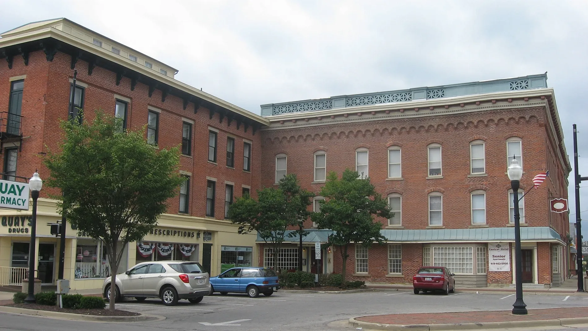
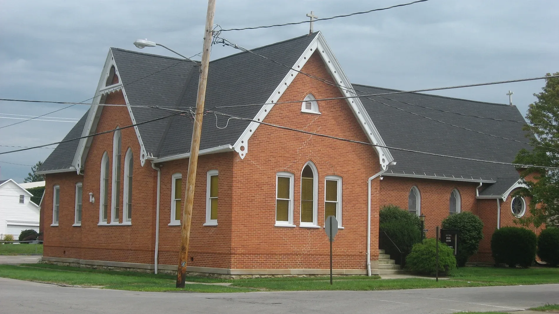
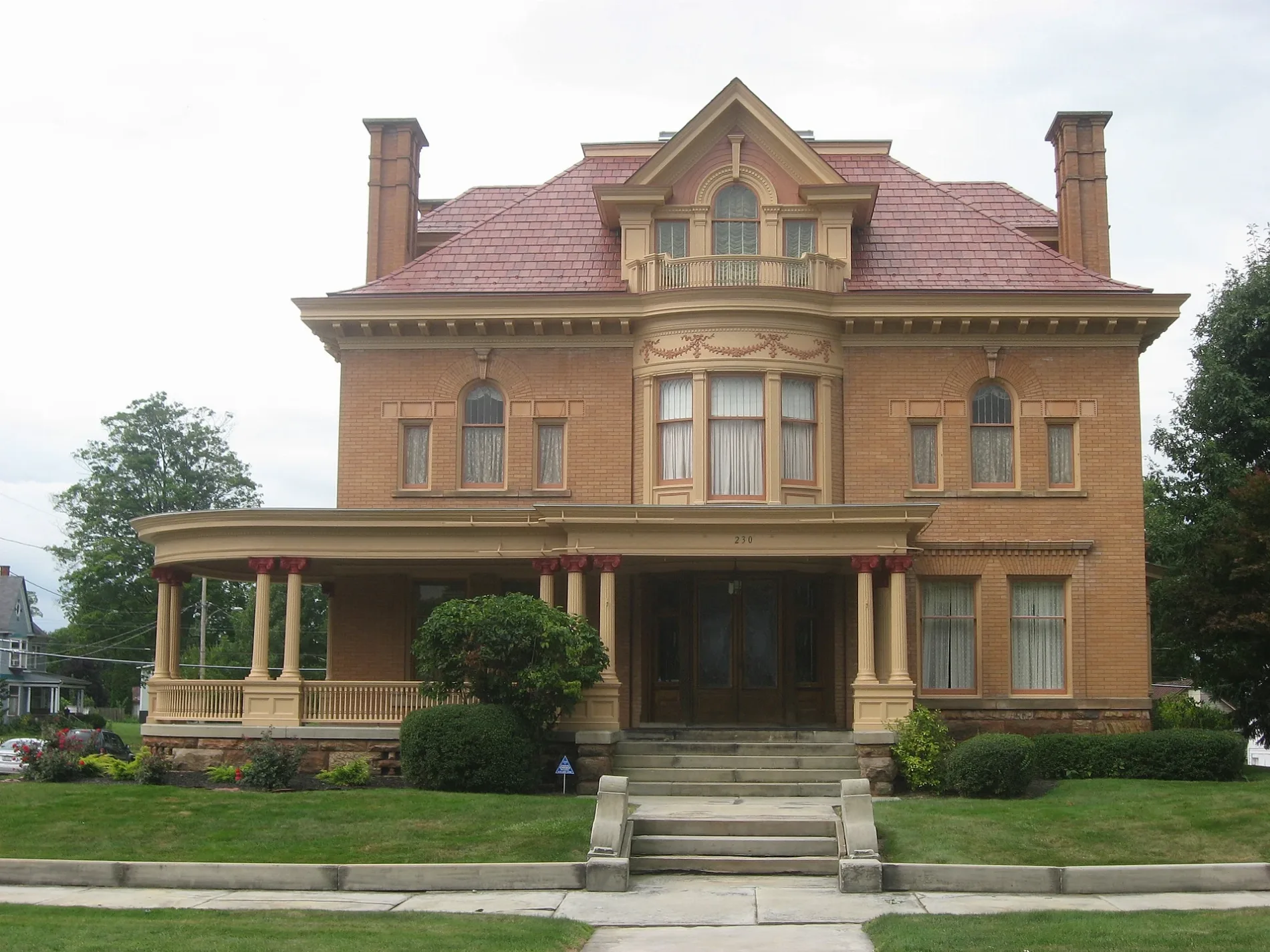
Streets in Galion, Ohio
Streets
Harding Way East
Impression Press, Cycling Sports Center, The Wistle Stop, Jade Palace, Bistro 217
West Walnut StreetPeace Lutheran Church, First Baptist Church, First Church of Christ Scientist
East Payne AvenueFirst Church of the Open Bible, First Church of Christ
Zimmerman AvenueGalion Seventh-day Adventist Church, Bradley M. Smith DDS
Smith StreetFirst Assembly of God Church
South Union StreetGrace Episcopal Church
Sherman StreetFoursquare Church
East Railroad StreetCP 80
North Union StreetTrinity Lutheran Church
South Columbus StreetFirst Lutheran Church
Harding Way WestGalion, Phil's Deli
East Walnut StreetFirst United Methodist Church
Rosewood AvenueGalion Meadows Nursing and Rehab
Cherry StreetSaint Paul United Methodist Church
North East StreetChurch of Christ
North Liberty StreetSaint Joseph School
West Atwood StreetChurch of the Nazarene
South Market StreetFirst Presbyterian Church
East Atwood Street
Cedar Gate Court
West Parson Street
Elmwood Drive
Park Avenue
Finley Drive
Southern Avenue
John Street
Wiggs Court
Henry Street
North Washington Street
Diamond Street
Snowmass Drive
Erie Street
Tiehack Court West
Meadow Lane
Tiehack Court East
Miami Street
Keckler Avenue
Lehigh Place
Hetrick Drive
Woodland Drive
Walker Street
Virgil Street
Heise Park Lane
Fortney Avenue
8th Avenue
Orchard Court
Fairview Avenue
Sara Avenue
Greenbrier Drive
Ajax Mountain Circle
Ash Street
North Boston Street
Oliver Street
West Street
Keller Drive
Poplar Street
Tuxedo Alley
Bender Avenue
Harding Way
Hess Street
Westgate Road
South Street
Goldenrod Drive
Galion Airport Road
Liberty Street
Galion Arms Court
Buttermilk Drive
Mackey Street
2nd AvenueAuto parts stores
Buildings
Cafes
Car dealerships
Places of worship
Restaurants
Supermarkets
Public transit map Galion Legend
| Railway | |
| Bus | |
| Streetcar |
Bicycle map Galion Legend
| Bike path | |
| Bike lane on roadway | |
| Cycling allowed on bus lane | |
| Bicycle street | |
| Open to cyclists | |
| Open to cyclists, good path | |
| Cycling prohibited | |
| Cobblestone |
| Long-distance bike route | (depending on scale) | |
| Long-distance bike route |
Pedestrian map Galion Legend
| Path |
| Long-distance hiking trail | (depending on scale) | |
| Long-distance hiking trail | ||
| Pedestrians prohibited |