
East 4th Street in Genoa, Ohio
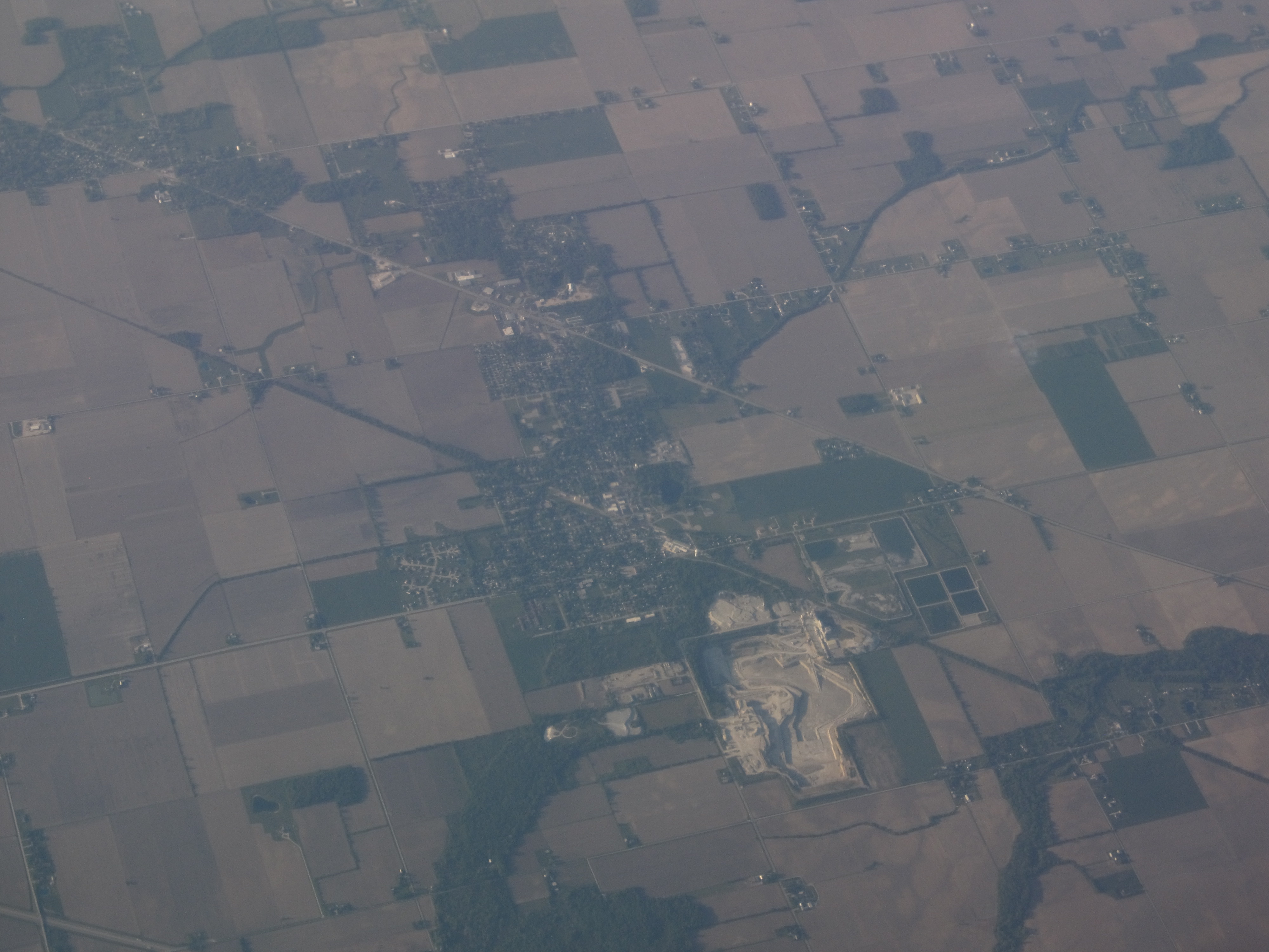
East 4th Street in Genoa is a secondary road (Road number SR 163). It runs in an east-west direction starting from West 4th Street and crosses Main Street, Lime Street and Lincoln Street. It ends in a cul-de-sac. This street is part of the highway "163".
- Road Type
- secondary road
- Route
- east-west
Image
Jewelry stores
Car washes
Variety stores
Banks
Bars
Laundries
Fast food restaurants
Ice cream shops
Restaurants
Cafes
Streets nearby
Lime Street150 ft
Lincoln Street550 ft
East 5th Street0.2 mi
East 3rd Street0.2 mi
East 2nd Street0.2 mi
East 6th Street0.2 mi
West 3rd Street0.3 mi
North Railroad Street0.3 mi
Rose Drive0.3 mi
West Street0.3 mi
East 8th Street0.3 mi
Superior Street0.3 mi
West 8th Street0.4 mi
West 2nd Street0.4 mi
West 5th Street0.4 mi
Buckeye Street0.4 mi
East 9th Street0.4 mi
South Railroad Street0.4 mi
Main StreetGenoa Bank, Huntington Bank, We B Tired Car Wash, Village Early Childhood Center, Premier Bank, R Cafe, The Bharmacy, Genoa Jewelers
0.4 mi
West 6th StreetGenoa
0.4 mi
Court Street0.5 mi
West 9th Street0.5 mi
East 10th Street0.5 mi
East 11th Street0.6 mi
Washington StreetGenoa Big Dipper
0.6 mi
North Coast Inland Trail0.6 mi
Helen M Angel Mhp0.7 mi
Auto repair shops nearby
Joe's Car Repair0.2 mi
Buildings nearby
Shelter House0.2 mi
Antique Furniture Repair0.2 mi
Old School Privy0.2 mi
Siglar and Sieving0.3 mi
Lucky Farmers0.4 mi
Community centers nearby
Genoa Senior Center0.2 mi
Fire stations nearby
Allen Clay Volunteer Fire Department0.2 mi
Interior decorators nearby
Genoa Custom Interiors0.3 mi
Libraries nearby
Genoa Branch Harris-Elmore Public Library0.3 mi
Parks nearby
Veteran's Memorial Park0.2 mi
Places of worship nearby
Trinity United Methodist Church0.2 mi
Genoa Christian Church0.2 mi
Our Lady of Lourdes Catholic Church0.3 mi
Police stations nearby
Genoa Police Department0.3 mi
Post offices nearby
Genoa Post office0.3 mi
Restaurants nearby
Rayz Cafe0.3 mi
Schools nearby
Genoa Area Junior High School0.4 mi
Sports fields nearby
Veterans Park Field 20.2 mi
Veterans Park Field 10.2 mi
Veterans Park Field 30.2 mi
Town halls nearby
Genoa Town Hall0.2 mi
Public transit map Genoa Legend
| Railway | |
| Bus | |
| Streetcar |
Bicycle map Genoa Legend
| Bike path | |
| Bike lane on roadway | |
| Cycling allowed on bus lane | |
| Bicycle street | |
| Open to cyclists | |
| Open to cyclists, good path | |
| Cycling prohibited | |
| Cobblestone |
| Long-distance bike route | (depending on scale) | |
| Long-distance bike route |
Pedestrian map Genoa Legend
| Path |
| Long-distance hiking trail | (depending on scale) | |
| Long-distance hiking trail | ||
| Pedestrians prohibited |