
East Scioto Street in Commercial Point, Ohio
East Scioto Street in Commercial Point is a secondary road (Road number SR 762). It runs in a northeast-southwest direction starting from West Scioto Street and crosses Main Street, 2nd Street, Front Street, 1st Street, Belshazzar Street and Cyrus Street. It ends in a cul-de-sac. This street is part of the highway "762". Nearby there is among others a post office.
- Road Type
- secondary road
- Route
- northeast-southwest
Image
Post offices
Streets nearby
Bowling Alley250 ft
1st Street350 ft
Cyrus Street450 ft
Assyrian Street500 ft
Belshazzar Street500 ft
Harsh Alley550 ft
Front Street0.1 mi
Hickory Alley0.1 mi
Edmonds Drive0.1 mi
Congress Street0.1 mi
2nd Street0.1 mi
Brittney Road0.2 mi
Adrian Court0.2 mi
South Alley0.2 mi
North AlleyCommercial Point United Methodist Church
0.2 mi
West AlleyRick's Barber Shop
0.2 mi
3rd Street0.2 mi
Victorian Drive0.2 mi
Brown Street0.2 mi
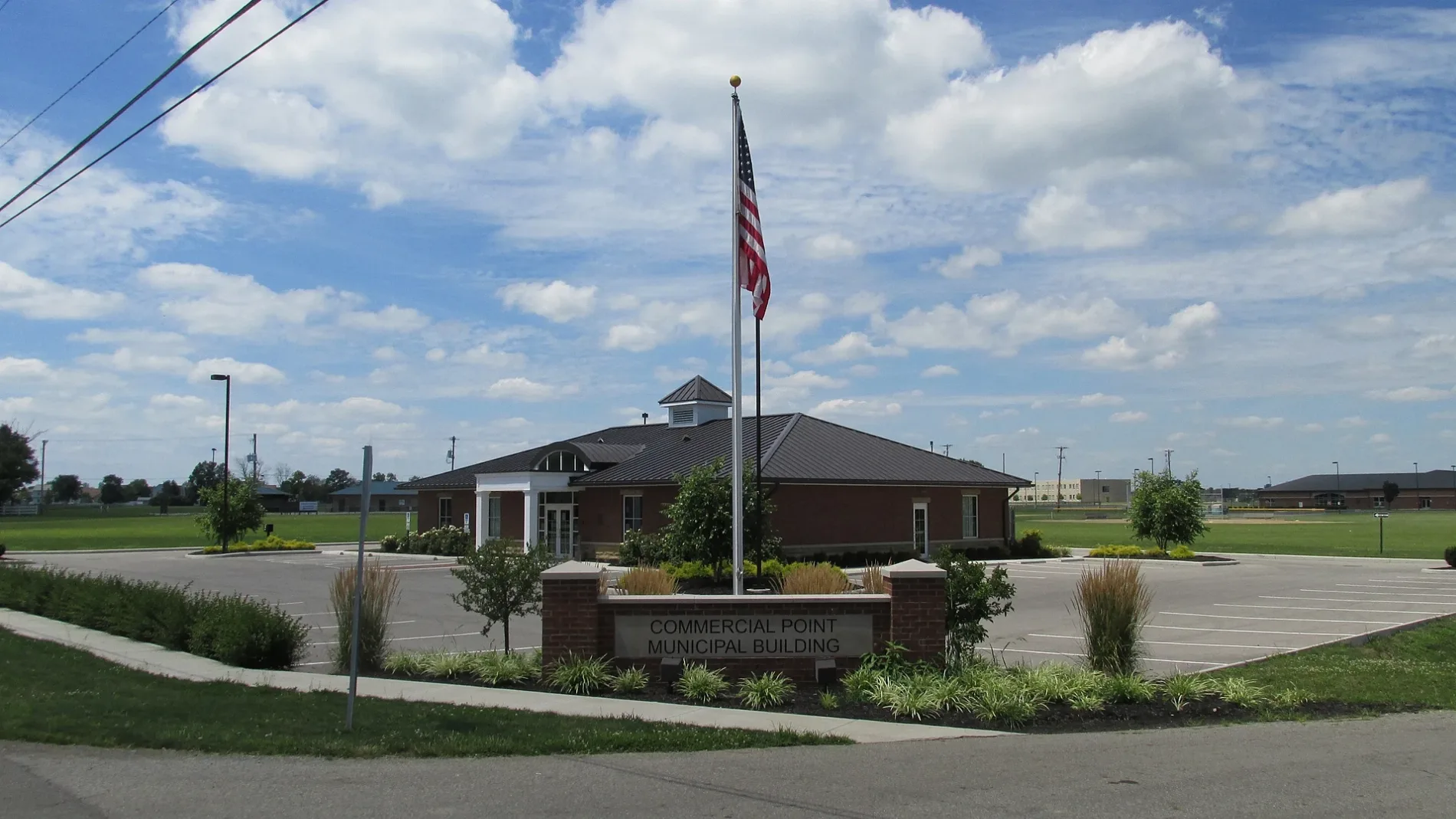
West Scioto StreetCommercial Point Municipal Building
0.3 mi
Alberta Drive0.3 mi
Schall Place0.3 mi
Yukon Drive0.3 mi
Heidish Drive0.3 mi
Conley Drive0.3 mi
Carmel Court0.3 mi
Cavanaugh Drive0.3 mi
Walker Pointe Drive0.3 mi
Foxfire Boulevard0.4 mi
Main Street0.4 mi
Players Club Court0.5 mi
Grove Run RoadTeays Valley West Middle School
0.6 mi
Genoa Road0.6 mi
Peters Run Road0.6 mi
Genoa Circle0.6 mi
Walnut Creek Drive0.6 mi
Plum Run Court0.7 mi
Waterman Avenue0.7 mi
Lockbay Road0.7 mi
Parkview Avenue0.7 mi
Borror Road0.8 mi
Bridge Street North0.9 mi
Walker Road1.0 mi
Buildings nearby
Scioto Elementary0.3 mi
Cemeteries nearby
Beckett Cemetery0.6 mi
Presbyterian Cemetery0.7 mi
Fire stations nearby
Scioto Township Fire Station0.4 mi
Golf courses nearby
The Players Club at Foxfire0.3 mi
School buildings nearby
Teays Valley West Middle School0.6 mi
Public transit map Commercial Point Legend
| Railway | |
| Bus | |
| Streetcar |
Bicycle map Commercial Point Legend
| Bike path | |
| Bike lane on roadway | |
| Cycling allowed on bus lane | |
| Bicycle street | |
| Open to cyclists | |
| Open to cyclists, good path | |
| Cycling prohibited | |
| Cobblestone |
| Long-distance bike route | (depending on scale) | |
| Long-distance bike route |
Pedestrian map Commercial Point Legend
| Path |
| Long-distance hiking trail | (depending on scale) | |
| Long-distance hiking trail | ||
| Pedestrians prohibited |