
Buckskin Township
Buckskin Township is located in Ross County. About 2,047 people live here (as of 2020). Between 2010 and 2020, the population grew from 2,039 to 2,047. The region is at 335 meters above sea level. The region is divided into 2 Municipalities. Buckskin Township is township in Ross County, Ohio.
Buckskin Township – Facts
| Population | 2047 |
|---|---|
| Area | 50.3 |
| Subregions | 2 |
| Elevation | 335 m |
| Located in | Ross County |
| Country | United States |
Data source: Wikidata (CC0)
Municipalities in Buckskin Township
Photos from Buckskin Township
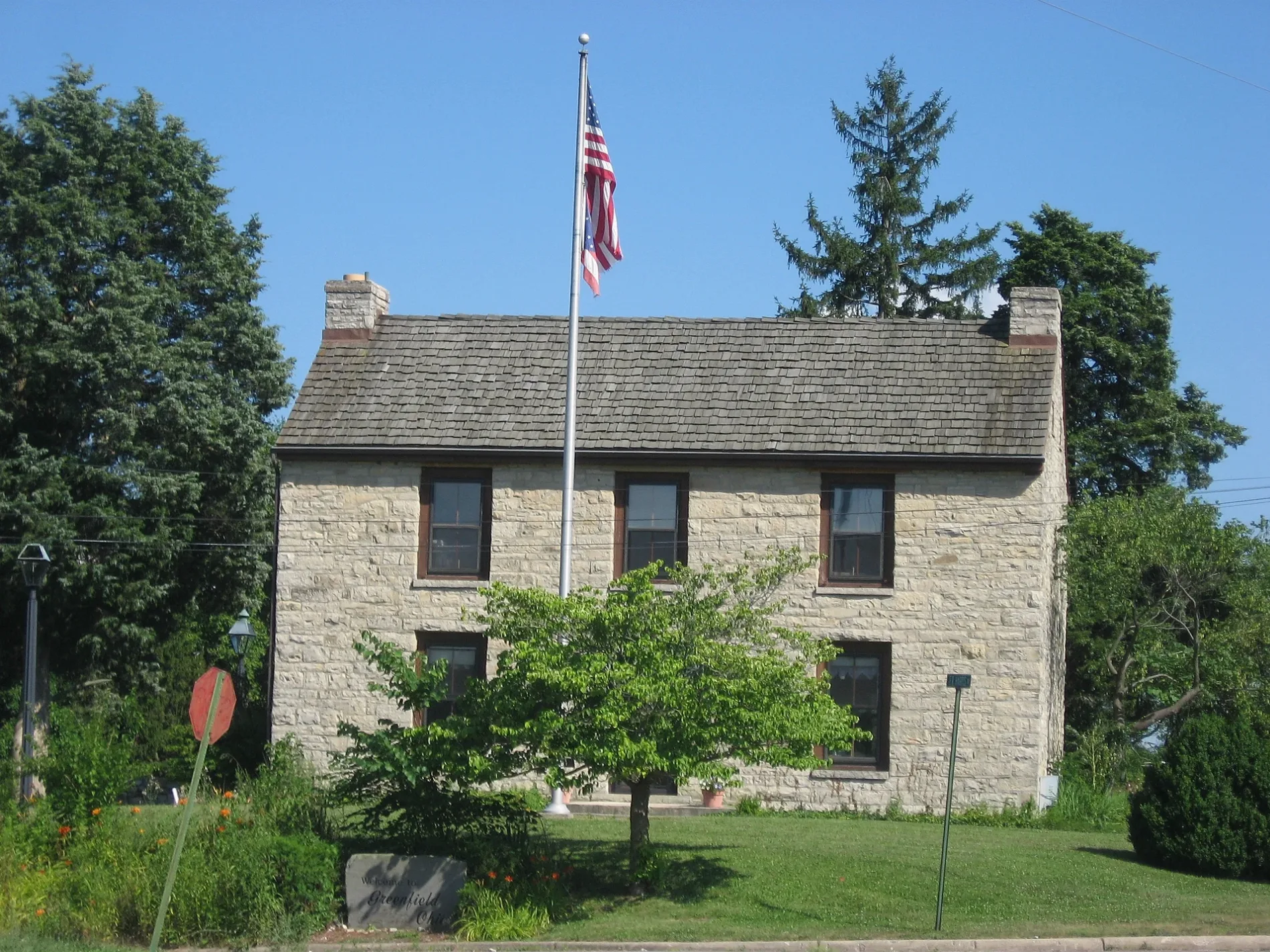
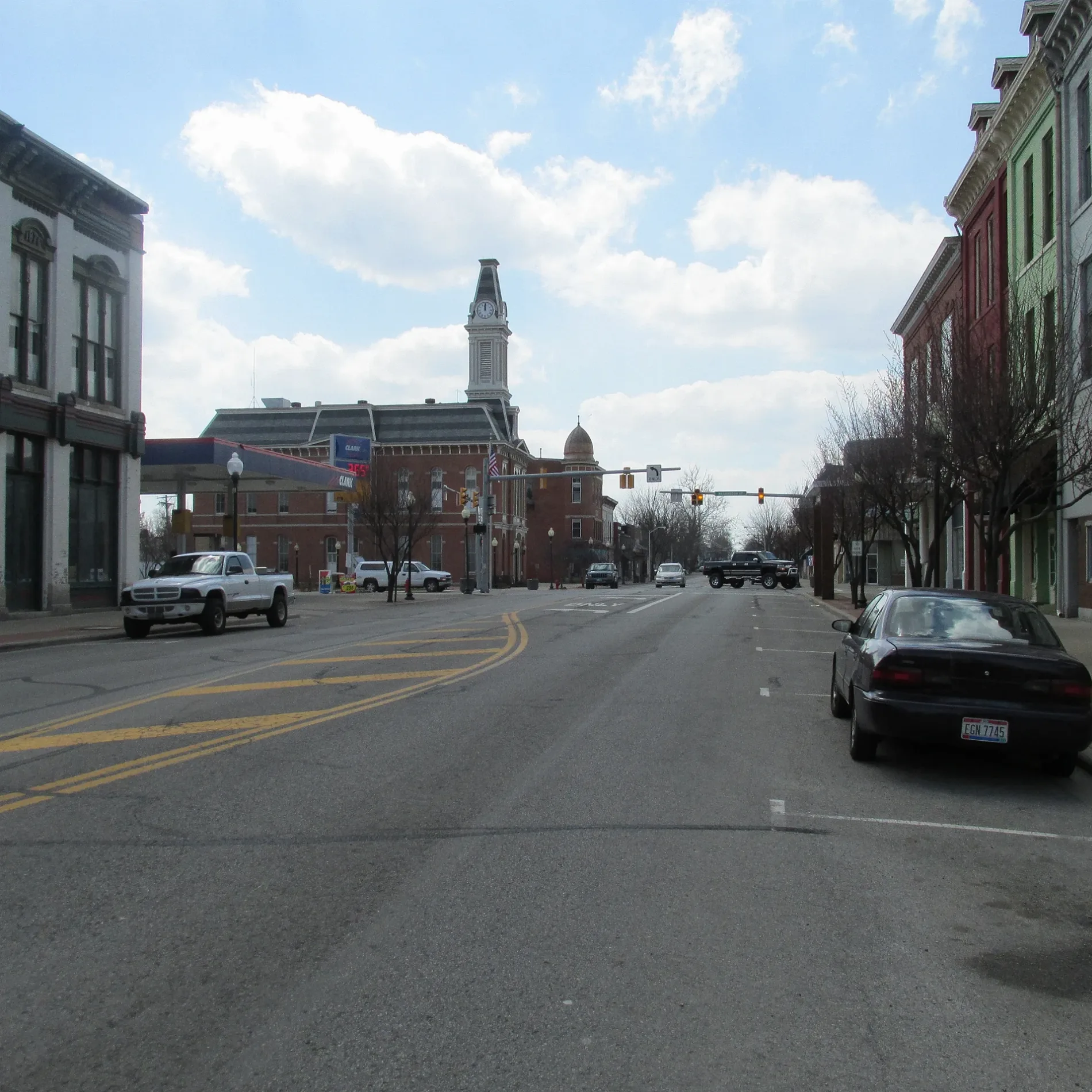
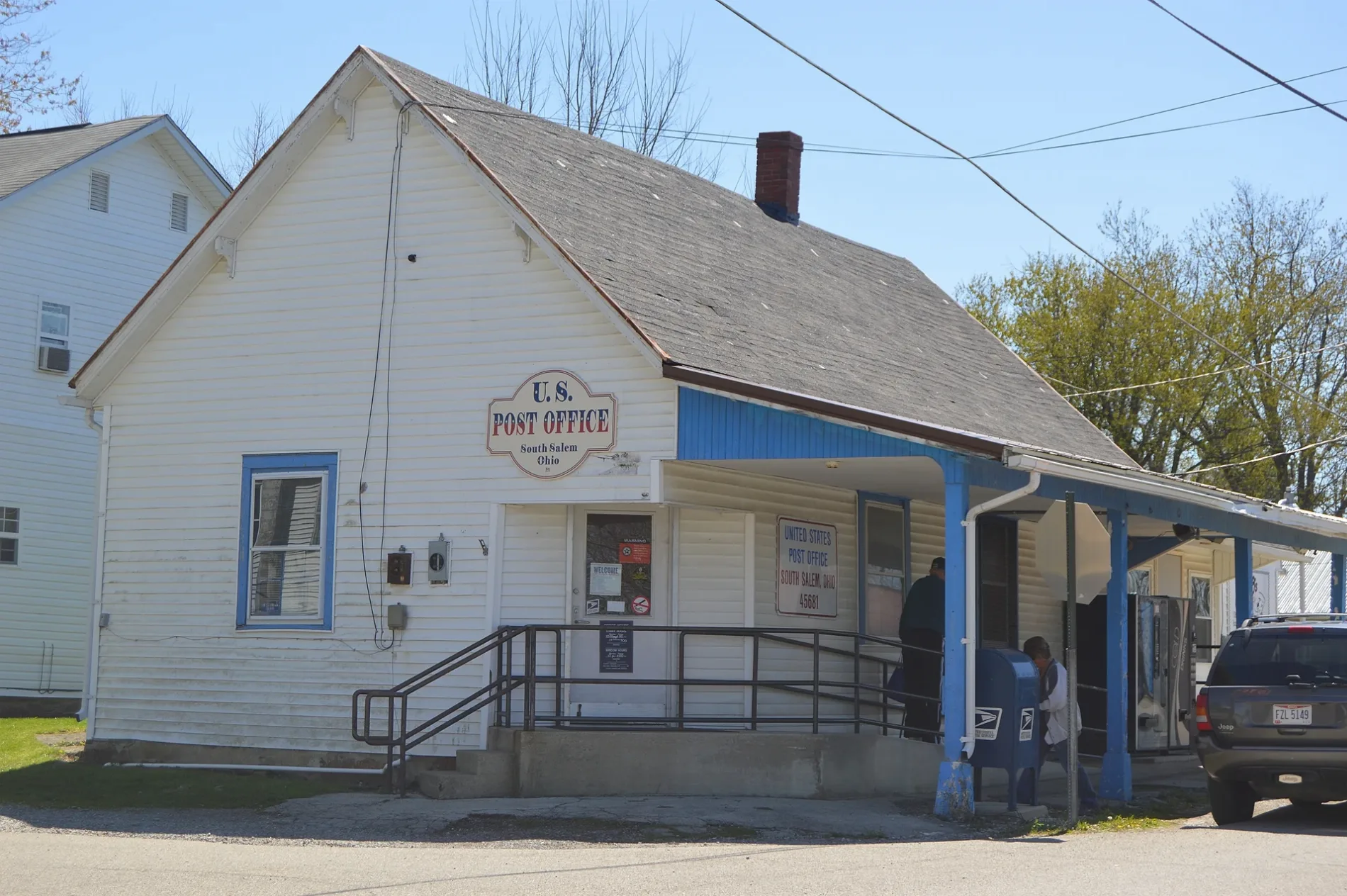
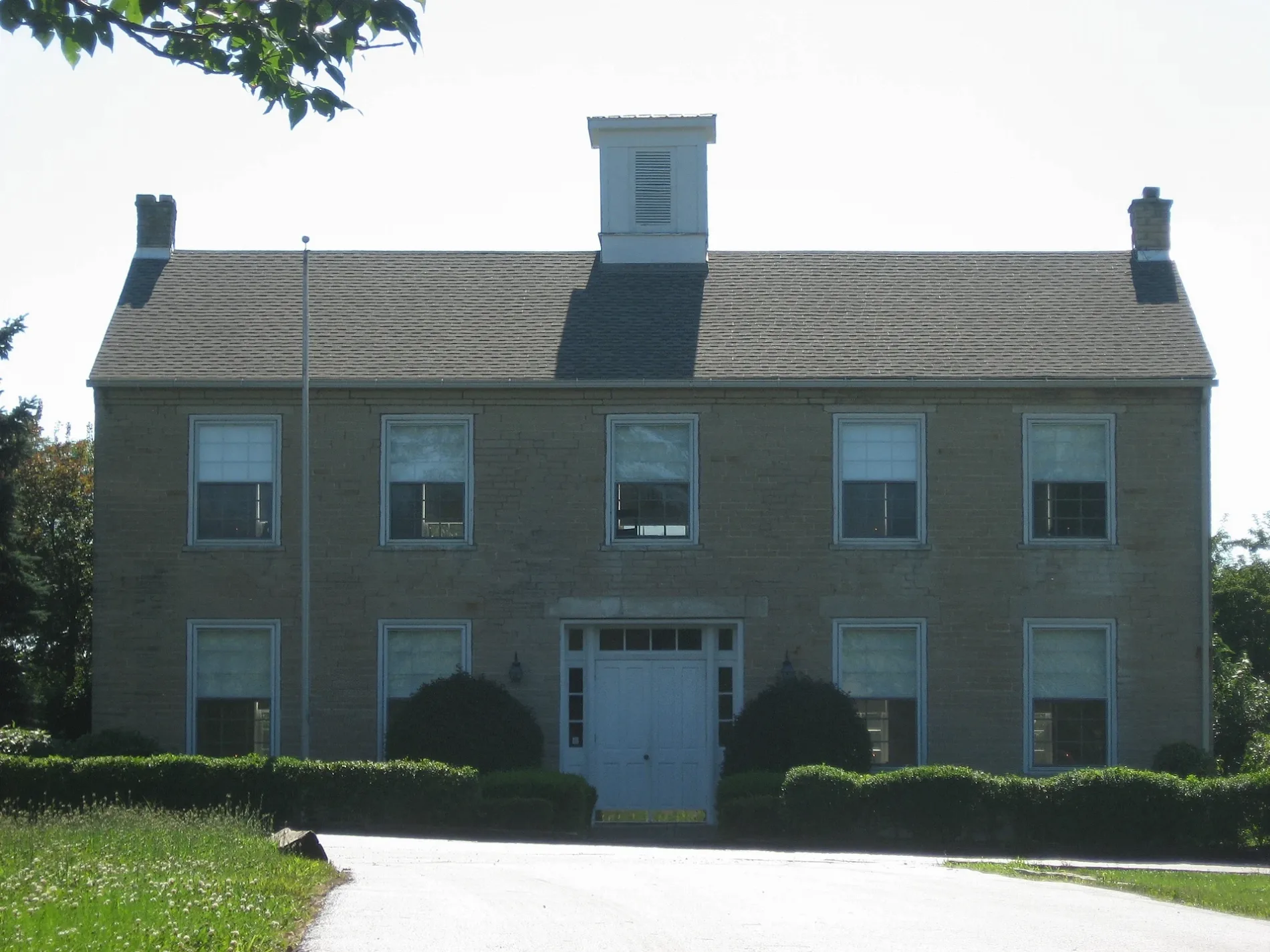
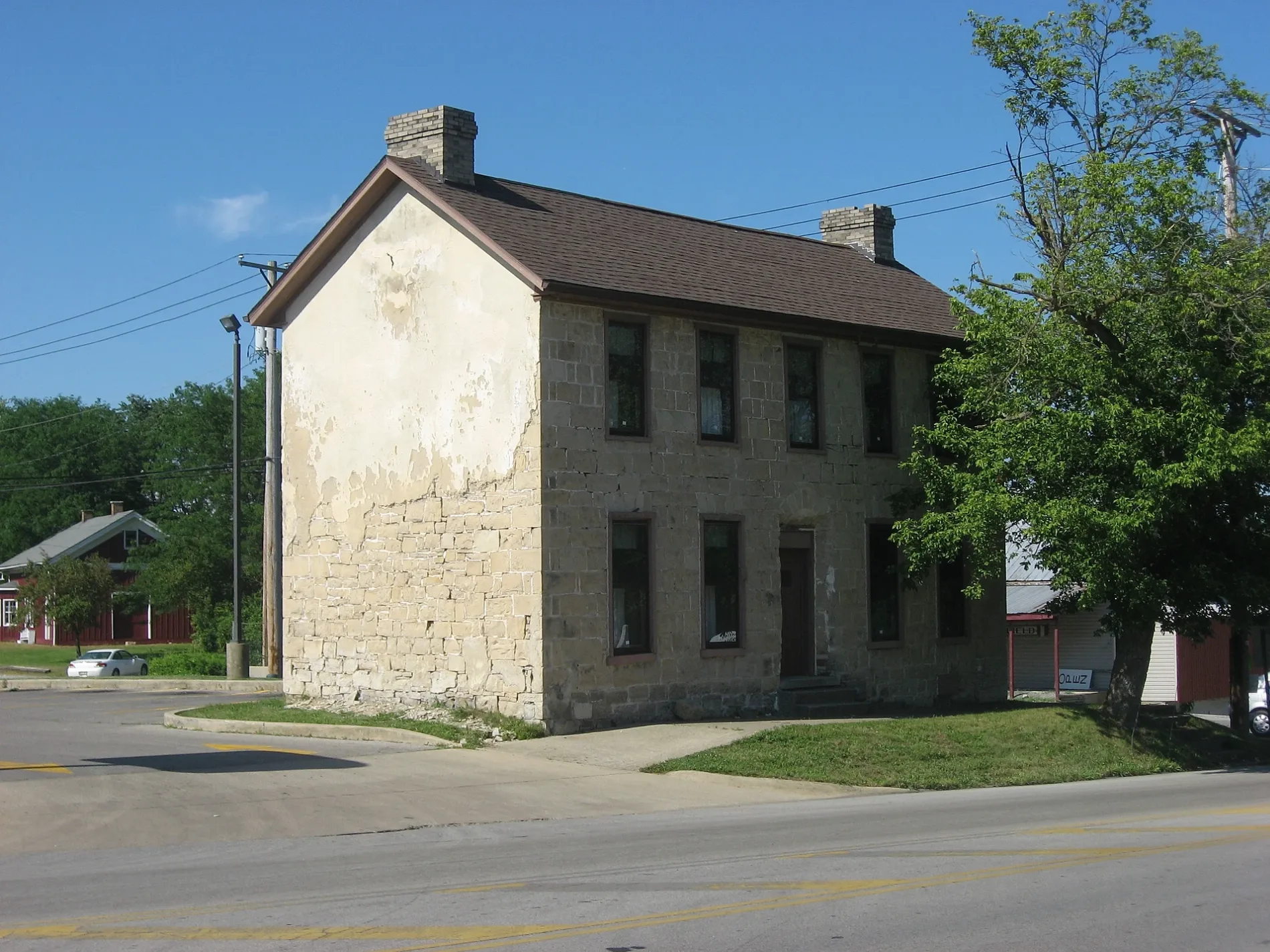
Streets in Buckskin Township
Streets
Lyndon Good Hope Road
Pisgah Church
State Route 28Pepsi
State Route 41Thrifton
Halley Lane
Haney Lane South
Dewey Creek Road
Irwin Lane
Black Lane
Seldon Hill Road
Kline Road
Coyner Road
Edgington Road
Harper Station Road
Beath Lane
Lyndon Salem RoadLyndon
Slate Hill Road
Lower Twin Road
Turkey Ridge Road
McCann Road
Cart Lane
Wisecup Hill Road
Morgan Road
Bayless Road
White Lane
Wolfe Road
Briggs Road
Waugh Road
County Highway 57A
Irvine Lane
Thrifton Road
Parrett Road
Fout Road
Dwyer Road
Westfall Road
Township Highway 53
Morton Road
Lyndon Road
Wright Lane
Blain Lane
Moon Road
Rapid Forge Road
Salem RoadCemeteries
Covered areas
Farm supply stores
Streams
Public transit map Buckskin Township Legend
| Railway | |
| Bus | |
| Streetcar |
Bicycle map Buckskin Township Legend
| Bike path | |
| Bike lane on roadway | |
| Cycling allowed on bus lane | |
| Bicycle street | |
| Open to cyclists | |
| Open to cyclists, good path | |
| Cycling prohibited | |
| Cobblestone |
| Long-distance bike route | (depending on scale) | |
| Long-distance bike route |
Pedestrian map Buckskin Township Legend
| Path |
| Long-distance hiking trail | (depending on scale) | |
| Long-distance hiking trail | ||
| Pedestrians prohibited |