
East 2nd Street in Chillicothe, Ohio
East 2nd Street in Chillicothe is a residential street. It runs in an east-west direction starting from West 2nd Street and crosses North Paint Street, North Mulberry Street, North Hickory Street, North Bridge Street, Mosher Avenue, North Sugar Street, North McArthur Street, North Rose Street, North Brownell Street, North Watt Street and Prospect Street. It ends in a cul-de-sac. Nearby there is a variety store.
- Road Type
- residential street
- Route
- east-west
Image
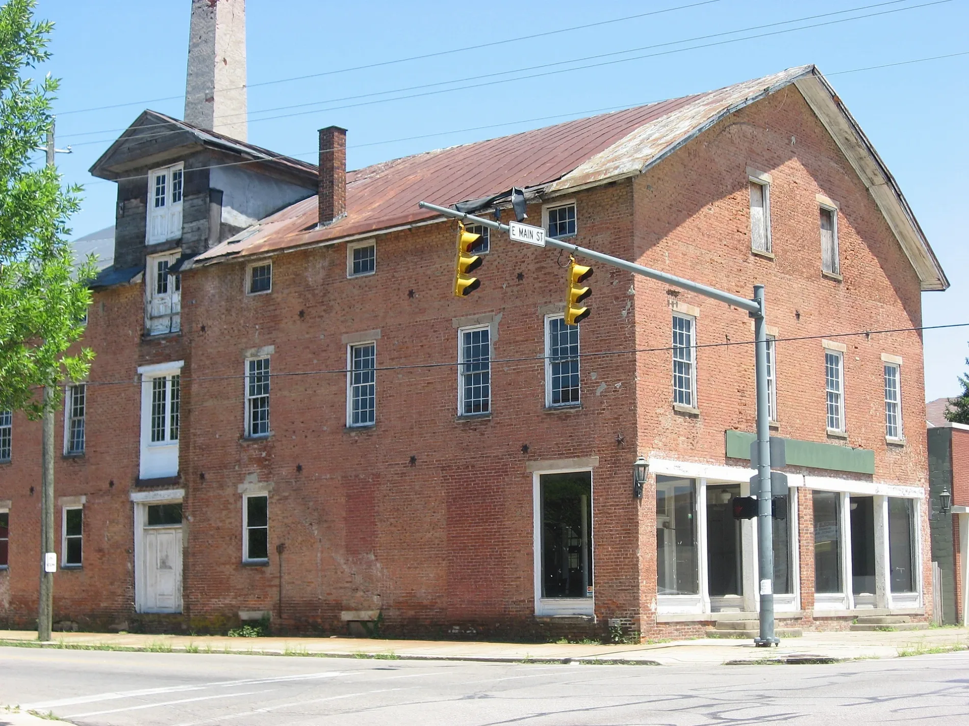
Variety stores
Streets nearby
East Water StreetThe Lunch Box
500 ft
North Hickory Street0.1 mi
East Main StreetSpeedway, Eagle Loan Company, Cheap Tobacco, Boost Mobile, Zanzis Pizza, Trinity United Methodist Church, 50 West Brewpub, Opulent Source, LLC
0.1 mi
Mosher Avenue0.1 mi
East 4th StreetSaint Marys School, Paper City Coffee, Mighty Children's Museum
0.2 mi
Race Street0.2 mi
Hirn Street0.2 mi
North Sugar Street0.2 mi
Ewing Street0.2 mi
Scioto Avenue0.2 mi
South Hickory Street0.3 mi
North Bridge StreetChipotle, Taco Bell, Panera Bread, Steak 'n Shake, Aspen Dental, Mattress Firm, T-Mobile, Great Clips, Little Caesars, Penn Station, Vapor Station, Instant Auto Sales, Chivaho Federal Credit Union, Subway, Pizza Hut, Dairy Queen, Metro by T-Mobile, Chips Drive Thru, Cash Land
0.3 mi
South Bridge StreetFashion Exchange Consignment
0.3 mi
East 5th Street0.3 mi
South Sugar Street0.3 mi
Columbia Avenue0.3 mi
Long Street0.3 mi
Riverside StreetChargePoint
0.3 mi
Redd Street0.3 mi
North McArthur Street0.4 mi
East 6th Street0.4 mi
Sycamore Street0.4 mi
North Rose Street0.4 mi
Olive Street0.5 mi
Paint Creek Recreational Trail0.5 mi
Abandoned railways nearby
B&O Mainline0.1 mi
Auto parts stores nearby
O'Reilly Auto Parts0.2 mi
AutoZone0.2 mi
Banks nearby
Ross County Banking Center0.1 mi
Huntington Bank0.2 mi
Buildings nearby
Southern Ohio Monument Co.0.2 mi
American Red Cross0.2 mi
Justice Financial Services0.3 mi
Car dealerships nearby
Nourse EZ Credit Auto Sales0.1 mi
Community centers nearby
AMVETS Post 4 - Chillicothe0.1 mi
VFW Post 1080.3 mi
Fast food restaurants nearby
McDonald's150 ft
Crispie Creme Donuts200 ft
Wendy's350 ft
Rally's0.1 mi
Laundries nearby
Mac's Place Coin Laundry0.2 mi
Motels nearby
Executive Inn400 ft
Paint stores nearby
Sherwin-Williams0.2 mi
Parks nearby
Poland Park0.3 mi
Places of worship nearby
Tabernacle Baptist Church500 ft
Bridge Street Church of Christ0.2 mi
Salem Church0.3 mi
Railways nearby
Columbus District0.3 mi
Restaurants nearby
Donatos Pizza400 ft
Public transit map Chillicothe Legend
| Railway | |
| Bus | |
| Streetcar |
Bicycle map Chillicothe Legend
| Bike path | |
| Bike lane on roadway | |
| Cycling allowed on bus lane | |
| Bicycle street | |
| Open to cyclists | |
| Open to cyclists, good path | |
| Cycling prohibited | |
| Cobblestone |
| Long-distance bike route | (depending on scale) | |
| Long-distance bike route |
Pedestrian map Chillicothe Legend
| Path |
| Long-distance hiking trail | (depending on scale) | |
| Long-distance hiking trail | ||
| Pedestrians prohibited |