
Hospital Street in Chillicothe, Ohio
Hospital Street in Chillicothe is a residential street and it runs in a north-south direction starting from Mill Street and ends at Chestnut Street.
- Road Type
- residential street
- Route
- north-south
Image
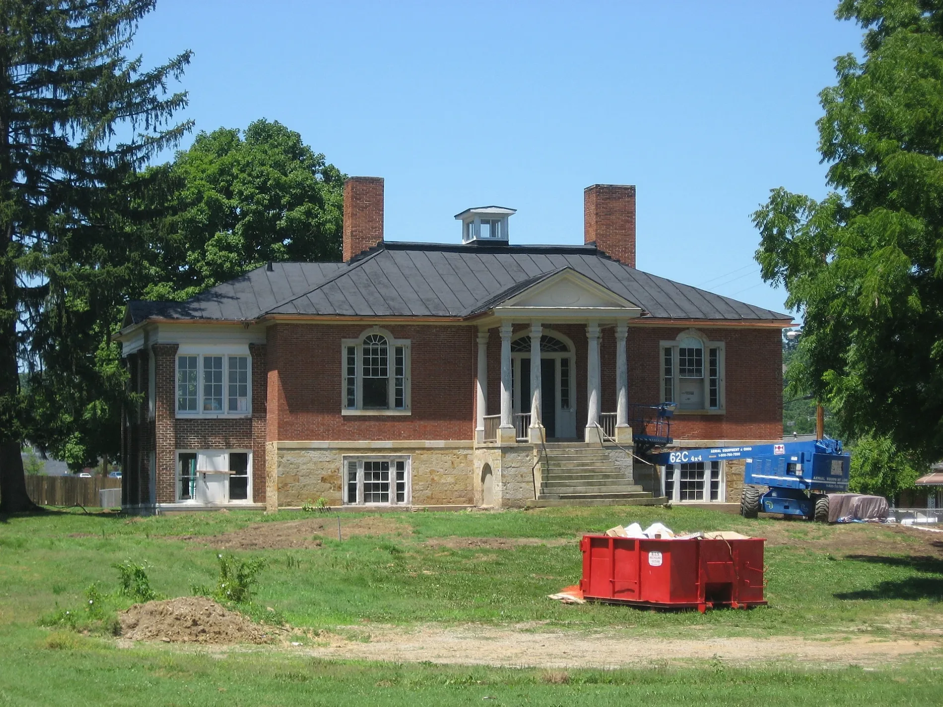
Schools
Artworks
Pawn shops
Appliance stores
Bookstores
Cafes
Libraries
Restaurants
Beauty salons
Cell phone stores
Post offices
Boutiques
Beverage stores
Places of worship
Charging stations
Viewpoints
Dentist offices
Candy stores
Florists
Fast food restaurants
Streets nearby
Gerber Avenue400 ft
Cherry Street0.1 mi
Elm Street0.1 mi
Western AvenueY2 Nails, Buckeye Gold Center, Metro by T-Mobile, R&M Quality Floors, Abbey Carpet
0.1 mi
Arch Street0.2 mi
Plum Street0.2 mi
Locust Street0.2 mi
Chestnut Street0.2 mi
South Locust Street0.2 mi
Delano Avenue0.2 mi
Metzger Avenue0.2 mi
Ringwald Street0.2 mi
West Water StreetFlaget School, First Christian Church
0.2 mi
Delano Court0.3 mi
Central Center0.3 mi
Wissler Drive0.3 mi
Mill Street0.3 mi
Huron Road0.3 mi
West 2nd StreetFirst Church of Christ Scientist, Grounded, Hastings Electric
0.3 mi
Allen Avenue0.3 mi
Vine Street0.3 mi
Seminole Road0.3 mi
McKell Road0.3 mi
Stacey Road0.4 mi
Church Street0.4 mi
West Main StreetChillicothe, Peking Chinese Restaurant, Jimmy John's
0.4 mi
Oneida Road0.4 mi
Commanche Road0.4 mi
Fairway Avenue0.4 mi
North Bowman Road0.4 mi
North Woodbridge Avenue0.5 mi
Dun Avenue0.5 mi
Auto parts stores nearby
NAPA Auto Parts0.3 mi
AutoZone0.4 mi
Auto repair shops nearby
Jiffy Lube0.5 mi
Banks nearby
Huntington Bank0.3 mi
Buildings nearby
Ohio Division of Forestry Regional Headquarters0.4 mi
Ross County Service Center0.4 mi
Fast food restaurants nearby
Papa John's0.4 mi
Places of worship nearby
Zion Baptist Church0.2 mi
Chillicothe Seventh-Day Adventist Church0.3 mi
Tyler Memorial United Methodist Church0.3 mi
Saint Peters Catholic Church0.3 mi
Residential areas nearby
Carlisle Crest Apartments0.4 mi
Restaurants nearby
Cozy Inn Bar & Grill0.1 mi
Giovanni's Pizza0.2 mi
Ambers Drive Thru0.2 mi
School buildings nearby
Chillicothe Intermediate School0.2 mi
University buildings nearby
Technology & Business Development Center0.5 mi
Public transit map Chillicothe Legend
| Railway | |
| Bus | |
| Streetcar |
Bicycle map Chillicothe Legend
| Bike path | |
| Bike lane on roadway | |
| Cycling allowed on bus lane | |
| Bicycle street | |
| Open to cyclists | |
| Open to cyclists, good path | |
| Cycling prohibited | |
| Cobblestone |
| Long-distance bike route | (depending on scale) | |
| Long-distance bike route |
Pedestrian map Chillicothe Legend
| Path |
| Long-distance hiking trail | (depending on scale) | |
| Long-distance hiking trail | ||
| Pedestrians prohibited |