
Dun Avenue in Chillicothe, Ohio
Dun Avenue in Chillicothe is a residential street and runs in an east-west direction starting from South Woodbridge Avenue and ends in a cul-de-sac.
- Road Type
- residential street
- Route
- east-west
Image
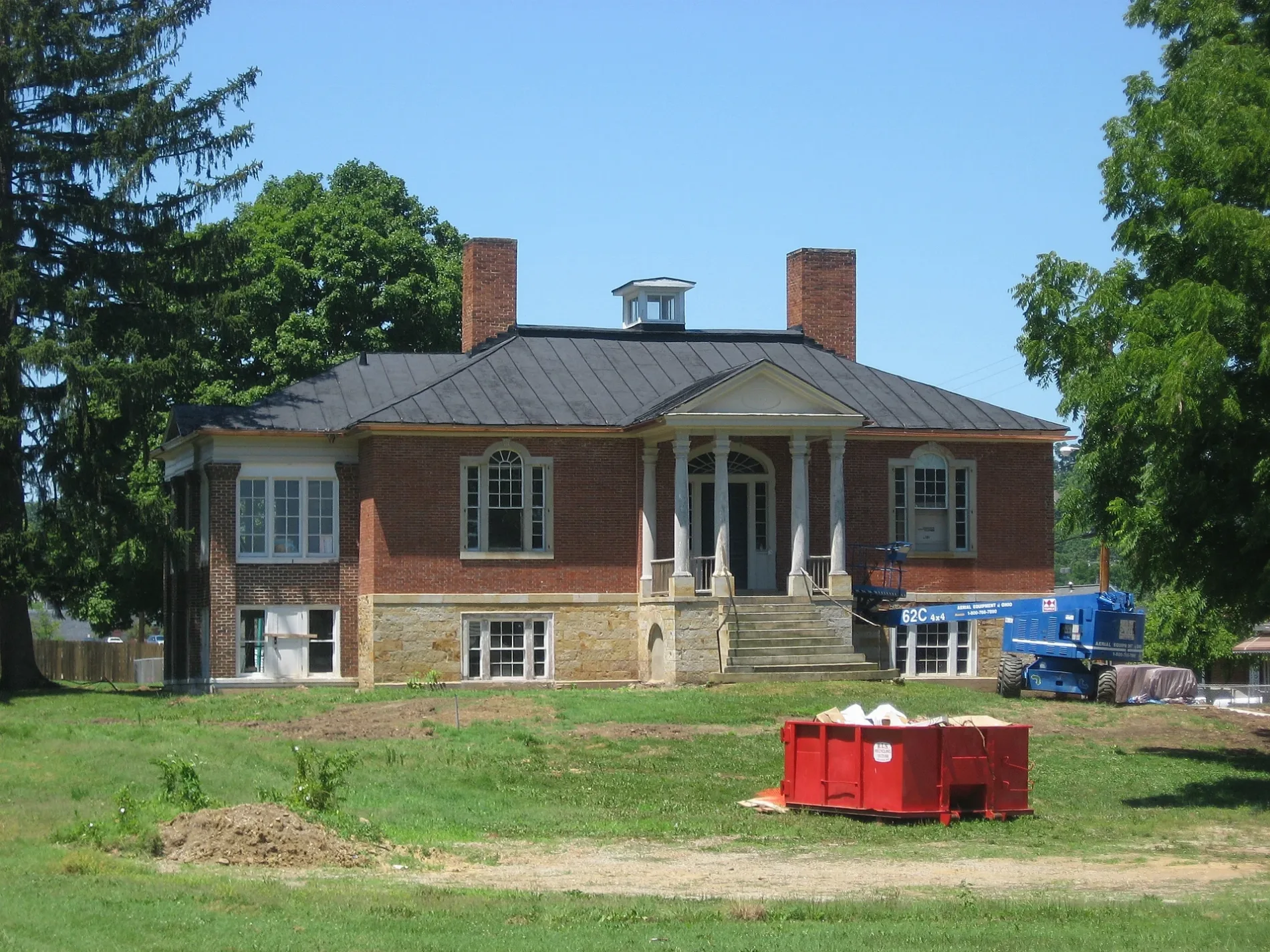
Beauty salons
Cell phone stores
Viewpoints
Post offices
Candy stores
Florists
Beverage stores
Restaurants
Pawn shops
Libraries
Dentist offices
Hair salons
Bookstores
Massage therapy clinics
Fast food restaurants
Places of worship
Artworks
Appliance stores
Prisons
Boutiques
Cafes
Streets nearby
South Woodbridge Avenue200 ft
Kendrick Avenue0.1 mi
University Drive0.2 mi
North Woodbridge Avenue0.2 mi
Annis Court0.2 mi
Governers Way0.2 mi
Saint Clair Drive0.2 mi
South Locust Street0.3 mi
Locust Street0.3 mi
Delano Court0.3 mi
Fairway Avenue0.3 mi
Mill Street0.3 mi
Central Center0.3 mi
Delano Avenue0.3 mi
West Water StreetFirst Christian Church
0.3 mi
West 2nd StreetFirst Church of Christ Scientist, Grounded, Hastings Electric, Ross County Jail
0.4 mi
Pohlman Road0.4 mi
Elm Street0.4 mi
Edgewood Court0.4 mi
Western AvenueY2 Nails, Buckeye Gold Center, Metro by T-Mobile, R&M Quality Floors, Abbey Carpet
0.4 mi
Gerber Avenue0.5 mi
Hidden Point Lane0.5 mi
West 5th Street0.5 mi
Devon Road0.5 mi
Greenway Avenue0.5 mi
North Bowman Road0.5 mi
Oak Lane0.5 mi
Brennan Road0.5 mi
West 4th StreetUSPS post office
0.5 mi
Auto parts stores nearby
AutoZone300 ft
NAPA Auto Parts0.2 mi
Auto repair shops nearby
Jiffy Lube350 ft
Banks nearby
Kingston National Bank550 ft
Huntington Bank0.2 mi
Buildings nearby
Ross County Service Center0.1 mi
Fast food restaurants nearby
Dunkin'0.1 mi
Places of worship nearby
Zion Baptist Church0.4 mi
The Church of Jesus Christ of Latter-day Saints0.4 mi
Residential areas nearby
Carlisle Crest Apartments0.4 mi
Restaurants nearby
Ambers Drive Thru0.2 mi
Giovanni's Pizza0.3 mi
Cozy Inn Bar & Grill0.4 mi
Shoe stores nearby
Scioto Shoe Mart400 ft
Social facilities nearby
National Church Residences0.2 mi
University buildings nearby
Shoemaker Center0.3 mi
Bennett Hall0.3 mi
Technology & Business Development Center0.3 mi
Stevenson Center0.3 mi
Child Development & Family Service Center0.4 mi
Public transit map Chillicothe Legend
| Railway | |
| Bus | |
| Streetcar |
Bicycle map Chillicothe Legend
| Bike path | |
| Bike lane on roadway | |
| Cycling allowed on bus lane | |
| Bicycle street | |
| Open to cyclists | |
| Open to cyclists, good path | |
| Cycling prohibited | |
| Cobblestone |
| Long-distance bike route | (depending on scale) | |
| Long-distance bike route |
Pedestrian map Chillicothe Legend
| Path |
| Long-distance hiking trail | (depending on scale) | |
| Long-distance hiking trail | ||
| Pedestrians prohibited |