
State Route 41 in Ross County, Ohio
State Route 41 in Ross County is a secondary road. This street is part of the Highway "41". Nearby there is among others place of worship.
- Road Type
- secondary road
Image
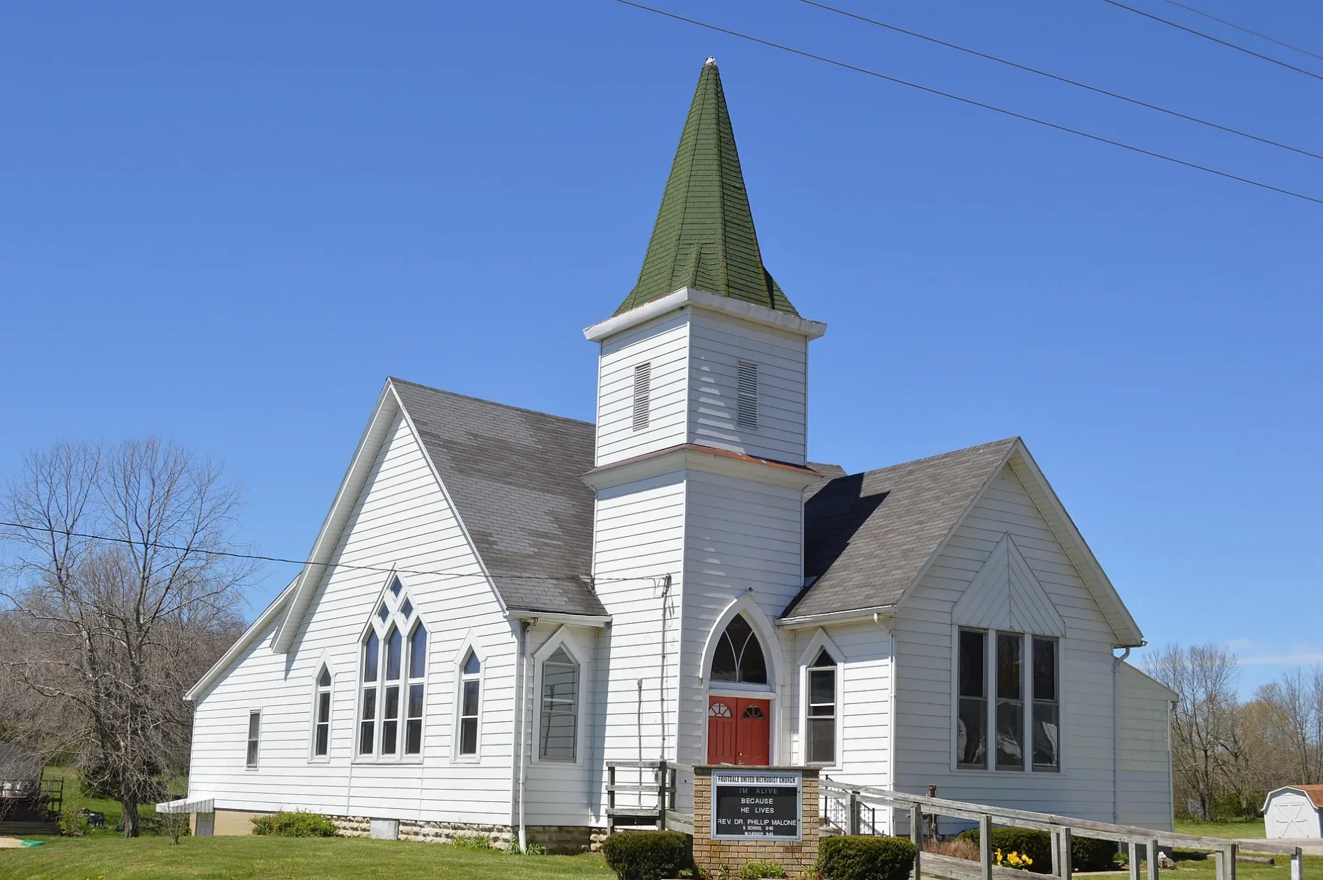
Places of worship
Streets nearby
Moxley RoadFruitdale
1.0 mi
Rolfe Road1.1 mi
Rapid Forge RoadDwyer Cemetery
1.4 mi
Chambliss Road1.5 mi
Salem Road1.6 mi
Irwin Lane1.8 mi
Lower Twin Road1.9 mi
Cliff Run Road1.9 mi
Draher Lane2.0 mi
Weller Lane2.1 mi
Free Lane2.2 mi
Garman Lane2.3 mi
Mount Olive Road2.3 mi
Moon Road2.3 mi
Paint Creek Road2.6 mi
Paint Creek Recreational Trail2.7 mi
Lewis Lane2.8 mi
Paugh RoadWeller Cemetery
2.8 mi
Morton Road2.8 mi
Wilson Moon Way2.9 mi
Church Street3.0 mi
Fordyce Road3.0 mi
Broadway StreetSouth Salem
3.0 mi
Carroll Alley3.0 mi
Pricer Ridge Road3.0 mi
Coyner Road3.1 mi
South Loop3.1 mi
Township Highway 533.1 mi
Old Westfall Road3.1 mi
Stewart Street3.2 mi
Main Street3.3 mi
Lyndon Salem RoadLyndon
3.3 mi
Wright Lane3.4 mi
Shops nearby
Camp Store3.1 mi
Buildings nearby
Nature Center3.2 mi
Cemeteries nearby
Hixson Cemetery2.5 mi
South Salem Cemetery3.0 mi
Old Stone Cemetery3.2 mi
Satchel Cemetery3.3 mi
Covered areas nearby
Buckskin Covered Bridge2.7 mi
Places of worship nearby
Buckskin Community Church2.9 mi
South Salem United Methodist Church3.0 mi
Post offices nearby
U.S. Post Office3.1 mi
Railways nearby
Greenfield Subdivision3.4 mi
Restaurants nearby
Steve-O's Pizza3.1 mi
Rivers nearby
Paint Creek2.9 mi
Schools nearby
Buckskin Elementary School2.9 mi
Streams nearby
Buckskin Creek1.4 mi
Waters nearby
Crawley Lake2.9 mi
 Public transit map Ross County Legend
 | Railway | |
| Bus | |
| Streetcar |
 Bicycle map Ross County Legend
 | Bike path | |
| Bike lane on roadway | |
| Cycling allowed on bus lane | |
| Bicycle street | |
| Open to cyclists | |
| Open to cyclists, good path | |
| Cycling prohibited | |
| Cobblestone |
| Long-distance bike route | (depending on scale) | |
| Long-distance bike route |
 Pedestrian map Ross County Legend
 | Path |
| Long-distance hiking trail | (depending on scale) | |
| Long-distance hiking trail | ||
| Pedestrians prohibited |