
30th Street Southwest in Canton Township
30th Street Southwest in Stark County is a residential street. It runs in an east-west direction starting from Eversole Avenue Southwest and crosses Hale Avenue Southwest and ends at Cleveland Avenue Southwest. Nearby there is a laundry.
- Road Type
- residential street
- Route
- east-west
Image
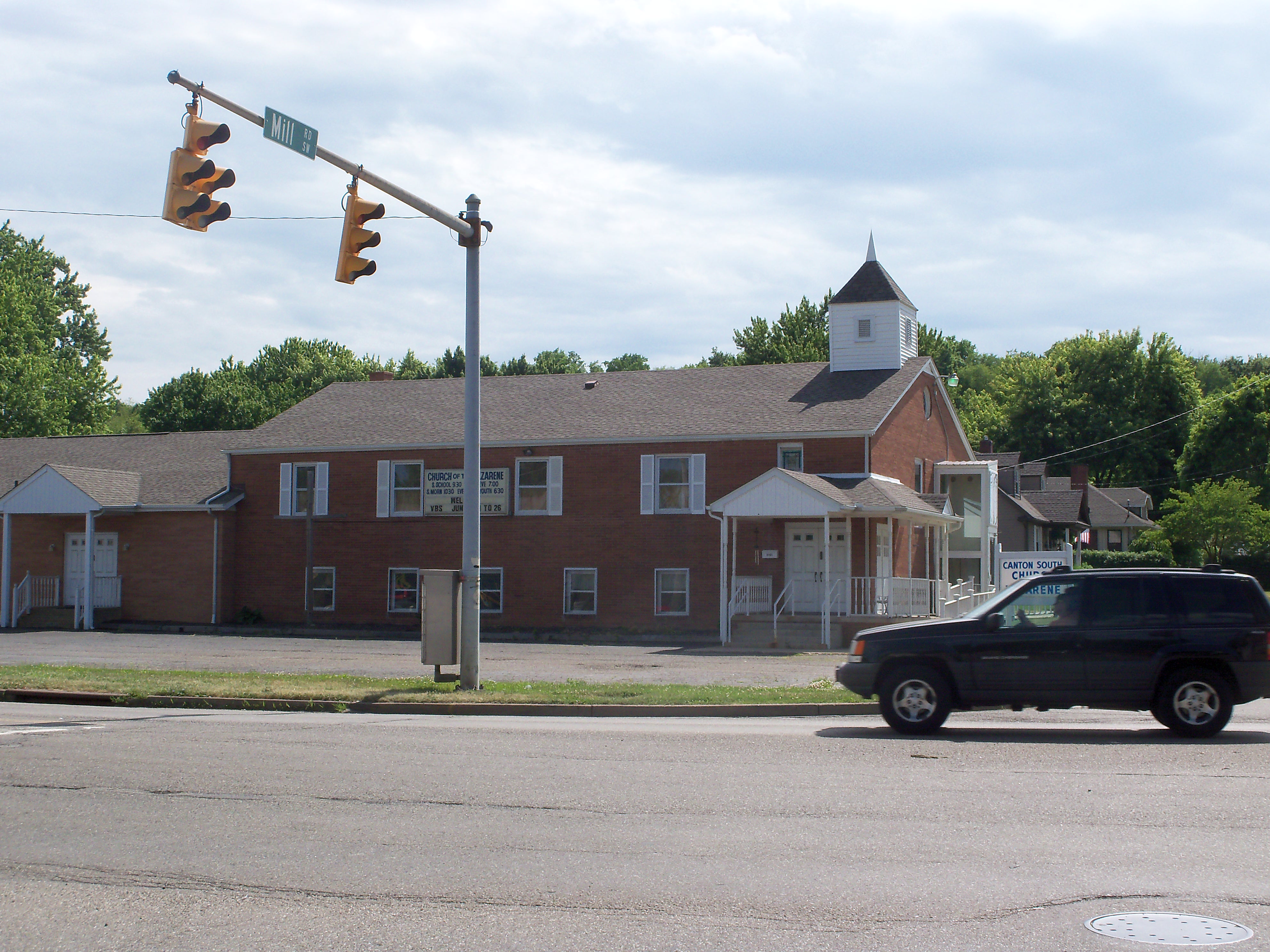
Laundries
Streets nearby
29th Street SouthwestPeking
550 ft
28th Street SouthwestIndustrial Heights, US Safety Gear, Inc.
0.1 mi
Eversole Avenue Southwest0.1 mi
South Haven ParkAdvance America, Computer Corner South
0.2 mi
Hale Avenue SouthwestYour Olde Tyme Hardware, Family Dollar
0.2 mi
Woodview Road Southwest0.2 mi
Mill Street Southeast0.2 mi
Millview Place Southwest0.2 mi
Southberry Circle Southwest0.3 mi
Mozart Circle Southwest0.3 mi
32nd Street Southwest0.3 mi
Mill Street SouthwestCanton South Church of the Nazarene
0.3 mi
Ironwood Street Southwest0.3 mi
Cleveland Avenue SouthwestSpeedway, Marathon
0.3 mi
26th Street Southwest0.3 mi
Strauss Lane Road Southwest0.3 mi
Donald Place Southwest0.3 mi
Allen Avenue Southeast0.4 mi
Park Access0.4 mi
25th Street Southwest0.4 mi
Auto parts stores nearby
Advance Auto Parts0.3 mi
Banks nearby
KeyBank0.1 mi
Citizens Bank0.2 mi
Buildings nearby
Stark County Coroner0.1 mi
Nationwide Insurance Mark J. Petrilli0.2 mi
Joe Fragasse State Farm Insurance Agent0.2 mi
Car dealerships nearby
Stacy Auto Sales0.4 mi
Car washes nearby
Canton South Car Wash0.3 mi
Convenience stores nearby
Speedway0.3 mi
BellStores0.3 mi
Fast food restaurants nearby
DQ Grill & Chill0.1 mi
Gionino's Pizzeria0.1 mi
McDonald's0.2 mi
Taco Bell0.3 mi
Subway0.3 mi
Arby's0.3 mi
Dunkin'0.3 mi
Parks nearby
Frank Esmont Park0.3 mi
Bauhoff Park0.3 mi
Restaurants nearby
Aunt Mary Ann Donuts Cafe0.1 mi
Italo's Pizza0.2 mi
Waffle House0.4 mi
School buildings nearby
Rebecca Stallman Southgate School0.2 mi
Self storages nearby
Canton South Self Storage0.3 mi
Sheds nearby
Salt Shed0.4 mi
Shopping malls nearby
Southgate Shopping Center550 ft
Supermarkets nearby
Save-A-Lot0.2 mi
Variety stores nearby
Dollar Tree0.2 mi
Other nearby
City of Canton0.4 mi
Public transit map Canton Township Legend
| Railway | |
| Bus | |
| Streetcar |
Bicycle map Canton Township Legend
| Bike path | |
| Bike lane on roadway | |
| Cycling allowed on bus lane | |
| Bicycle street | |
| Open to cyclists | |
| Open to cyclists, good path | |
| Cycling prohibited | |
| Cobblestone |
| Long-distance bike route | (depending on scale) | |
| Long-distance bike route |
Pedestrian map Canton Township Legend
| Path |
| Long-distance hiking trail | (depending on scale) | |
| Long-distance hiking trail | ||
| Pedestrians prohibited |