
Glenmont Drive Northwest in Hills and Dales, Ohio
Glenmont Drive Northwest in Hills and Dales is a residential street. It runs in a southeast-northwest direction starting from Dunkeith Drive Northwest and crosses Glenmont Heights and Inverness Parkway Northwest. It ends in a cul-de-sac.
- Road Type
- residential street
- Route
- southeast-northwest
Image
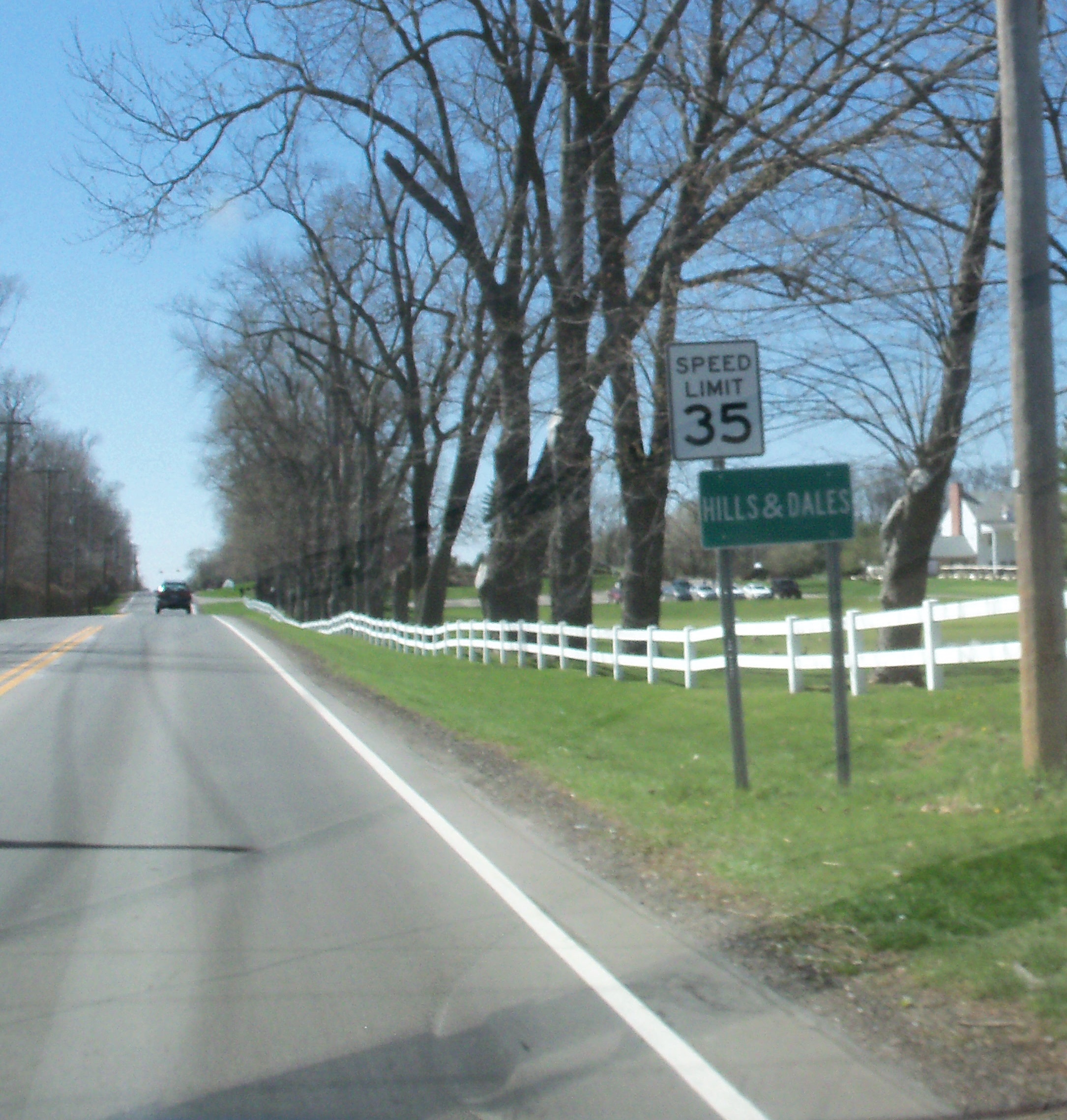
Streets nearby
Glenmont Heights450 ft
Inverness Parkway Northwest0.2 mi
Bowdale Avenue Northwest0.2 mi
Wingate Way Northwest0.2 mi
Tremont Circle Northwest0.2 mi
Greenview Circle Northwest0.2 mi
Kinlinwood Court Northwest0.2 mi
Beau Court Northwest0.2 mi
Dunkeith Drive Northwest0.2 mi
East Loop Connector Trail0.3 mi
Fairfax Court Northwest0.3 mi
Woodlawn Circle Northwest0.3 mi
Larchmoor Parkway Northwest0.3 mi
Brentwood Close Northwest0.3 mi
Williamsburg Lane Northwest0.3 mi
Foxhill Drive NorthwestHills and Dales
0.3 mi
Strathmore Drive Northwest0.4 mi
Lawndale Street Northwest0.4 mi
Hills and Dales Road NorthwestSheetz, Starbucks
0.4 mi
Brentwood Road Northwest0.4 mi
Marsh Avenue Northwest0.4 mi
Coventry Lane Northwest0.5 mi
Duncannon Avenue Northwest0.5 mi
Devonshire Road Northwest0.5 mi
Preserve Drive Northwest0.5 mi
North Loop0.5 mi
Westdale Road Northwest0.5 mi
Fitzjames Drive Northwest0.5 mi
Crosshaven Avenue Northwest0.5 mi
Charing Cross Road Northwest0.6 mi
Steeple View Drive Northwest0.6 mi
Glennenis Circle Northwest0.6 mi
Earlington Circle Northwest0.6 mi
Saint James Circle0.6 mi
Castlebar Street Northwest0.6 mi
Drumcliff Drive Northwest0.6 mi
Morgate Circle Northwest0.6 mi
Eversholt Circle Northwest0.7 mi
Spring Valley Avenue Northwest0.7 mi
Edinderry Drive Northwest0.7 mi
Birkdale Street Northwest0.7 mi
Saint Andrews St Northwest0.7 mi
Woodlawn Avenue Northwest0.7 mi
Wexford Circle Northwest0.8 mi
Buildings nearby
Stark Parks - Tam O'Shanter Clubhouse0.3 mi
Churches nearby
Woodlawn Church0.4 mi
Commercial buildings nearby
La Pizzaria Banquet Center0.4 mi
Doctor's offices nearby
Applied Behavioral Connections0.5 mi
Waters nearby
Tam O'Shanter Park Pond0.2 mi
Public transit map Hills and Dales Legend
| Railway | |
| Bus | |
| Streetcar |
Bicycle map Hills and Dales Legend
| Bike path | |
| Bike lane on roadway | |
| Cycling allowed on bus lane | |
| Bicycle street | |
| Open to cyclists | |
| Open to cyclists, good path | |
| Cycling prohibited | |
| Cobblestone |
| Long-distance bike route | (depending on scale) | |
| Long-distance bike route |
Pedestrian map Hills and Dales Legend
| Path |
| Long-distance hiking trail | (depending on scale) | |
| Long-distance hiking trail | ||
| Pedestrians prohibited |