
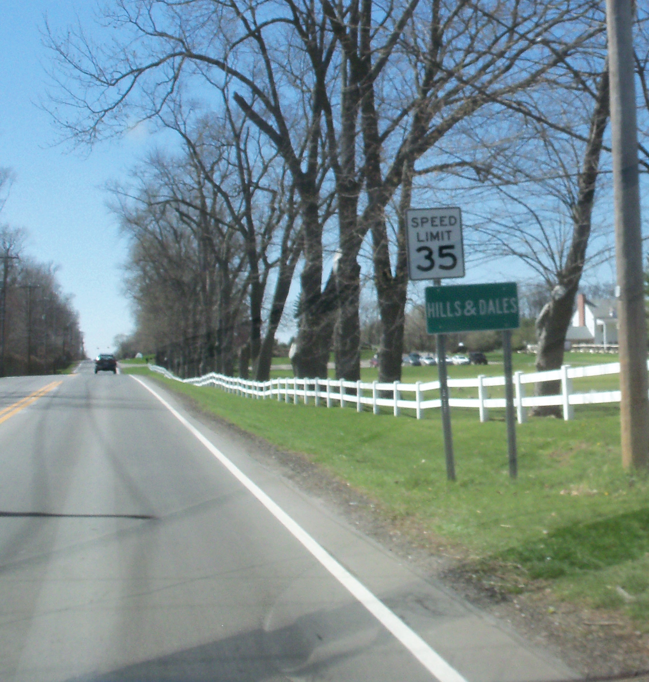
Tremont Circle Northwest in Hills and Dales, Ohio
Tremont Circle Northwest in Hills and Dales is a residential street and it runs in a north-south direction.
- Road Type
- residential street
- Route
- north-south
Image
Streets nearby
Bowdale Avenue Northwest250 ft
East Loop Connector Trail0.1 mi
Glenmont Drive Northwest0.2 mi
Hills and Dales Road NorthwestSheetz, Starbucks, Skintuition by Kelli
0.2 mi
Glenmont Heights0.2 mi
Woodlawn Avenue Northwest0.3 mi
Wingate Way Northwest0.3 mi
Beau Court Northwest0.3 mi
Inverness Parkway Northwest0.3 mi
Brentwood Close Northwest0.3 mi
Greenview Circle Northwest0.4 mi
Dunkeith Drive Northwest0.4 mi
Kinlinwood Court Northwest0.4 mi
Woodlawn Circle Northwest0.4 mi
Fairfax Court Northwest0.5 mi
Foxhill Drive NorthwestHills and Dales
0.5 mi
Coventry Lane Northwest0.5 mi
Williamsburg Lane Northwest0.5 mi
Brentwood Road Northwest0.5 mi
Larchmoor Parkway Northwest0.5 mi
Strathmore Drive Northwest0.5 mi
Montgomery Street Northwest0.5 mi
Dressler Road NorthwestHolleydale Farms & Gardens, Gina M. Jones, CNP, Jeff's Motorcars Sales & Service, Blaze Pizza, Visionworks, Starbucks, Wayback Burger, Studio Bakery, AeroCare, OneMain Financial, Miracle-Ear, The Burt Group - Morgan Stanley, Roosters Wings, Pivot Staffing, BioScrip Infusion Services, Enhanced Beauty and Academy, SG Studio 103, Artistry Permanent Makeup, Shades, MBar, Jerzee's, Henry B. Ball Jewelers, Jimmy John's, Honey Baked Ham, Finest Nails, Sport Clips, Scitrain, 3E Company, Triple Canopy Media, 11 Good Energy Inc., Debra Booher & Associates Co., LPA, Buffalo Wild Wings, Sukho Thai, Jasmine at Belden, American National University (ANU) - Stark County OH, Koyo Bearings North America, Passport Health Canton Travel Clinic, Target, CVS Pharmacy, Remenaric Cheryl
0.5 mi
Lindbergh Road Northwest0.5 mi
Lawndale Street Northwest0.5 mi
Preserve Drive Northwest0.5 mi
Charing Cross Road Northwest0.6 mi
Marsh Avenue Northwest0.6 mi
Steeple View Drive Northwest0.6 mi
Jacque Drive Northwest0.6 mi
Arbour Creek Avenue Northwest0.6 mi
Westdale Road Northwest0.6 mi
Lambert Circle Northwest0.6 mi
Blackthorne Street Northwest0.6 mi
Earlington Circle Northwest0.6 mi
Lindbergh Avenue Northwest0.6 mi
Francie Avenue Northwest0.6 mi
North Loop0.7 mi
West Loop0.7 mi
Banks nearby
Consumers National Bank0.5 mi
Stark Federal Credit Union0.6 mi
Buildings nearby
Stark Parks - Tam O'Shanter Clubhouse0.1 mi
Churches nearby
Woodlawn Church0.4 mi
Clinics nearby
Crystal Clinic Orthopaedic Center0.7 mi
Commercial buildings nearby
La Pizzaria Banquet Center0.3 mi
Doctor's offices nearby
Applied Behavioral Connections0.4 mi
Parks nearby
Kirk Schuring Park0.7 mi
Places of worship nearby
St. Stephen Martyr Lutheran Church0.7 mi
Waters nearby
Tam O'Shanter Park Pond300 ft
Public transit map Hills and Dales Legend
| Railway | |
| Bus | |
| Streetcar |
Bicycle map Hills and Dales Legend
| Bike path | |
| Bike lane on roadway | |
| Cycling allowed on bus lane | |
| Bicycle street | |
| Open to cyclists | |
| Open to cyclists, good path | |
| Cycling prohibited | |
| Cobblestone |
| Long-distance bike route | (depending on scale) | |
| Long-distance bike route |
Pedestrian map Hills and Dales Legend
| Path |
| Long-distance hiking trail | (depending on scale) | |
| Long-distance hiking trail | ||
| Pedestrians prohibited |