
Sandy Valley Trail in Waynesburg, Ohio
Sandy Valley Trail in Waynesburg is a concrete path. The trail is a hiking trail. The marking of the trail is excellent. It runs in a northeast-southwest direction starting from West Street and crosses Mill Street, North Main Street and Canal Street. It ends in a cul-de-sac.
- Road Type
- path
- Route
- northeast-southwest
Image
Streets nearby
North Main Street200 ft
Canal Street400 ft
Boory Place400 ft
Spring Valley Lane0.1 mi
South Spring Street0.1 mi
Mill Street0.1 mi
Market Street0.1 mi
Grant Street0.2 mi
East Silver Street0.2 mi
South Main Street0.2 mi
South Market Street0.2 mi
West Street0.2 mi
East Lisbon Street0.2 mi
West Silver Street0.2 mi
Longo Street0.2 mi
Hillside Lane0.2 mi
Maple Street Trail Head0.3 mi
Silver Street0.3 mi
Meadow Brook Parkway0.4 mi
Amenities nearby
Tri-County Martial Arts0.1 mi
Auto parts stores nearby
Rocky's Auto Parts0.1 mi
Auto repair shops nearby
Waynesburg Collision Center0.1 mi
Banks nearby
KeyBank450 ft
Bars nearby
Hooch's Bar0.1 mi
Shenanigans0.1 mi
American Legion Post #4320.2 mi
Buildings nearby
Terrastar0.1 mi
Nationwide0.1 mi
Wagner Brake Products0.2 mi
Car dealerships nearby
Waynesburg Carriage Company450 ft
PJ's Auto Sales0.1 mi
Cemeteries nearby
Old Pioneer Cemetery350 ft
Convenience stores nearby
Gulf250 ft
Hair salons nearby
Rachael Hair Creations0.1 mi
Industrial buildings nearby
Ace Assembly and Packaging450 ft
Parks nearby
Maple Street Park500 ft
Zwick Memorial Park0.1 mi
Places of worship nearby
Macedonia Baptist Church0.2 mi
Waynesburg First United Presbyterian Church0.2 mi
Waynesburg United Methodist Church0.2 mi
Living Water Fellowship0.5 mi
Post offices nearby
Waynesburg Post Office0.1 mi
Restaurants nearby
Jukebox Pizza250 ft
Italian American Club0.1 mi
Waynesburg Grill0.1 mi
West End Pizza0.1 mi
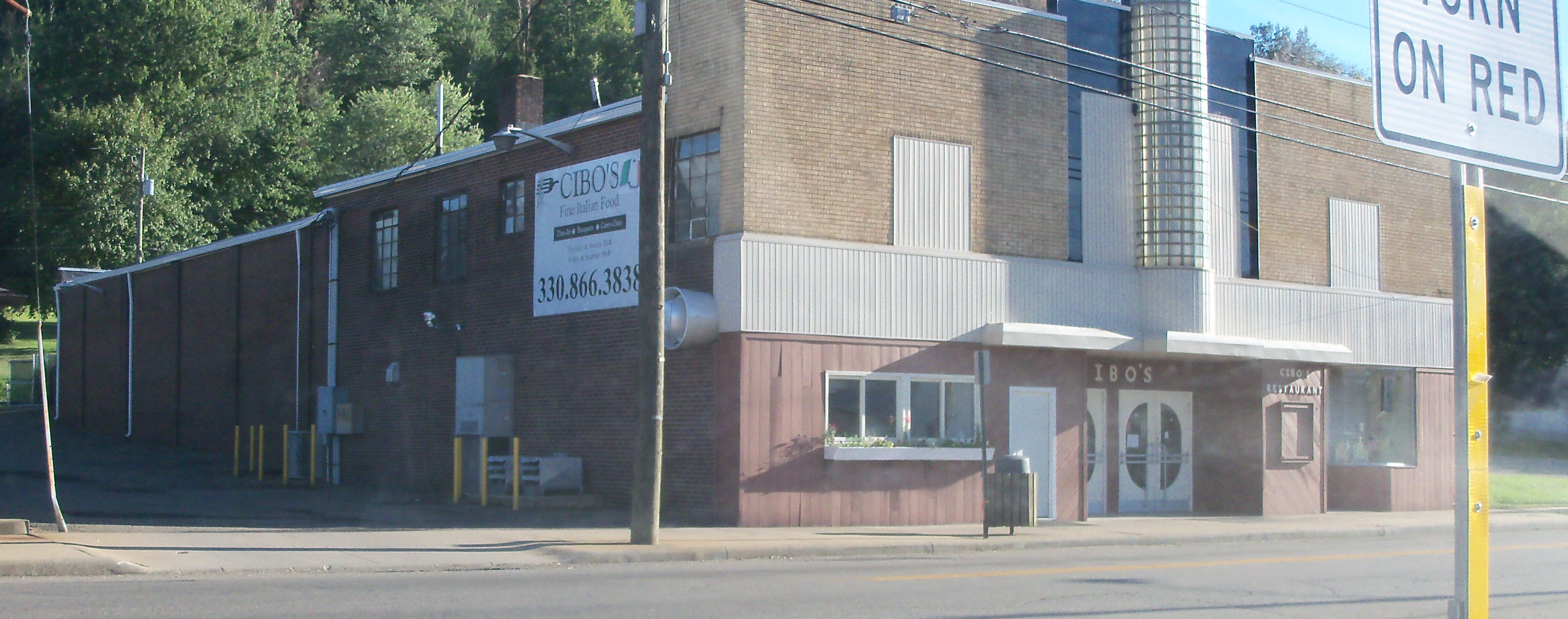
Cibos0.1 mi
Retail buildings nearby
Davys500 ft
Tobacco shops nearby
Davey's Tobacco400 ft
Public transit map Waynesburg Legend
| Railway | |
| Bus | |
| Streetcar |
Bicycle map Waynesburg Legend
| Bike path | |
| Bike lane on roadway | |
| Cycling allowed on bus lane | |
| Bicycle street | |
| Open to cyclists | |
| Open to cyclists, good path | |
| Cycling prohibited | |
| Cobblestone |
| Long-distance bike route | (depending on scale) | |
| Long-distance bike route |
Pedestrian map Waynesburg Legend
| Path |
| Long-distance hiking trail | (depending on scale) | |
| Long-distance hiking trail | ||
| Pedestrians prohibited |