
West Lisbon Street in Waynesburg, Ohio
West Lisbon Street in Waynesburg is a secondary road (Road number SR 183). It runs in an east-west direction and crosses Hemlock Avenue, Fredrick Street, Niles Avenue, North McKinley Avenue, South McKinley Avenue, Roosevelt Avenue, Wilson Avenue, West Street, Mill Street, North Main Street and South Spring Street and ends at East Lisbon Street, while the other end is a cul-de-sac. This street is part of the highway "183" as well as the Bicycle route "US:OH 62".
- Road Type
- secondary road
- Speed Limit
- 35 mph
- Route
- east-west
Image
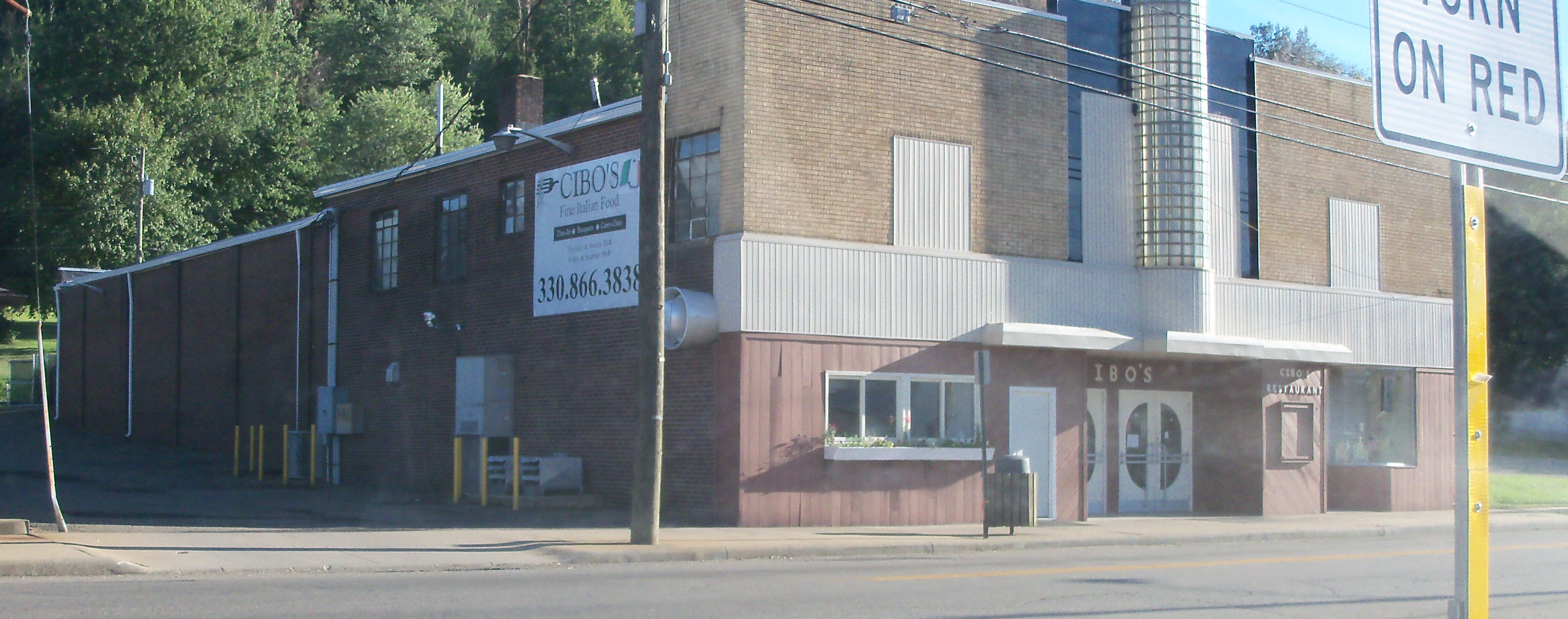
Fast food restaurants
Streets nearby
Shane Avenue450 ft
South McKinley Avenue0.1 mi
North McKinley Avenue0.1 mi
West Silver Street0.1 mi
Wilson Avenue0.2 mi
Park Street0.2 mi
West Street0.2 mi
Niles Avenue0.2 mi
Roosevelt Avenue0.2 mi
Grant Street0.2 mi
James Street0.2 mi
Mill Street0.3 mi
Canal Street0.3 mi
South Spring Street0.3 mi
South Main Street0.3 mi
Canton Road0.4 mi
North Main Street0.4 mi
Boory Place0.4 mi
East Silver Street0.4 mi
Amenities nearby
Tri-County Martial Arts0.4 mi
Auto parts stores nearby
Rocky's Auto Parts0.4 mi
Auto repair shops nearby
Waynesburg Collision Center0.3 mi
Banks nearby
KeyBank0.3 mi
Bars nearby
Shenanigans0.3 mi
Hooch's Bar0.4 mi
Buildings nearby
Terrastar0.3 mi
Nationwide0.3 mi
Rocky's Fuel0.4 mi
Car dealerships nearby
Waynesburg Carriage Company0.3 mi
PJ's Auto Sales0.4 mi
Cemeteries nearby
Old Pioneer Cemetery0.4 mi
Convenience stores nearby
Gulf0.3 mi
Rocky's Convience Store0.4 mi
Hair salons nearby
Rachael Hair Creations0.4 mi
Industrial buildings nearby
Ace Assembly and Packaging0.3 mi
Parks nearby
Waynesburg Mohawk Community Park0.1 mi
Waynesburg Park0.2 mi
Zwick Memorial Park0.3 mi
Places of worship nearby
St Paul Lutheran Church500 ft
St James Church0.2 mi
Waynesburg United Methodist Church0.4 mi
Restaurants nearby
Cibos0.3 mi
West End Pizza0.3 mi
Jukebox Pizza0.4 mi
Fuppys0.4 mi
Waynesburg Grill0.4 mi
Retail buildings nearby
Davys0.3 mi
Sports fields nearby
Rosevelt Baseball Diamond0.2 mi
Tobacco shops nearby
Davey's Tobacco0.3 mi
Public transit map Waynesburg Legend
| Railway | |
| Bus | |
| Streetcar |
Bicycle map Waynesburg Legend
| Bike path | |
| Bike lane on roadway | |
| Cycling allowed on bus lane | |
| Bicycle street | |
| Open to cyclists | |
| Open to cyclists, good path | |
| Cycling prohibited | |
| Cobblestone |
| Long-distance bike route | (depending on scale) | |
| Long-distance bike route |
Pedestrian map Waynesburg Legend
| Path |
| Long-distance hiking trail | (depending on scale) | |
| Long-distance hiking trail | ||
| Pedestrians prohibited |