
Pharmacy Drive Through in Howland Township, Ohio
Pharmacy Drive Through in Howland Township is a service road. It runs as a one-way street in a north-south direction and ends in a cul-de-sac.
- Road Type
- service road
- Route
- east-west
Image
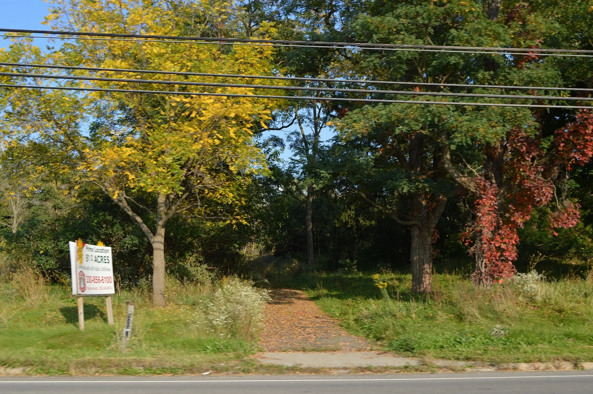
Massage therapy clinics
Photo booths
Restaurants
Beauty salons
Clothing stores
Shopping malls
Jewelry stores
Gas stations
Cosmetics stores
Perfume shops
Tire dealers
Pet stores
Cell phone stores
Cafes
Vending machines
Opticians
Banks
Auto parts stores
Party supply stores
Car dealerships
Streets nearby
Shaker Boulevard Southeast0.2 mi
Eastwood Mall Boulevard0.2 mi
Great East Plaza SoutheastEyemart Express
0.3 mi
Boulevard Centre0.3 mi
Park Lane0.3 mi
Dawson Drive Southeast0.3 mi
Shops nearby
Sally Beauty0.1 mi
CosmoProf0.2 mi
Arcades nearby
Chuck E. Cheese0.1 mi
Dave & Buster's0.3 mi
Banks nearby
WesBanco0.1 mi
Cafes nearby
Mudslingers of Niles0.2 mi
Clothing stores nearby
Catherines0.1 mi
Carter's0.1 mi
Once Upon a Child0.2 mi
Plato's Closet0.2 mi
Collector shops nearby
Coin & Jewelry Buyers0.2 mi
Commercial areas nearby
North Commons0.2 mi
Eastwood Mall0.2 mi
Commercial buildings nearby
Ford Office Technologies0.2 mi
Convenience stores nearby
Meijer Express0.2 mi
Craft stores nearby
Michaels550 ft
Hobby Lobby0.2 mi
Dentist's offices nearby
Very Orthodontist0.2 mi
Department stores nearby
Big Lots0.1 mi
TJ Maxx0.1 mi
Burlington0.2 mi
Kohl's0.2 mi
Fast food restaurants nearby
Steak 'n Shake0.1 mi
Fireworks stores nearby
Phantom Fireworks350 ft
Fitness centers nearby
Onyx 24/7 Fitness0.3 mi
Planet Fitness0.3 mi
Hair salons nearby
Cost Cutters0.1 mi
Hardware stores nearby
The Home Depot0.1 mi
Hotels nearby
Fairfield Inn & Suites0.2 mi
Hampton Inn & Suites0.3 mi
Residence Inn0.3 mi
Housewares stores nearby
At Home0.1 mi
Movie theaters nearby
Encore Cinema 60.1 mi
Regal Cinemas0.3 mi
Office buildings nearby
Eastwood Office Centre0.3 mi
Opticians nearby
Eyemart Express0.3 mi
Pet stores nearby
Pet Supplies Plus0.2 mi
Restaurants nearby
Outback Steakhouse0.1 mi
Buffalo Wild Wings0.1 mi
King Cajun Seafood and Bar0.2 mi
Supermarkets nearby
Meijer100 ft
Trampoline parks nearby
Extreme Air Trampoline Park0.2 mi
University buildings nearby
Ross Medical Education0.3 mi
 Public transit map Howland Township Legend
| Railway | |
| Bus | |
| Streetcar |
 Bicycle map Howland Township Legend
| Bike path | |
| Bike lane on roadway | |
| Cycling allowed on bus lane | |
| Bicycle street | |
| Open to cyclists | |
| Open to cyclists, good path | |
| Cycling prohibited | |
| Cobblestone |
| Long-distance bike route | (depending on scale) | |
| Long-distance bike route |
 Pedestrian map Howland Township Legend
| Path |
| Long-distance hiking trail | (depending on scale) | |
| Long-distance hiking trail | ||
| Pedestrians prohibited |