
Park Avenue in Girard
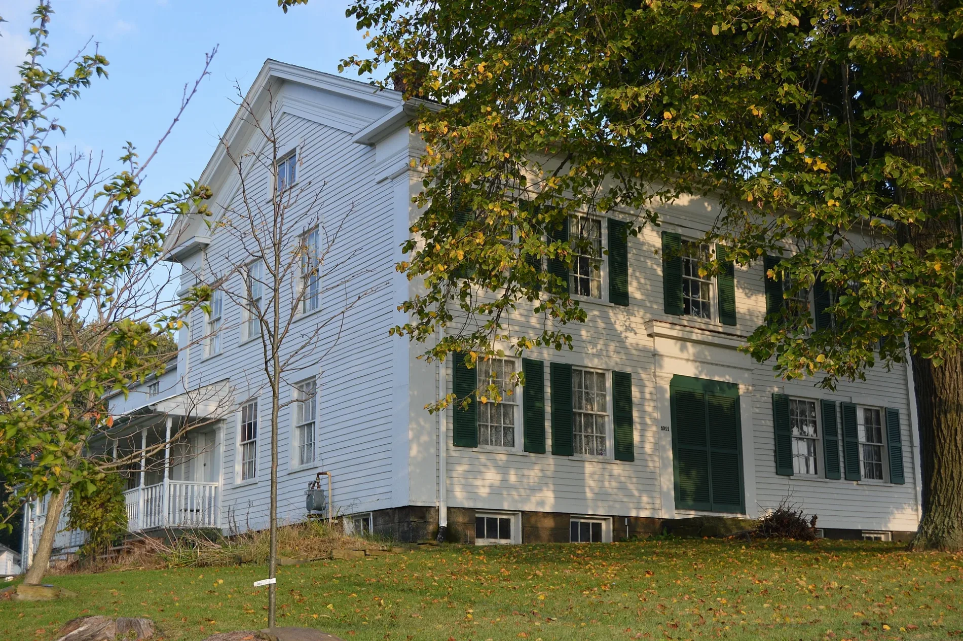
Park Avenue in Girard is a residential street. It runs in an east-west direction starting from Smithsonian Street and crosses North Avenue, Tod Avenue Southeast, Washington Avenue Southeast, Lawrence Avenue Southeast, Krehl Avenue Southeast, Lincoln Avenue Southeast, North Ward Avenue and Gary Avenue Southeast. It ends in a cul-de-sac. Park Avenue also exists in Newton Township.
- Road Type
- residential street
- Route
- east-west
Image
Gas stations
Beauty salons
Libraries
Charging stations
Places of worship
Pubs
Schools
Variety stores
Fast food restaurants
Restaurants
Streets nearby
Chippewa Court0.2 mi
Tod Avenue Southeast0.2 mi
Washington Avenue Southeast0.2 mi
Browns Court0.2 mi
Seneca Drive0.3 mi
Smith Court0.3 mi
Gordon Street0.3 mi
Smithsonian Street0.3 mi
Townsend Avenue Southeast0.3 mi
Squaw Creek Drive0.3 mi
Pawnee Lane0.3 mi
Pawnee Court0.3 mi
Cherokee Drive0.4 mi
Harry Street SoutheastFamily Dollar
0.4 mi
North Avenue0.4 mi
Stambaugh Street Southeast0.4 mi
Olive Street Southeast0.4 mi
Moccasin Trail0.4 mi
Girard Avenue Southeast0.4 mi
Krehl Avenue Southeast0.4 mi
Pittsburgh Avenue Southeast0.4 mi
Sioux Trail0.4 mi
Lawrence Avenue SoutheastFirst Assembly of God Church, Our Lady of Sorrows Church
0.5 mi
Hopewell Drive0.5 mi
Hillside Drive0.5 mi
Lincoln Avenue Southeast0.5 mi
Ella Street0.5 mi
Hazel StreetSubway, Tropitan Tanning
0.5 mi
North State StreetGirard, El Hefe
0.5 mi
Steel Avenue Southeast0.5 mi
Gary Avenue Southeast0.5 mi
Dot Street Southeast0.5 mi
Rush Avenue Southeast0.5 mi
Stull Avenue0.5 mi
Avon Avenue0.5 mi
Navajo Trail0.6 mi
North Highland Avenue0.6 mi
Cherry0.6 mi
Hartzell Street0.6 mi
Powers Avenue Southeast0.6 mi
Side Walk0.6 mi
Commerce Avenue0.6 mi
Arcades nearby
Past Times Pinball & Video Arcade0.6 mi
Buildings nearby
Margherita's Grille0.4 mi
Western Reserve Centre0.5 mi
Girard High School0.5 mi
Cemeteries nearby
Girard Liberty Union Cemetery0.2 mi
Parks nearby
David Tod Memorial Park500 ft
Railways nearby
Lordstown Secondary0.4 mi
Public transit map Girard Legend
| Railway | |
| Bus | |
| Streetcar |
Bicycle map Girard Legend
| Bike path | |
| Bike lane on roadway | |
| Cycling allowed on bus lane | |
| Bicycle street | |
| Open to cyclists | |
| Open to cyclists, good path | |
| Cycling prohibited | |
| Cobblestone |
| Long-distance bike route | (depending on scale) | |
| Long-distance bike route |
Pedestrian map Girard Legend
| Path |
| Long-distance hiking trail | (depending on scale) | |
| Long-distance hiking trail | ||
| Pedestrians prohibited |