
West Indian Street in Clay Township, Tuscarawas County, Ohio
West Indian Street in Tuscarawas County is a residential street. It runs in a northeast-southwest direction starting from Indian Street and crosses South Walnut Street and South Moravian Avenue and ends at South Cherry Street. This street is part of the Bicycle route "US:OH 77".
- Road Type
- residential street
- Route
- northeast-southwest
Image
Cafes
Places of worship
Post offices
Streets nearby
South Moravian Avenue300 ft
Fetter LaneGnadenhutten, Gnadenhutten Moravian Church
450 ft
South Hazel Drive0.1 mi
East Indian Street0.1 mi
South Cherry Street0.1 mi
East Fetter Lane0.1 mi
Hazel Drive South0.1 mi
West Main Street0.2 mi
South Chestnut Street0.2 mi
Chestnut Street South0.2 mi
Chestnut Street0.2 mi
Plum AlleyGnadenhutten Post Office, Church of Christ
0.2 mi
South Plum Street0.2 mi
North Cherry Street0.2 mi
Tuscarawas Avenue0.2 mi
Fetter Lane East0.2 mi
Plum Street South0.3 mi
North Chestnut StreetMarathon
0.3 mi
Spring Street West0.3 mi
South Oak Street0.3 mi
Indian Street0.3 mi
Plum Street North0.3 mi
Unger Street West0.3 mi
Logan Street East0.3 mi
Hazel Drive North0.3 mi
West Mill Street0.3 mi
Mill Street West0.3 mi
North Walnut StreetTents of Grace Cafe
0.3 mi
Mill Street0.4 mi
East Main Street0.4 mi
Moravian Avenue0.4 mi
Southern Gateway0.4 mi
North Plum Street0.4 mi
South Walnut StreetIndian Valley High School
0.4 mi
Anaconda Drive0.4 mi
Elm Street North0.4 mi
Hazel Drive0.4 mi
Logan StreetGnadenhutten United Methodist Church
0.4 mi
Tuscarawas Avenue East0.4 mi
Huebner Avenue0.4 mi
Maple Street East0.5 mi
Grant Street0.5 mi
Gibson Street East0.5 mi
North Elm Street0.5 mi
Grove Avenue0.5 mi
Elm Street0.5 mi
Cemeteries nearby
Gnadenhutten Historic Cemetery0.2 mi
Parks nearby
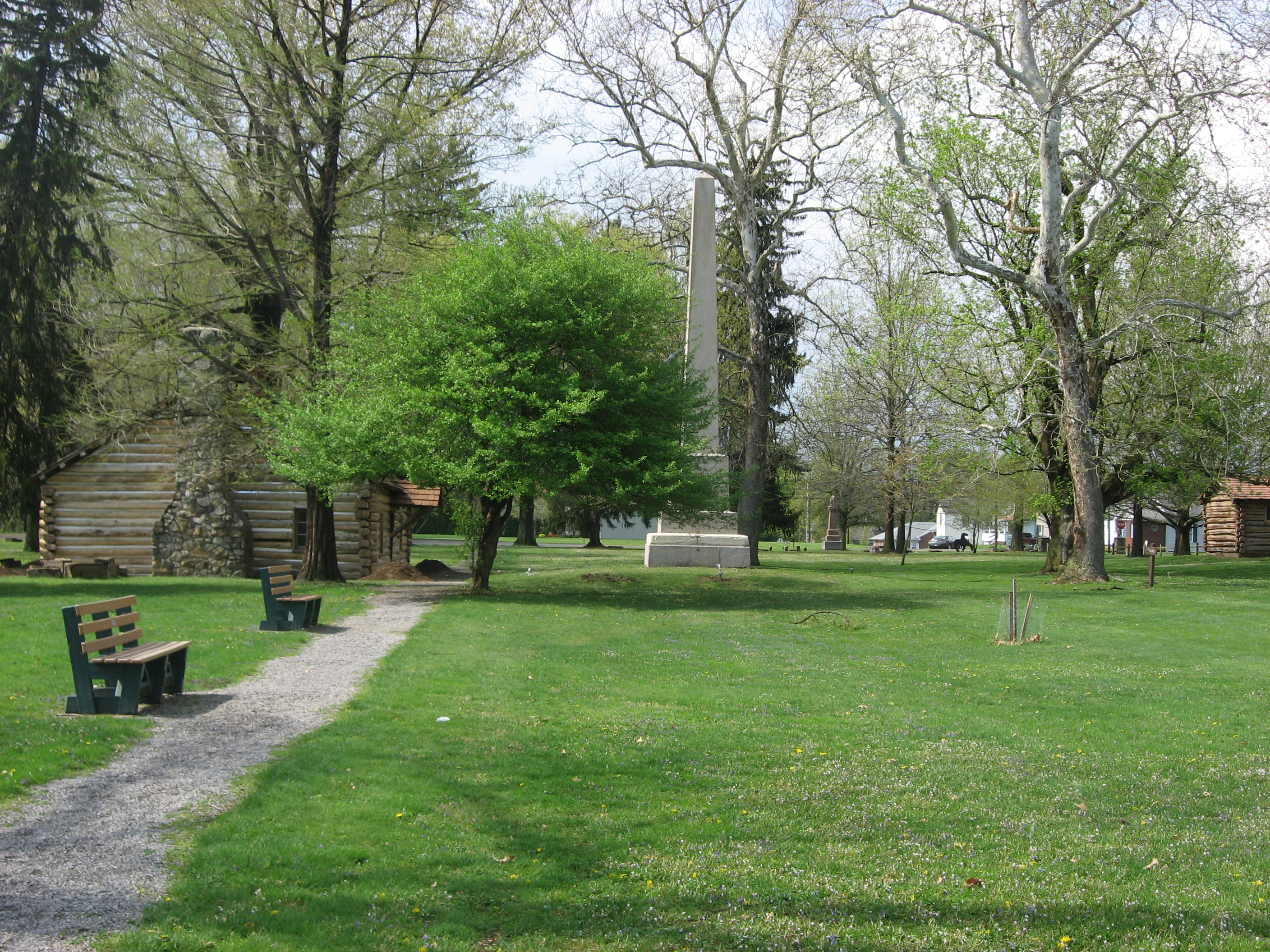
Gnadenhutten Historical Park0.2 mi
Alsco Fields Park0.3 mi
Public transit map Clay Township Legend
| Railway | |
| Bus | |
| Streetcar |
Bicycle map Clay Township Legend
| Bike path | |
| Bike lane on roadway | |
| Cycling allowed on bus lane | |
| Bicycle street | |
| Open to cyclists | |
| Open to cyclists, good path | |
| Cycling prohibited | |
| Cobblestone |
| Long-distance bike route | (depending on scale) | |
| Long-distance bike route |
Pedestrian map Clay Township Legend
| Path |
| Long-distance hiking trail | (depending on scale) | |
| Long-distance hiking trail | ||
| Pedestrians prohibited |