
South McKinley Avenue in Dover, Ohio
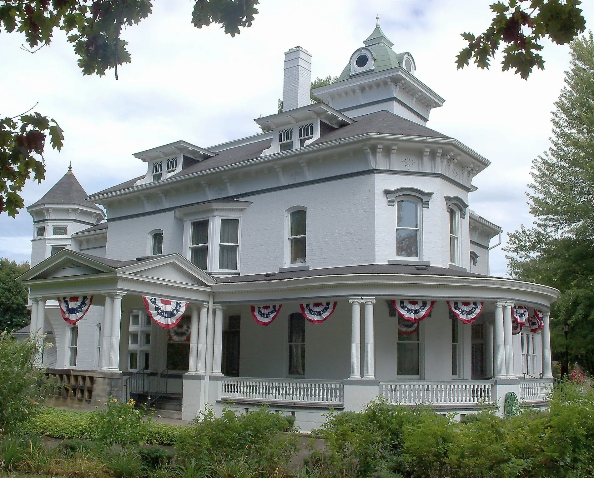
South McKinley Avenue in Dover is a residential street. It runs in a north-south direction starting from North McKinley Avenue and crosses Boulevard Street, East Iron Avenue, East Shafer Avenue and East Wills Avenue. It ends in a cul-de-sac. South McKinley Avenue also exists in Fairfield County and Stark County.
- Road Type
- residential street
- Route
- north-south
Image
Shoe stores
Furniture stores
Supermarkets
Pharmacies
Gas stations
Schools
Beverage stores
Places of worship
Restaurants
Convenience stores
Post offices
Variety stores
Banks
Car washes
Town halls
Marketplaces
Streets nearby
East Shafer Avenue350 ft
Monroe Avenue0.1 mi
South James Street0.1 mi
North McKinley Avenue0.2 mi
Madison Avenue0.2 mi
Bond Street0.2 mi
South Reeves Avenue0.2 mi
Hospital Drive0.2 mi
East Wills Avenue0.2 mi
North James Street0.2 mi
North Bellevue Avenue0.2 mi
South Bellevue Avenue0.2 mi
Grant Street0.3 mi
Boat Street0.3 mi
Perry Drive0.3 mi
Boulevard Street0.3 mi
Superior Street0.3 mi
Liberty Street0.3 mi
Emerson Avenue0.3 mi
East Iron Avenue0.3 mi
Anola AvenueMcDonald's
0.3 mi
Prospect Street0.4 mi
New Dawn Circle0.4 mi
Filmore Avenue0.4 mi
Chauncey Avenue Northwest0.4 mi
Terrace Street0.4 mi
James Street NorthwestRainbow, Aaron's
0.4 mi
Oakmont Drive0.4 mi
Pinehurst Drive0.4 mi
Bellevue Drive0.4 mi
4th Street NorthwestValvoline, Granato's Pizza, Enterprise, Papa John's
0.4 mi
Union Avenue0.4 mi
Mr15389 Alley0.5 mi
Monroe Street Northwest0.5 mi
5th Drive Northwest0.5 mi
5th Street NorthwestUnited Holy Church of Christ
0.5 mi
Rear Main Street0.5 mi
Clubside Drive Northwest0.5 mi
Main Street0.5 mi
West Iron Avenue0.5 mi
Clubview Drive0.6 mi
Buildings nearby
Club House0.5 mi
Fast food restaurants nearby
Wendy's0.4 mi
Domino's0.5 mi
Golf courses nearby
Union Country Club0.3 mi
School buildings nearby
South Elementary School0.3 mi
Sports centers nearby
YMCA0.3 mi
Other nearby
Union Hospital Heliport0.3 mi
Greer Substation0.6 mi
Public transit map Dover Legend
| Railway | |
| Bus | |
| Streetcar |
Bicycle map Dover Legend
| Bike path | |
| Bike lane on roadway | |
| Cycling allowed on bus lane | |
| Bicycle street | |
| Open to cyclists | |
| Open to cyclists, good path | |
| Cycling prohibited | |
| Cobblestone |
| Long-distance bike route | (depending on scale) | |
| Long-distance bike route |
Pedestrian map Dover Legend
| Path |
| Long-distance hiking trail | (depending on scale) | |
| Long-distance hiking trail | ||
| Pedestrians prohibited |