
Fairfield Township, Tuscarawas County, Ohio
Fairfield Township is located in Tuscarawas County. About 1,509 people live here (as of 2020). Between 2010 and 2020, the population grew from 1,505 to 1,509. The region is at 330 meters above sea level. There are about 106 streets in Fairfield Township. Fairfield Township is township in Tuscarawas County, Ohio.
Fairfield Township – Facts
| Population | 1509 |
|---|---|
| Area | 22.1 |
| Elevation | 330 m |
| Located in | Tuscarawas County |
| Country | United States |
Data source: Wikidata (CC0)
Photos from Fairfield Township
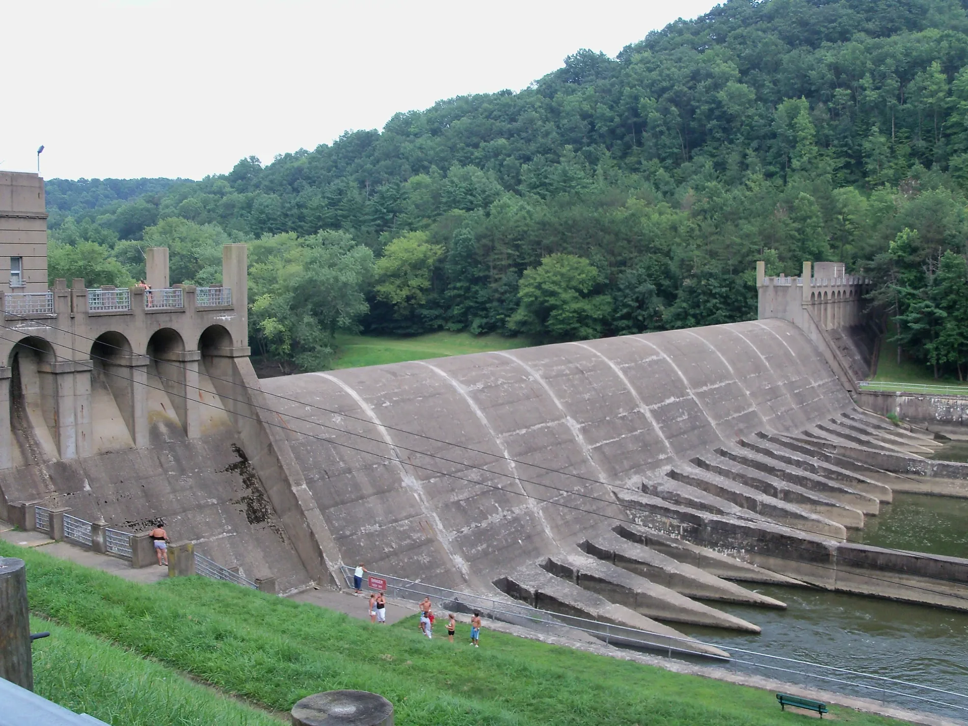
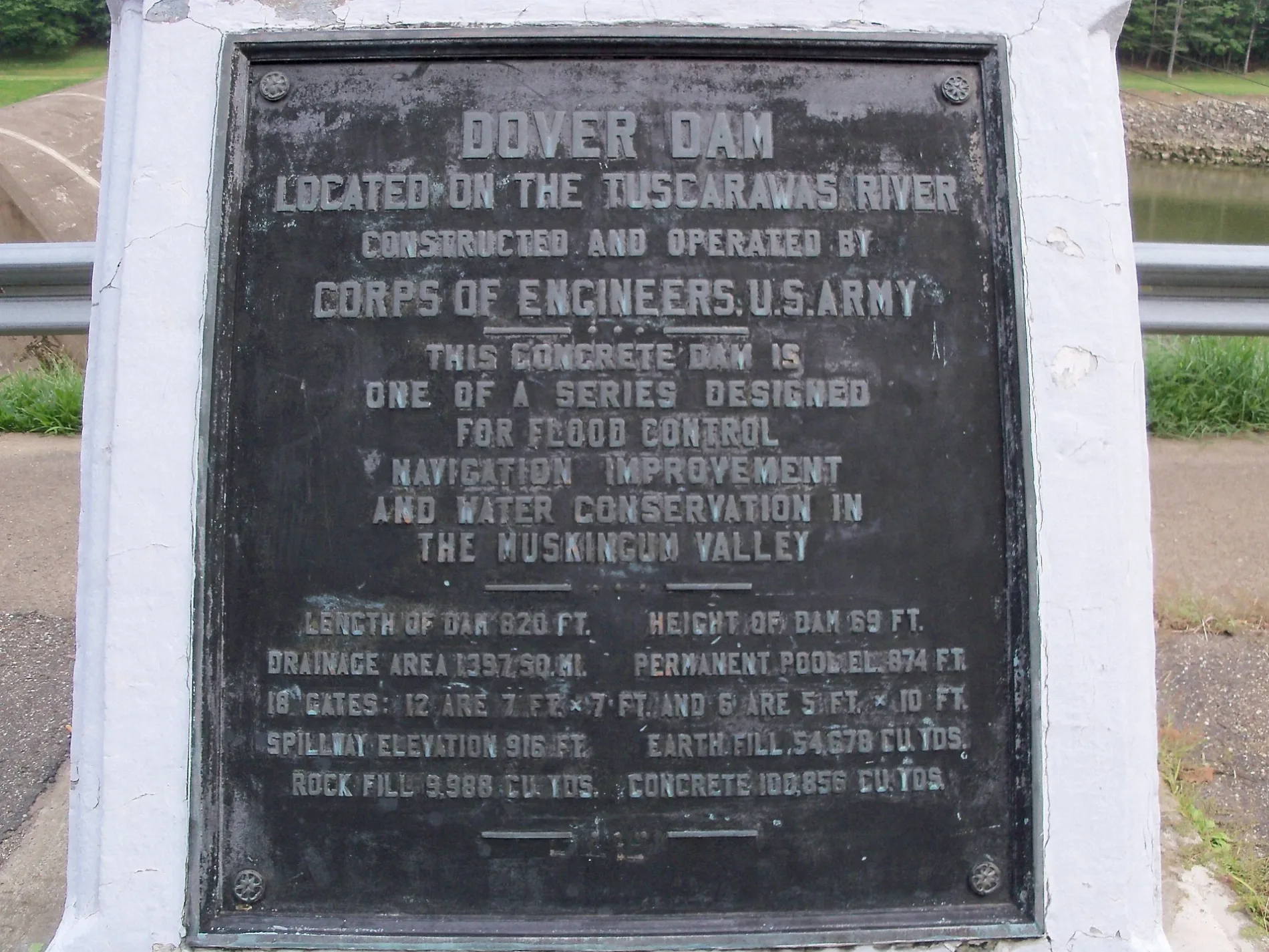
Streets in Fairfield Township, Tuscarawas County, Ohio
Streets
Roemer Drive Northeast
South Street
Firehouse Street Northeast
Township Highway 232
Tall Timber Road Northeast
Johnstown Road Northeast
Johnstown
Brown Hill Road
Waltz Road Northeast
Ramp Road Northeast
Polen Road
Shepherd Road Northeast
Bissel Church Road NortheastBisel United Methodist Church
New England Road Northeast
Firehouse Street
Holmes Church Road
Sunset Drive Northeast
East Street Northeast
Riggle Hill Road
Fox
2nd Street
Kelaney Drive Northeast
Egypt Road
Sub Station Road Northeast
3rd
Mount Pleasant Road NortheastZoarville Cemetery
Maher Road
Fairfield Road
Township Highway 475
Golfview Drive Northeast
Riggle Hill Road Northeast
Dog Run Road
Somerdale Road Northeast
1st Street NortheastSomerdale
Boy Scout Road NortheastRiver Crest Farm
Herron Alley
Gintz Road Northeast
Henderson School Road Northeast
Old Zoarville Road Northeast
Boone Road Northeast
Ault Road Northeast
Tabor Ridge Road NortheastMount Tabor, Saint Matthews Church
4th Street
Zoar Valley Trail
Icky'sTurtle, Three Legs, One Leg, New Prophetstown
PipestonePioneer Point
Boys Scout Road
Overlook
Rattlesnake
Dessecker Loop
Buckeye Trail
Upper Eagle
Preserve Connector
Zoarite MineBuzzards Roost
Tunnel
Icky's Hike
Big Tulip
Reclaim
Pioneer Point
Roost TrailBuildings
Dams
Golf courses
Railways
Rivers
Streams
Waters
 Public transit map Fairfield Township Legend
| Railway | |
| Bus | |
| Streetcar |
 Bicycle map Fairfield Township Legend
| Bike path | |
| Bike lane on roadway | |
| Cycling allowed on bus lane | |
| Bicycle street | |
| Open to cyclists | |
| Open to cyclists, good path | |
| Cycling prohibited | |
| Cobblestone |
| Long-distance bike route | (depending on scale) | |
| Long-distance bike route |
 Pedestrian map Fairfield Township Legend
| Path |
| Long-distance hiking trail | (depending on scale) | |
| Long-distance hiking trail | ||
| Pedestrians prohibited |