
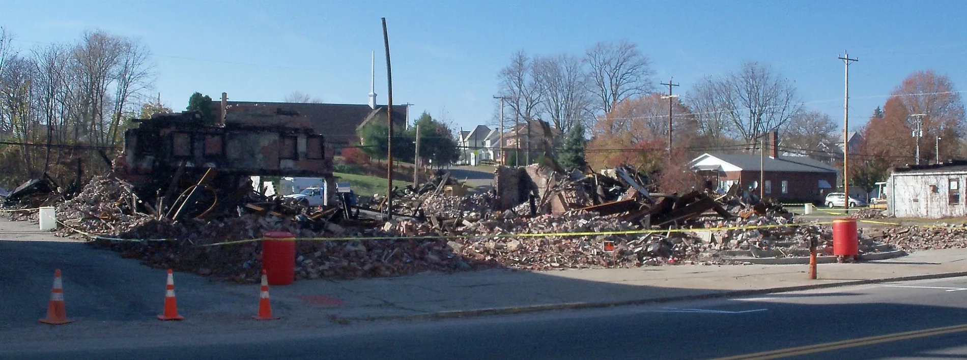
2nd Street Northwest in Strasburg, Ohio
2nd Street Northwest in Strasburg is a residential street. It runs in an east-west direction starting from North Bodmer Avenue and crosses Margo Drive, North Kapitzky Drive and North Wooster Avenue and ends at 2nd Street Northeast. 2nd Street Northwest also exists in Sugar Creek Township.
- Road Type
- residential street
- Route
- east-west
Image
Gas stations
Places of worship
Convenience stores
Streets nearby
Margo DriveStrasburg United Methodist Church
350 ft
North Bodmer Avenue450 ft
North Kapitzky Drive500 ft
3rd Street Northwest500 ft
West 1st Street500 ft
2nd Street Northeast0.1 mi
3rd Street Northeast0.1 mi
South Kapitsy Drive0.1 mi
School Bus Loop0.2 mi
Stoutt Drive NortheastCircle K
0.2 mi
1st Street East0.2 mi
4th Street Northwest0.2 mi
2nd Street Southwest0.2 mi
Railroad Avenue Northeast0.2 mi
4th Street Northeast0.2 mi
3rd Street SouthwestStrasburg
0.2 mi
2nd Street Southeast0.2 mi
Kapitzky DriveSaint John United Church of Christ
0.2 mi
Weber Avenue Southwest0.2 mi
Stoutt Drive Southeast0.2 mi
Railroad Avenue Southeast0.3 mi
5th Street Northwest0.3 mi
Railroad Avenue0.3 mi
4th Street Southwest0.3 mi
5th Street Northeast0.3 mi
6th Street Northwest0.3 mi
4th Street Southeast0.3 mi
Loeffler Drive0.3 mi
6th Street Northeast0.3 mi
Oak Avenue Northwest0.4 mi
Kapitsy Drive Southwest0.4 mi
5th Street Southwest0.4 mi
5th Street Southeast0.4 mi
Maple Avenue Northwest0.4 mi
North Wooster AvenueCircle K, Sunoco
0.4 mi
Quinter Avenue0.4 mi
7th Street Northeast0.4 mi
Amanda Avenue0.5 mi
7th Street Northwest0.5 mi
Quinter Avenue Northwest0.5 mi
Lincoln Drive Northeast0.5 mi
Stoutt Drive0.6 mi
8th Street Northeast0.6 mi
Cemeteries nearby
Grandview Cemetery0.3 mi
Saint Aloysius Cemetery0.4 mi
Hotels nearby
Ramada Strasburg Dover0.4 mi
Railways nearby
Cleveland Line0.2 mi
School buildings nearby
Strasburg-Franklin Elementary School0.1 mi
Strasburg High School0.2 mi
Public transit map Strasburg Legend
| Railway | |
| Bus | |
| Streetcar |
Bicycle map Strasburg Legend
| Bike path | |
| Bike lane on roadway | |
| Cycling allowed on bus lane | |
| Bicycle street | |
| Open to cyclists | |
| Open to cyclists, good path | |
| Cycling prohibited | |
| Cobblestone |
| Long-distance bike route | (depending on scale) | |
| Long-distance bike route |
Pedestrian map Strasburg Legend
| Path |
| Long-distance hiking trail | (depending on scale) | |
| Long-distance hiking trail | ||
| Pedestrians prohibited |