
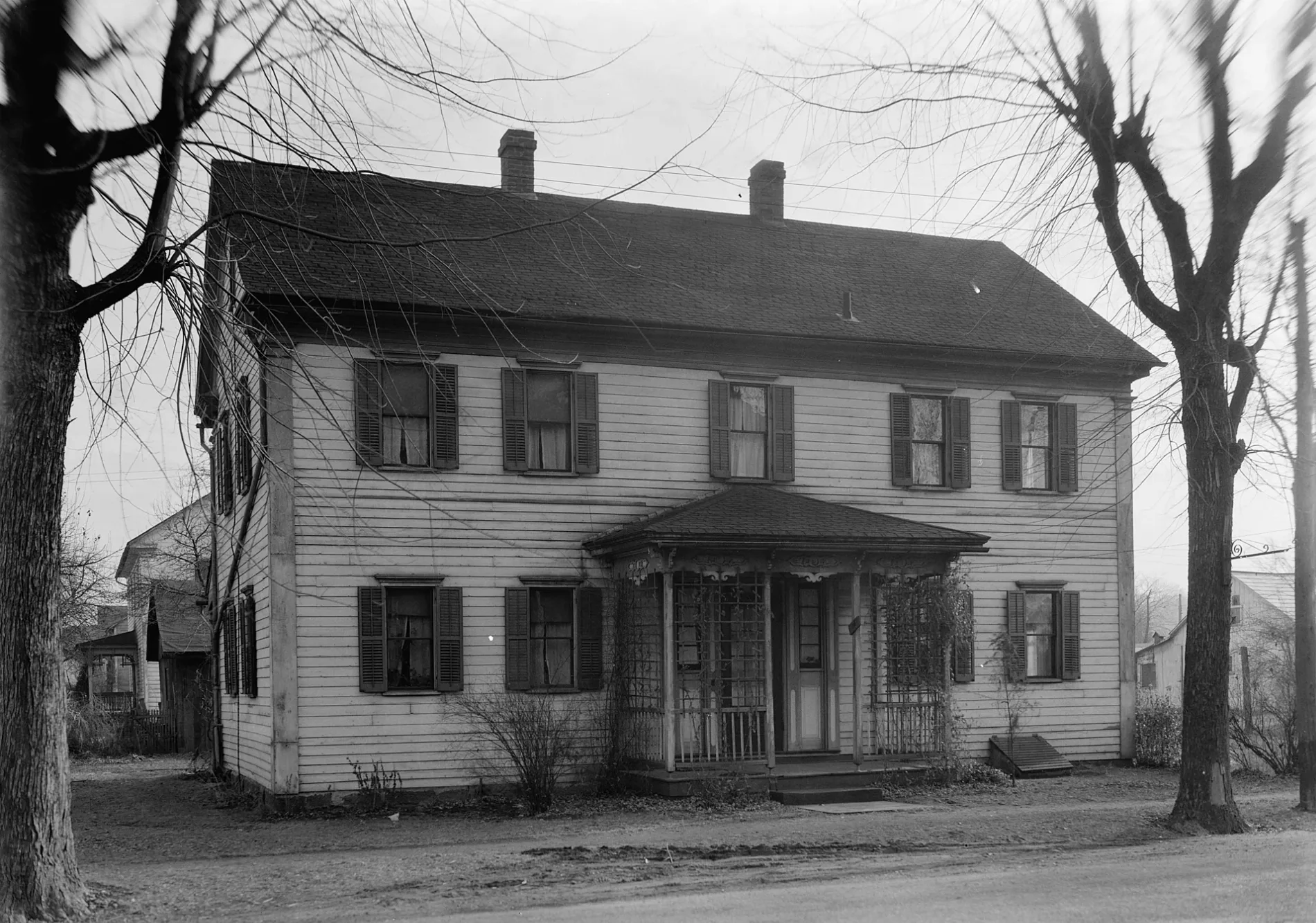
4th Street in Zoar, Ohio
4th Street in Zoar is a residential street. It runs in an east-west direction and crosses Park Street Northeast, Main Street and Foltz Street and ends at East Street, while the other end is a cul-de-sac.
- Road Type
- residential street
- Route
- east-west
Image
Post offices
Streets nearby
3rd Street400 ft
Park Street Northeast400 ft
5th Street400 ft
Foltz Street500 ft
6th Street0.1 mi
2nd Street0.1 mi
East Street0.1 mi
Lake Drive0.2 mi
1st StreetZoar Post Office
0.2 mi
7th Street0.3 mi
Main StreetZoar, Zoar Historic District
0.4 mi
Nottingham Square Northeast0.5 mi
Newland Drive Northeast0.5 mi
Ohio & Erie Canal Towpath Trail0.5 mi
Dover Zoar Road Northeast0.5 mi
Nimrod Forest Lane0.6 mi
Micheal Lane0.6 mi
Lawnridge Drive Northeast0.6 mi
Lafont Circle Northeast0.7 mi
Bimeler Street Northeast0.7 mi
Hickory Lane0.7 mi
Millbrook Square Northeast0.7 mi
Towpath Road Northeast0.7 mi
Mill Circle Drive Northeast0.7 mi
Millbridge Square Northeast0.7 mi
Hess Mill Road Northeast0.8 mi
Kathryn Square Northeast0.9 mi
Ohio & Erie Canal Towpath Trail / Zoar Valley Trail0.9 mi
Welton Road Northeast0.9 mi
Kennett Square Northeast1.0 mi
Kingwood Drive Northeast1.0 mi
Huffman Square NortheastWilkshire Hills
1.0 mi
South Hallmark Street Northeast1.1 mi
Hollingsworth Avenue Northeast1.1 mi
South Bimeler Street Northeast1.1 mi
Pondview Drive Northeast1.2 mi
Old Trail Road Northeast1.2 mi
Old Trail Road1.3 mi
Woodland Square Northeast1.3 mi
Dogwood Square Northeast1.3 mi
Buildings nearby
Number One House500 ft
Town Hall0.1 mi
Zoar Hotel0.1 mi
Cemeteries nearby
Zoar Cemetery0.3 mi
Dams nearby
Zoar Levee Diversion Dam0.2 mi
Old Zoar Dam Debris - RM 68.90.4 mi
Gardens nearby
Zoar Community Garden350 ft
Railways nearby
Rook Subdivision0.6 mi
Schools nearby
Tuscarawas Valley Middle School1.3 mi
Public transit map Zoar Legend
| Railway | |
| Bus | |
| Streetcar |
Bicycle map Zoar Legend
| Bike path | |
| Bike lane on roadway | |
| Cycling allowed on bus lane | |
| Bicycle street | |
| Open to cyclists | |
| Open to cyclists, good path | |
| Cycling prohibited | |
| Cobblestone |
| Long-distance bike route | (depending on scale) | |
| Long-distance bike route |
Pedestrian map Zoar Legend
| Path |
| Long-distance hiking trail | (depending on scale) | |
| Long-distance hiking trail | ||
| Pedestrians prohibited |