
Dogwood Grove in Zoar, Ohio
Dogwood Grove in Zoar is a path and it runs in a northeast-southwest direction.
- Road Type
- path
- Route
- northeast-southwest
Image
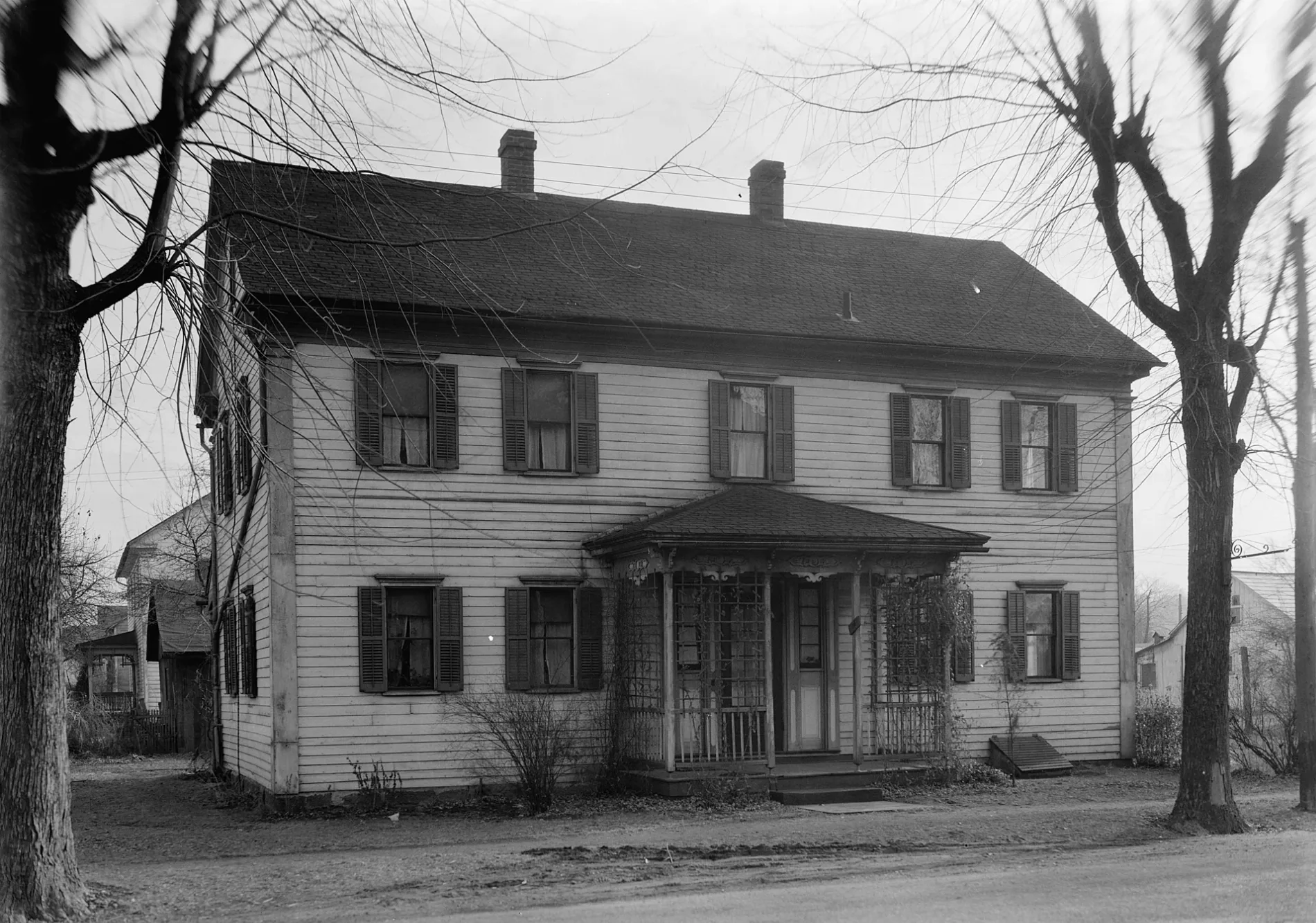
Streets nearby
River Trail0.1 mi
Ohio & Erie Canal Towpath Trail0.2 mi
Towpath Connector0.2 mi
First Street0.2 mi
Second Street0.2 mi
Dover Zoar Road Northeast0.2 mi
Park Street0.2 mi
Fourth Street0.3 mi
Main StreetZoar
0.3 mi
Third Street0.3 mi
Foltz Street0.3 mi
Seventh Street0.3 mi
Sixth Street0.3 mi
Cemetery Trail0.3 mi
Fifth Street0.3 mi
East Street0.4 mi
Buildings nearby
Sewing House0.2 mi
Bimler0.2 mi
Zoar Store0.2 mi
Number One House0.2 mi
Treasurer's House0.2 mi
Tailor Shop0.2 mi
Town Hall0.2 mi
Garden House0.2 mi
Zoar Hotel0.2 mi
Cobbler Shop0.3 mi
Tin Shop0.3 mi
Wagon Shop0.3 mi
Weaving Haus0.3 mi
Blacksmith Shop0.3 mi
Cider Mill0.3 mi
Cemeteries nearby
Zoar Cemetery0.3 mi
Convenience stores nearby
Zoar Creamery0.3 mi
Dams nearby
Zoar Levee Diversion Dam0.1 mi
Old Zoar Dam Debris - RM 68.90.1 mi
Gardens nearby
Zoar Community Garden0.2 mi
Houses nearby
Bimeler Cabin0.2 mi
Assembly House0.2 mi
Bakery0.3 mi
First School0.3 mi
Cider House0.3 mi
Boy's Dormitory0.3 mi
Bauer Haus0.3 mi
School House0.3 mi
Print Shop0.3 mi
Hermitage0.4 mi
Places of worship nearby
Zoar United Church of Christ0.3 mi
Post offices nearby
Zoar Post Office0.2 mi
Restaurants nearby
Oro Azteca Mexican Grill & Cantina0.2 mi
Public transit map Zoar Legend
| Railway | |
| Bus | |
| Streetcar |
Bicycle map Zoar Legend
| Bike path | |
| Bike lane on roadway | |
| Cycling allowed on bus lane | |
| Bicycle street | |
| Open to cyclists | |
| Open to cyclists, good path | |
| Cycling prohibited | |
| Cobblestone |
| Long-distance bike route | (depending on scale) | |
| Long-distance bike route |
Pedestrian map Zoar Legend
| Path |
| Long-distance hiking trail | (depending on scale) | |
| Long-distance hiking trail | ||
| Pedestrians prohibited |