
Bicentennial Plaza in Marietta, Ohio
Bicentennial Plaza in Marietta is a pedestrian zone. It runs in a northeast-southwest direction and ends in a cul-de-sac. Nearby you can find 2 tourist information centers. The nearest bus stop is Courthouse (about 600 m away).
- Road Type
- pedestrian zone
- Route
- northeast-southwest
Image
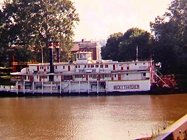
Tourist information centers
Streets nearby
West Ohio StreetRiverfront Bar & Grill, Pioneer Marietta circa 1792
100 ft
South 2nd Street550 ft
Monroe StreetMahone Tire Service
550 ft
Church StreetSettlers Bank
0.1 mi
South 3rd StreetWalgreens
0.2 mi
Tiber WayThe Hackett Hotel, Tiber Way Grille, Bella Ciao Salon, Sunflower Nails Spa, Red's Hair Shop, Merilee Normal
0.2 mi
3rd StreetThe Pedal Shop, Sacra Via, Marietta, Mr. Golden Scissors, Marty's Print Shop, Berkshire Hathaway HomeServices, Chase, NAPA Auto Parts, Asylum Comics, Heritage Coop, Fire Station Number 1, Neader's Diner
0.2 mi
Williamstown Bridge0.2 mi
Ohio StreetLevee House Bistro, Ohio River Sternwheeler Festival, Spanglish
0.2 mi
2nd StreetMarietta Adventure Company, Tampico Mexican Restaurant, The Wine Shop, Spalon of Marietta, Marietta Office Supply, The Original Pizza Place, Say Cheese, Cawley and Peoples Mortuary Museum, Les L. Rymer, D.D.S., McCarthy Dentistry, Marietta Dental Works, Tall Oaks Quality of Life Home Care, Ohio Valley Veterinary Hospital, Antique Mall of Marietta, The American Union Lodge No. 1 Free and Accepted Masons, Courthouse, Auto Plus, The Hair Shop, AutoPlus Auto Parts - Marietta Ignition Machine Shop, Real Living McCarthy Real Estate, Sprout Vision Center, Gator's
0.2 mi
Greene StreetNorwood Tavern, Advance Auto Parts, Contractors Building Supply, Star of India, Honest Fred's Flooring
0.3 mi
4th StreetWashington County Sheriff's Office, C. William O'Neil (1916-1978), Today's Hair Studio, Prisma Salon
0.3 mi
South 4th Street0.3 mi
Butler StreetOld Walnut Trail, CVS Pharmacy, Putnam Mascot Carving
0.3 mi
South 5th Street0.4 mi
Arts centers nearby
Hermann Fine Arts Center0.4 mi
Auto repair shops nearby
First Quality Collision0.3 mi
Banks nearby
WesBanco0.2 mi
Bars nearby
The Locker Room0.1 mi
Cannabis dispensaries nearby
Columbia Care Dispensary0.3 mi
Courthouses nearby
Marietta Municipal Court0.3 mi
Dormitories nearby
Pioneer House0.3 mi
Arts and Humanities House0.3 mi
Hopewell House0.3 mi
Delta Tau Delta0.4 mi
Harmar House0.4 mi
Fayerweather Hall0.4 mi
Drugstores nearby
CVS Pharmacy0.2 mi
Walgreens0.2 mi
Fast food restaurants nearby
KFC0.3 mi
Garages nearby
MC Garage0.3 mi
Hotels nearby
Lafeyette Hotel350 ft
Ice cream shops nearby
Kreamy Kreations250 ft
Liquor stores nearby
Beer Barn0.2 mi
Paint stores nearby
Sherwin-Williams0.3 mi
Parks nearby
Ohio Riverfront Park100 ft
Planetariums nearby
Anderson Hancock Planetarium0.4 mi
Recreation grounds nearby
Beren Tennis Center0.3 mi
Restaurants nearby
Donatos Pizza0.2 mi
The Galley0.2 mi
Shelters nearby
Bicentennial Pavillion0.1 mi
Sports fields nearby
Softball Complex0.4 mi
Streams nearby
Goose Creek0.3 mi
Technical colleges nearby
Physician Assistant Program0.3 mi
Physical Plant0.3 mi
Rickey Science Center0.4 mi
Geology Annex0.4 mi
Brown Petroleum Building0.4 mi
Andrews Hall0.4 mi
 Public transit map Marietta Legend
| Railway | |
| Bus | |
| Streetcar |
 Bicycle map Marietta Legend
| Bike path | |
| Bike lane on roadway | |
| Cycling allowed on bus lane | |
| Bicycle street | |
| Open to cyclists | |
| Open to cyclists, good path | |
| Cycling prohibited | |
| Cobblestone |
| Long-distance bike route | (depending on scale) | |
| Long-distance bike route |
 Pedestrian map Marietta Legend
| Path |
| Long-distance hiking trail | (depending on scale) | |
| Long-distance hiking trail | ||
| Pedestrians prohibited |