
County Road M-50 in Jefferson Township, Ohio
County Road M-50 in Williams County is a residential street. It runs in an east-west direction and ends in a cul-de-sac.
- Road Type
- residential street
- Route
- east-west
Image
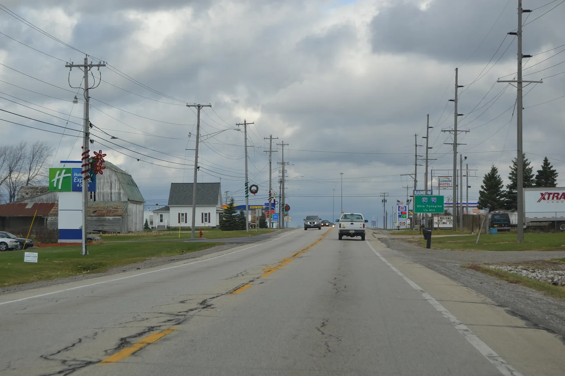
Gas stations
Streets nearby
County Road M500.3 mi
County Road M0.6 mi
Ohio Turnpike0.8 mi
Traxler Drive1.3 mi
County Road 131.4 mi
County Road N.651.5 mi
County Road N1.5 mi
County Road 151.7 mi
County Road 12.501.7 mi
Wabash Cannonball Trail (North Fork)1.8 mi
Wabash Cannonball Trail1.8 mi
Don Street1.8 mi
Hinkle Avenue1.9 mi
East Main StreetMontpelier Public Library
1.9 mi
Travis Drive1.9 mi
Roger StreetCox Subdivision
1.9 mi
West Circle Drive1.9 mi
Dogwood Lane1.9 mi
Rodney1.9 mi
East Circle Drive2.0 mi
County Road 16Caster Subdivision
2.0 mi
Magda Drive2.0 mi
K O Starr Drive2.0 mi
Airport Road2.0 mi
Township Highway 1342.1 mi
Whitaker Way2.2 mi
County Road O2.2 mi
Gen Jo Drive2.3 mi
Candytuft Lane2.3 mi
Beech Street2.4 mi
Beck A Rue2.5 mi
Hickory Street2.5 mi
Oak Street2.5 mi
Jefferson Street2.5 mi
Main StreetWest Jefferson
2.5 mi
Abandoned railways nearby
Chicago and Canada Southern Railway1.6 mi
Cemeteries nearby
West Jefferson Cemetery2.3 mi
Golf courses nearby
Hillcrest Golf Course2.1 mi
Hotels nearby
Quality Inn250 ft
Roadway Inn550 ft
Holiday Inn Express Hotel & Suites Bryan-Montpelier0.2 mi
Industrial areas nearby
Chase Brass and Copper Company, LLC0.2 mi
20/20 Custom Molded Plastics0.7 mi
Menards Distribution Center2.0 mi
Nature reserves nearby
Montpelier Woods1.8 mi
Places of worship nearby
Madison Church1.4 mi
Pleasant Ridge Church2.4 mi
Railways nearby
NS Detroit District2.2 mi
Restaurants nearby
Four Seasons Diner450 ft
 Public transit map Jefferson Township Legend
| Railway | |
| Bus | |
| Streetcar |
 Bicycle map Jefferson Township Legend
| Bike path | |
| Bike lane on roadway | |
| Cycling allowed on bus lane | |
| Bicycle street | |
| Open to cyclists | |
| Open to cyclists, good path | |
| Cycling prohibited | |
| Cobblestone |
| Long-distance bike route | (depending on scale) | |
| Long-distance bike route |
 Pedestrian map Jefferson Township Legend
| Path |
| Long-distance hiking trail | (depending on scale) | |
| Long-distance hiking trail | ||
| Pedestrians prohibited |