
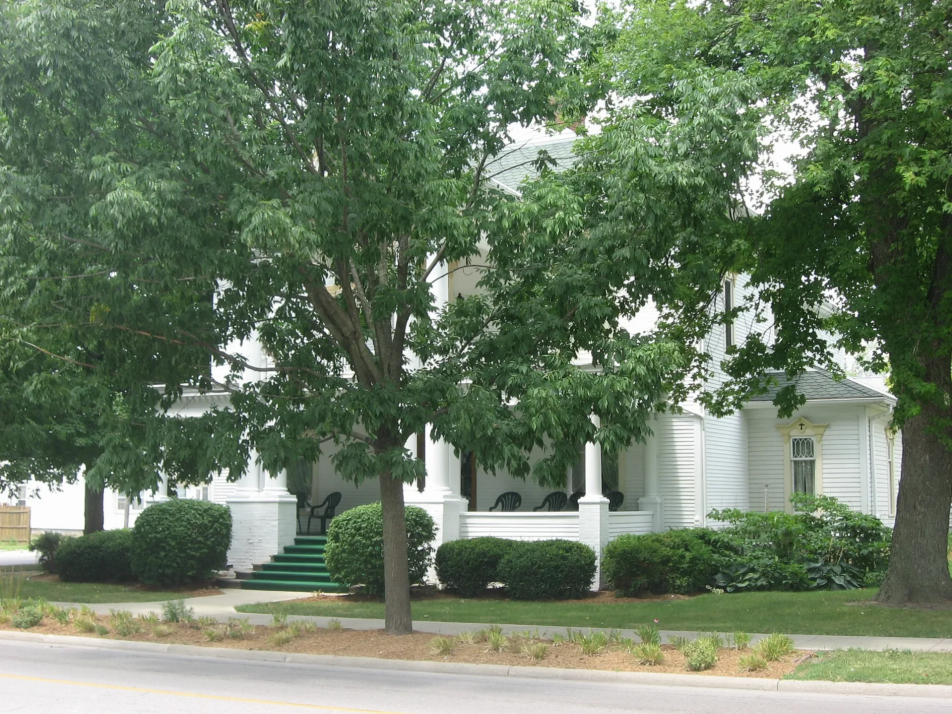
North Jonesville Street in Superior Township, Ohio
North Jonesville Street in Williams County is a residential street. It runs in a north-south direction and crosses West Water Street, West Madison Street and West Main Street and ends at South Jonesville Street, while the other end is a cul-de-sac.
- Road Type
- residential street
- Route
- north-south
Image
Beverage stores
Places of worship
Streets nearby
West Madison StreetDrop Tine Winery And Tap House
200 ft
West Water Street250 ft
North Monroe Street500 ft
Moore Street500 ft
Circle Drive0.1 mi
Opdyke Street0.2 mi
County Road 110.2 mi
West Washington Street0.2 mi
West Main Street0.2 mi
South Monroe Street0.2 mi
West Jefferson Street0.2 mi
North Platt Street0.2 mi
South Jonesville Street0.2 mi
Empire Street0.2 mi
Broad Street0.2 mi
Snyder Street0.3 mi
Ohio Street0.3 mi
North Pleasant Street0.3 mi
West Wayne Street0.3 mi
North Harrison Street0.3 mi
East Madison Street0.3 mi
West Lawrence Street0.3 mi
East Water Street0.3 mi
Mill Street0.3 mi
East Wayne Street0.4 mi
North East Avenue0.4 mi
South Platt Street0.4 mi
East Washington Street0.4 mi
South Harrison Street0.4 mi
West Court Street0.4 mi
Morris Drive0.4 mi
Bryant0.4 mi
South East Avenue0.5 mi
East Jefferson StreetMontpelier
0.5 mi
River Street0.5 mi
Iuka Drive0.6 mi
Buildings nearby
James Delos Hill House0.3 mi
Churches nearby
Central United Brethren Church0.3 mi
Commercial buildings nearby
Two Brothers Market0.1 mi
Libraries nearby
Montpelier Public Library0.3 mi
Parks nearby
Robert A. Storrer Municipal Park0.4 mi
Main Street Park0.4 mi
Places of worship nearby
Saint Johns Lutheran Church0.2 mi
First Presbyterian Church0.2 mi
Montpelier Church of Christ0.3 mi
Saint Pauls United Methodist Church0.3 mi
Sacred Heart Catholic Church0.4 mi
Police stations nearby
Montpelier Police Department0.2 mi
Post offices nearby
Montpelier Post Office0.1 mi
Public transit map Superior Township Legend
| Railway | |
| Bus | |
| Streetcar |
Bicycle map Superior Township Legend
| Bike path | |
| Bike lane on roadway | |
| Cycling allowed on bus lane | |
| Bicycle street | |
| Open to cyclists | |
| Open to cyclists, good path | |
| Cycling prohibited | |
| Cobblestone |
| Long-distance bike route | (depending on scale) | |
| Long-distance bike route |
Pedestrian map Superior Township Legend
| Path |
| Long-distance hiking trail | (depending on scale) | |
| Long-distance hiking trail | ||
| Pedestrians prohibited |