
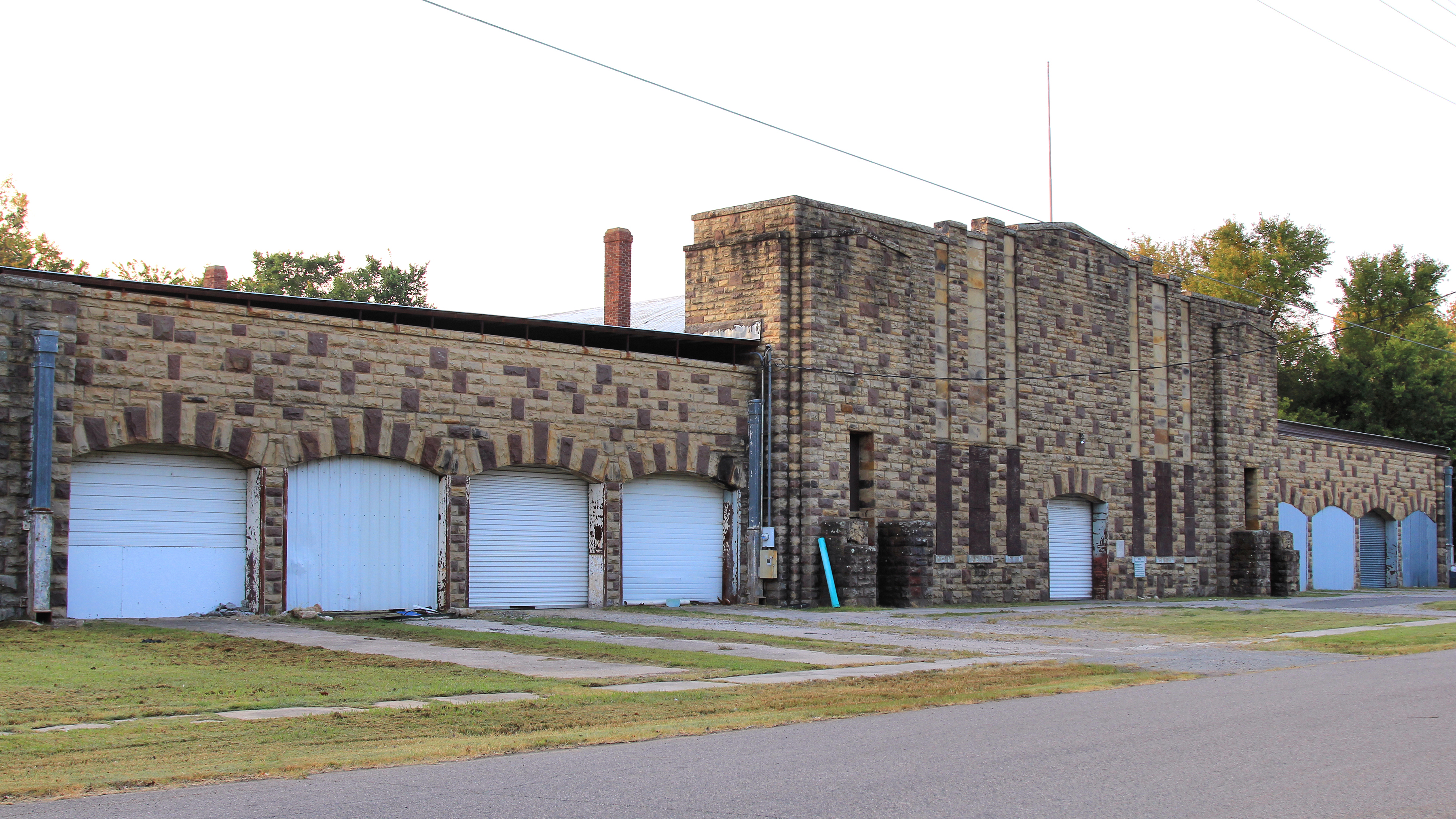
East C Street in Atoka, Oklahoma
East C Street in Atoka is a residential street. It runs in an east-west direction starting from West C Street and crosses North Mississippi Avenue, North Delaware Avenue, North Pennsylvania Avenue and North Ohio Avenue. It ends in a cul-de-sac. East C Street also exists in Ottawa County, Kay County, Blaine County, Garvin County and Tulsa.
- Road Type
- residential street
- Speed Limit
- 45 mph
- Route
- east-west
Image
Motels
Schools
Courthouses
Banks
Restaurants
Places of worship
Gas stations
Hotels
Pawn shops
Fast food restaurants
Convenience stores
Community centers
Cell phone stores
Gun stores
Streets nearby
North Pennsylvania Avenue50 ft
North Ohio Avenue0.1 mi
West C Street0.1 mi
West B Street0.2 mi
East A StreetFist Baptist Church
0.2 mi
North Mississippi AvenueSunoco, Thunderbird Motel, Hop & Shop #3
0.2 mi
North Delaware Avenue0.2 mi
North Main StreetAtoka County Chamber of Commerce
0.2 mi
North Indiana Street0.2 mi
North California Avenue0.3 mi
South Delaware Avenue0.3 mi
East Court StreetAtoka County Courthouse
0.3 mi
West Liberty Road0.3 mi
East B Street0.3 mi
West A Street0.3 mi
Reba McIntire Street0.3 mi
East 1st StreetPresbyterian Church
0.3 mi
South 1st Street0.3 mi
South Main Street0.4 mi
West Court Street0.4 mi
North Minnesota Avenue0.4 mi
South Ohio Avenue0.4 mi
North Kentucky Avenue0.4 mi
West 1st StreetAtoka Middle School, Atoka First Methodist Church
0.4 mi
East 2nd Street0.4 mi
Texas Avenue0.4 mi
West 2nd Street0.4 mi
South Kentucky Avenue0.5 mi
South Minnesota Avenue0.5 mi
East 7th Street0.5 mi
East 3rd Street0.5 mi
South Mississippi AvenueAtoka, Shell, O'Reilly Auto Parts, Dollar Tree, T-Mobile, Happy Hair & Nails, Taco Bell, Arby's, First Bank, Casey's General Store, Cazadorez Mexican Restaurant, The Pawn Ticket
0.5 mi
South Pennsylvania Avenue0.5 mi
South Indiana Avenue0.5 mi
Cliff Drive0.6 mi
North Spring Road0.6 mi
Maple Lane0.6 mi
Park Drive0.6 mi
Spring Road0.6 mi
Montana Avenue0.6 mi
East 4th Street0.6 mi
West 3rd Street0.6 mi
North Hill Road0.6 mi
Oregon Avenue0.6 mi
Allen Drive0.6 mi
West Sandy Creek Road0.7 mi
Police stations nearby
Atoka County Sheriffs Office0.3 mi
Railways nearby
Choctaw Subdivision0.3 mi
Supermarkets nearby
Pruett's0.6 mi
Public transit map Atoka Legend
| Railway | |
| Bus | |
| Streetcar |
Bicycle map Atoka Legend
| Bike path | |
| Bike lane on roadway | |
| Cycling allowed on bus lane | |
| Bicycle street | |
| Open to cyclists | |
| Open to cyclists, good path | |
| Cycling prohibited | |
| Cobblestone |
| Long-distance bike route | (depending on scale) | |
| Long-distance bike route |
Pedestrian map Atoka Legend
| Path |
| Long-distance hiking trail | (depending on scale) | |
| Long-distance hiking trail | ||
| Pedestrians prohibited |