
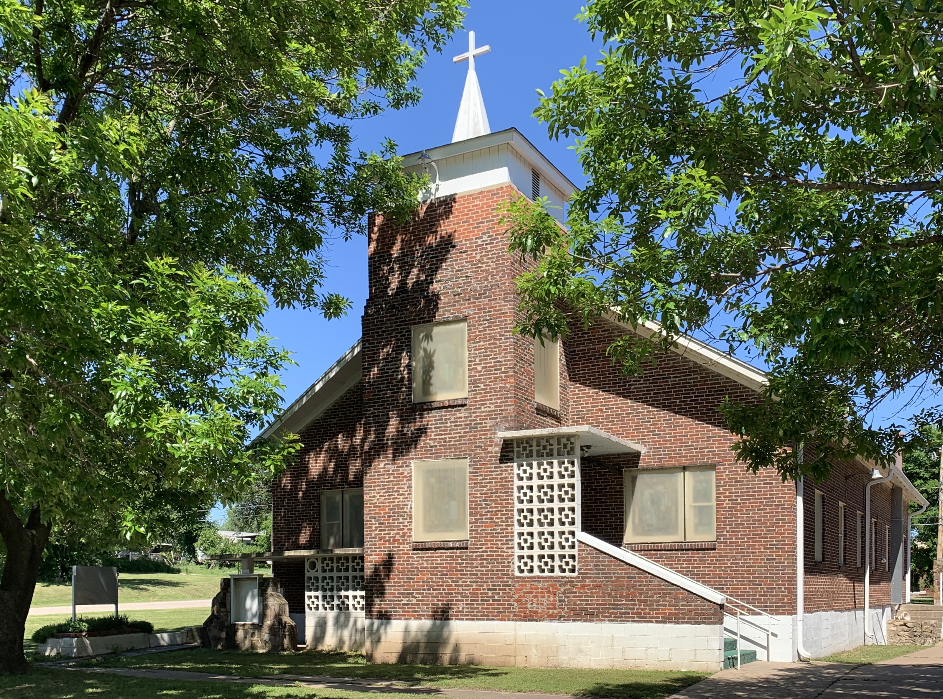
South 13th Street in Ponca City, Oklahoma
South 13th Street in Ponca City is a residential street. It runs in a north-south direction starting from East Central Avenue and crosses East Oklahoma Avenue, East Ponca Avenue, East Otoe Avenue and East South Avenue and ends at Madison Avenue. South 13th Street also exists in Tonkawa.
- Road Type
- residential street
- Speed Limit
- 25 mph
- Route
- north-south
Image
Fast food restaurants
Museums
Collector shops
Places of worship
Schools
Restaurants
Art galleries
Streets nearby
South 12th Street400 ft
South 14th Street0.1 mi
East Madison Avenue0.2 mi
South 11th Street0.2 mi
East Dixie Avenue0.2 mi
East South AvenueThe Mission
0.3 mi
East Scott Avenue0.3 mi
South 9th Street0.3 mi
East Houston Avenue0.3 mi
South 10th Street0.3 mi
East Walnut AvenueSaint Marys School
0.4 mi
East Otoe AvenueGarfield School
0.4 mi
East Oklahoma AvenueFirst Baptist Church, Jim's Jumbo Burger
0.4 mi
Miller Avenue0.5 mi
South 8th Street0.5 mi
East Ponca Avenue0.5 mi
Edwards Avenue0.5 mi
South 6th Street0.5 mi
East Alma Avenue0.5 mi
10th Street0.5 mi
East Maple Avenue0.5 mi
East Grand AvenueGrace Episcopal Church, Ponca City
0.6 mi
East Cherry AvenueTortilleria Los Compadres
0.6 mi
North 14th StreetConoco, Quality Inn, Cobb's Cafe
0.6 mi
South 5th Street0.6 mi
North 13th Street0.6 mi
East Hillcrest Drive0.7 mi
North 12th Street0.7 mi
North 11th Street0.7 mi
North 10th Street0.7 mi
North 8th Street0.8 mi
North 9th Street0.8 mi
Attractions nearby
Cann Memorial Gardens0.6 mi
Convenience stores nearby
Stop-N-Go0.1 mi
Triple T Quick Stop0.3 mi
Fast food restaurants nearby
Sonic0.2 mi
Domino's0.2 mi
Gas stations nearby
Conoco0.1 mi
Valero0.3 mi
Motels nearby
Americas Best Value Inn0.3 mi
Regal Inn0.4 mi
Econo Lodge0.4 mi
Lazy K Motel0.5 mi
Parks nearby
Garfield Park0.4 mi
Willow Springs Park0.4 mi
Pecan Park0.5 mi
Marland's Grand Home0.5 mi
School buildings nearby
Ponca City Junior High School0.7 mi
Studios nearby
WBBZ0.5 mi
Public transit map Ponca City Legend
| Railway | |
| Bus | |
| Streetcar |
Bicycle map Ponca City Legend
| Bike path | |
| Bike lane on roadway | |
| Cycling allowed on bus lane | |
| Bicycle street | |
| Open to cyclists | |
| Open to cyclists, good path | |
| Cycling prohibited | |
| Cobblestone |
| Long-distance bike route | (depending on scale) | |
| Long-distance bike route |
Pedestrian map Ponca City Legend
| Path |
| Long-distance hiking trail | (depending on scale) | |
| Long-distance hiking trail | ||
| Pedestrians prohibited |