
Northeast 4th Street in Perkins / Pékinⁿ Chína^i, Oklahoma
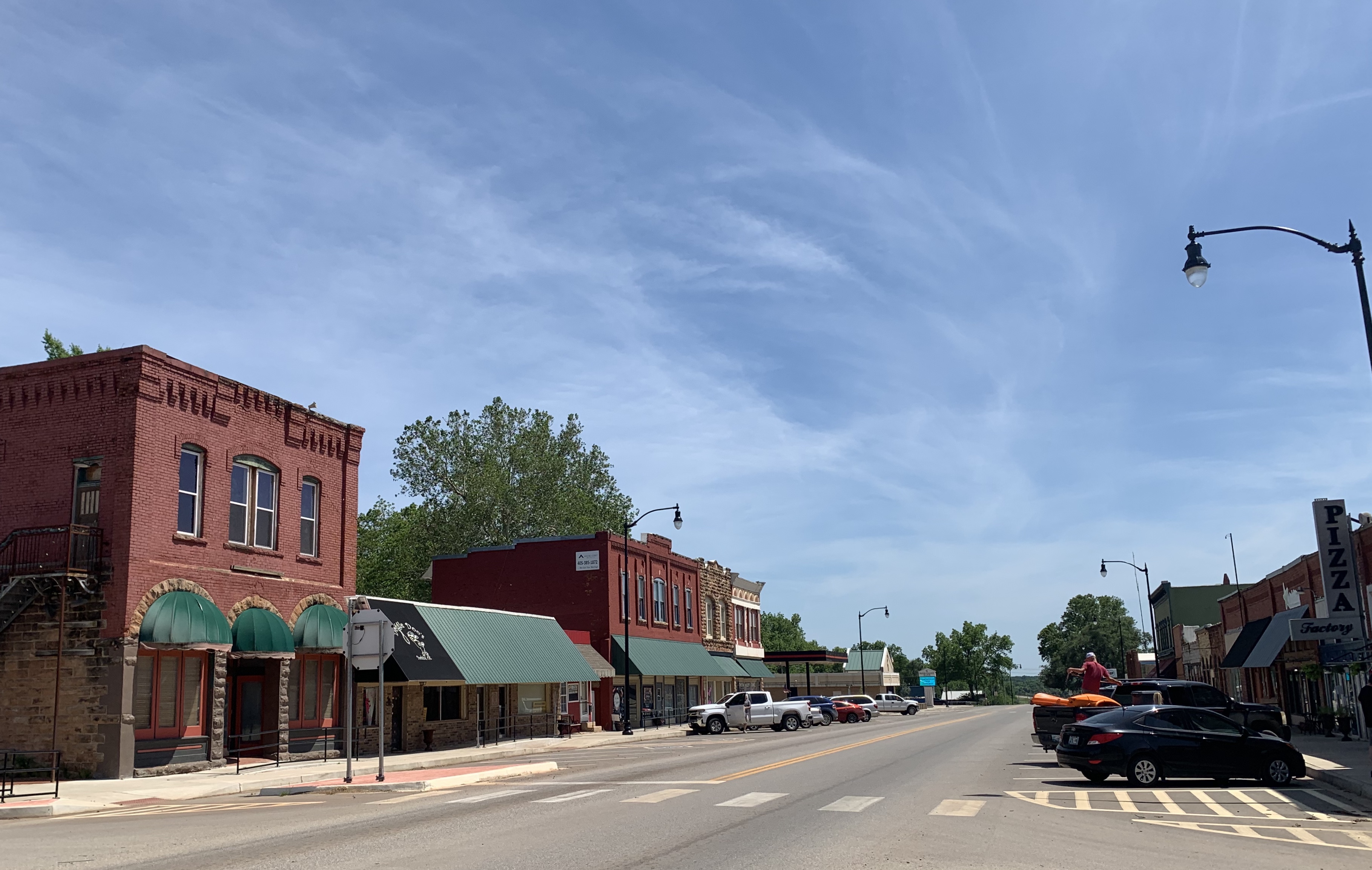
Northeast 4th Street in Perkins / Pékinⁿ Chína^i is an asphalted residential street. It runs in a north-south direction starting from East Chantry Avenue and crosses East French Avenue and East Kenworthy Avenue and ends at East Thomas Avenue. Northeast 4th Street also exists in LeFlore County, Craig County, Harper County, Texas County and McCurtain County.
- Road Type
- residential street
- Speed Limit
- 25 mph
- Route
- north-south
Image
Gas stations
Gift shops
Places of worship
Streets nearby
East French Avenue250 ft
Northeast 5th Street400 ft
East Chantry Avenue400 ft
East Kenworthy Avenue450 ft
Northeast 3rd Street450 ft
Northeast 2nd Street0.1 mi
East Thomas Avenue0.1 mi
Northeast 6th Street0.2 mi
Northeast 1st Street0.2 mi
Northeast 7th Street0.2 mi
Northeast Dale Court0.2 mi
East Stumbo AvenueHariss 66
0.2 mi
East Butler Street0.3 mi
North Main Street0.3 mi
Southeast 1st Street0.3 mi
Southeast 2nd Street0.3 mi
North Park Drive0.3 mi
East Hert Avenue0.3 mi
East Kirk Avenue0.3 mi
Northwest 1st Street0.3 mi
Southeast 3rd Street0.4 mi
East Knipe Avenue0.4 mi
Northwest 2nd Street0.4 mi
Cross Street0.4 mi
West Chantry Avenue0.4 mi
Crozier Street0.4 mi
Southwest 1st Street0.4 mi
West Stumbo AvenueAntiques
0.4 mi
West French Avenue0.5 mi
Northwest 3rd Street0.5 mi
West Hert Avenue0.5 mi
Southwest 2nd Street0.5 mi
South Main StreetMain Street Cuts
0.5 mi
Oak Tree Avenue0.5 mi
West Knipe Avenue0.5 mi
Southwest 3rd Street0.5 mi
Old Hickory Lane0.6 mi
Williams Road0.6 mi
Banks nearby
Stroud National Bank0.4 mi
Car washes nearby
Touchless Car Wash0.4 mi
Convenience stores nearby
Casey's Convenience Store0.7 mi
Delis nearby
Cedarwood Market0.4 mi
Fast food restaurants nearby
McDonald's0.6 mi
Libraries nearby
Perkins Public Library0.3 mi
Parks nearby
Oklahoma Territorial Plaza0.4 mi
Playgrounds nearby
Splash pad0.4 mi
Police stations nearby
Perkins Police Department0.3 mi
Supermarkets nearby
Williams Foods0.6 mi
Town halls nearby
Perkins City Hall0.3 mi
Public transit map Perkins / Pékinⁿ Chína^i Legend
| Railway | |
| Bus | |
| Streetcar |
Bicycle map Perkins / Pékinⁿ Chína^i Legend
| Bike path | |
| Bike lane on roadway | |
| Cycling allowed on bus lane | |
| Bicycle street | |
| Open to cyclists | |
| Open to cyclists, good path | |
| Cycling prohibited | |
| Cobblestone |
| Long-distance bike route | (depending on scale) | |
| Long-distance bike route |
Pedestrian map Perkins / Pékinⁿ Chína^i Legend
| Path |
| Long-distance hiking trail | (depending on scale) | |
| Long-distance hiking trail | ||
| Pedestrians prohibited |