
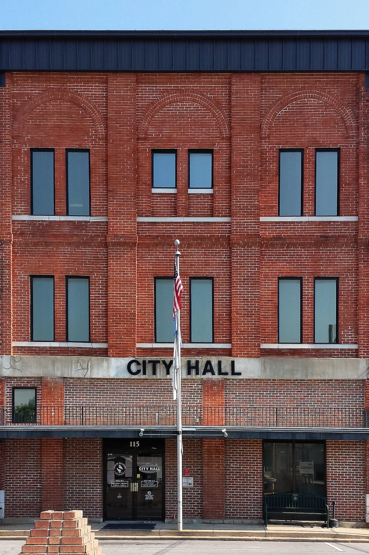
East Redwood Avenue in Sallisaw, Oklahoma
East Redwood Avenue in Sallisaw is a two-lane, asphalted local road (Road number CR E1070). It runs in an east-west direction starting from West Redwood Avenue and crosses North Elm Street, North Oak Street, North Harriet Street, North Wheeler Place, North Wheeler Street, Redwood Court, Cherry Street, Sam Ed Bush Drive, Mitchell Street, North Dogwood Street and Melba Denton Lane. It ends in a cul-de-sac. This street is part of the highway "E1070".
- Road Type
- local road
- Lanes
- 2
- Route
- east-west
Image
Banks
Restaurants
Gas stations
Cafes
Department stores
Variety stores
Places of worship
Attractions
Clinics
Pharmacies
Fast food restaurants
Auto parts stores
Furniture stores
Liquor stores
Streets nearby
West Vine Avenue500 ft
East Vine Avenue500 ft
North Walnut Place0.1 mi
North Harriet Street0.1 mi
West Denton Avenue0.2 mi
Harriet Place0.2 mi
East Cherokee StreetSallisaw Dental Clinic
0.2 mi
North Main Street0.2 mi
North Walnut Street0.2 mi
Quail Ridge Drive0.2 mi
West Cherokee AvenueFinish Line, Charlie’s Chicken
0.2 mi
West Argyle Avenue0.3 mi
Quesenbury AvenueThe House
0.3 mi
North Oak Street0.3 mi
Robin Lane0.3 mi
West Hasting Avenue0.3 mi
North Wheeler Street0.3 mi
West Sunset Avenue0.3 mi
North Wheeler Place0.3 mi
North Pine Street0.3 mi
Lillard Lane0.3 mi
Mockingbird Lane0.3 mi
North Mulberry Street0.3 mi
Redwood Court0.4 mi
North Elm Street0.4 mi
West Avalon Avenue0.4 mi
Zulkey Street0.4 mi
Rigsby Road0.4 mi
Cherry Street0.4 mi
West Horn Avenue0.4 mi
East Zulkey Avenue0.5 mi
Ridge Drive0.5 mi
Corley Street0.5 mi
Buildings nearby
A&B Furniture0.2 mi
Buildings nearby
Sallisaw Chamber of Commerce0.3 mi
Cafes nearby
Oasis Coffee House0.2 mi
Community centers nearby
the Shed0.2 mi
Jewelry stores nearby
White’s Jewelers0.3 mi
Libraries nearby
Stanley Tubbs Memorial Library0.2 mi
Places of worship nearby
First Presbyterian Church0.3 mi
Railways nearby
UP Wagoner Subdivision0.2 mi
Recreation grounds nearby
Pocket Park0.2 mi
Restaurants nearby
Ruger’s Grill0.2 mi
Hiro Hiro0.3 mi
Retail buildings nearby
Earth’s Food Barn0.2 mi
Lisa’s Antiques & More0.2 mi
Front Street Market0.2 mi
Catholic Charities Helping Center0.3 mi
Secondhand stores nearby
Becca’s Bargains0.2 mi
 Public transit map Sallisaw Legend
| Railway | |
| Bus | |
| Streetcar |
 Bicycle map Sallisaw Legend
| Bike path | |
| Bike lane on roadway | |
| Cycling allowed on bus lane | |
| Bicycle street | |
| Open to cyclists | |
| Open to cyclists, good path | |
| Cycling prohibited | |
| Cobblestone |
| Long-distance bike route | (depending on scale) | |
| Long-distance bike route |
 Pedestrian map Sallisaw Legend
| Path |
| Long-distance hiking trail | (depending on scale) | |
| Long-distance hiking trail | ||
| Pedestrians prohibited |