
South Wheeler Street in Sallisaw, Oklahoma
South Wheeler Street in Sallisaw is a local road. It runs in a north-south direction starting from North Wheeler Street and crosses East Chickasaw Avenue, East Creek Avenue, East Mary Avenue, East Ida Avenue, East Sarah Avenue, East Lucy Avenue and East Watts Avenue and ends at East Delaware Avenue.
- Road Type
- local road
- Route
- north-south
Image
Clinics
Banks
Gas stations
Attractions
Furniture stores
Places of worship
Cafes
Department stores
Restaurants
Fast food restaurants
Auto parts stores
Colleges
Pharmacies
Cell phone stores
Streets nearby
East Sarah Avenue400 ft
East Lucy Avenue400 ft
South Mulberry Street550 ft
South Oak Street0.1 mi
East Delaware Avenue0.1 mi
East Ida AvenueEastside Baptist Church
0.2 mi
South Chestnut Street0.2 mi
East Watts Avenue0.2 mi
South Holly Street0.2 mi
South Locust Street0.2 mi
East Shawnee Avenue0.2 mi
East Wyandotte Avenue0.2 mi
East Seminole Avenue0.2 mi
East Poplar Place0.2 mi
West Seminole Avenue0.2 mi
Beech Street0.2 mi
South Poplar Avenue0.3 mi
South Elm Street0.3 mi
East Lloyd Henry Avenue0.3 mi
East Creek Avenue0.3 mi
East Chickasaw AvenueSallisaw
0.3 mi
West Shawnee Avenue0.3 mi
North Holly StreetSallisaw Chiropractic Clinic
0.3 mi
North Poplar Street0.4 mi
North Mulberry Street0.4 mi
North Oak Street0.4 mi
South Walnut Street0.4 mi
North Wheeler Street0.4 mi
North Elm Street0.4 mi
East Cherokee StreetSallisaw Dental Clinic, Saucy Rooster, Feed Barn
0.4 mi
Buildings nearby
A&B Furniture0.4 mi
Buildings nearby
Agent & Mallory-Martin Funeral Services0.2 mi
Sallisaw Chamber of Commerce0.4 mi
Cafes nearby
Oasis Coffee House0.4 mi
Jewelry stores nearby
White’s Jewelers0.4 mi
Parks nearby
Alex Denton Park0.3 mi
Old Sallisaw High School Park0.3 mi
Places of worship nearby
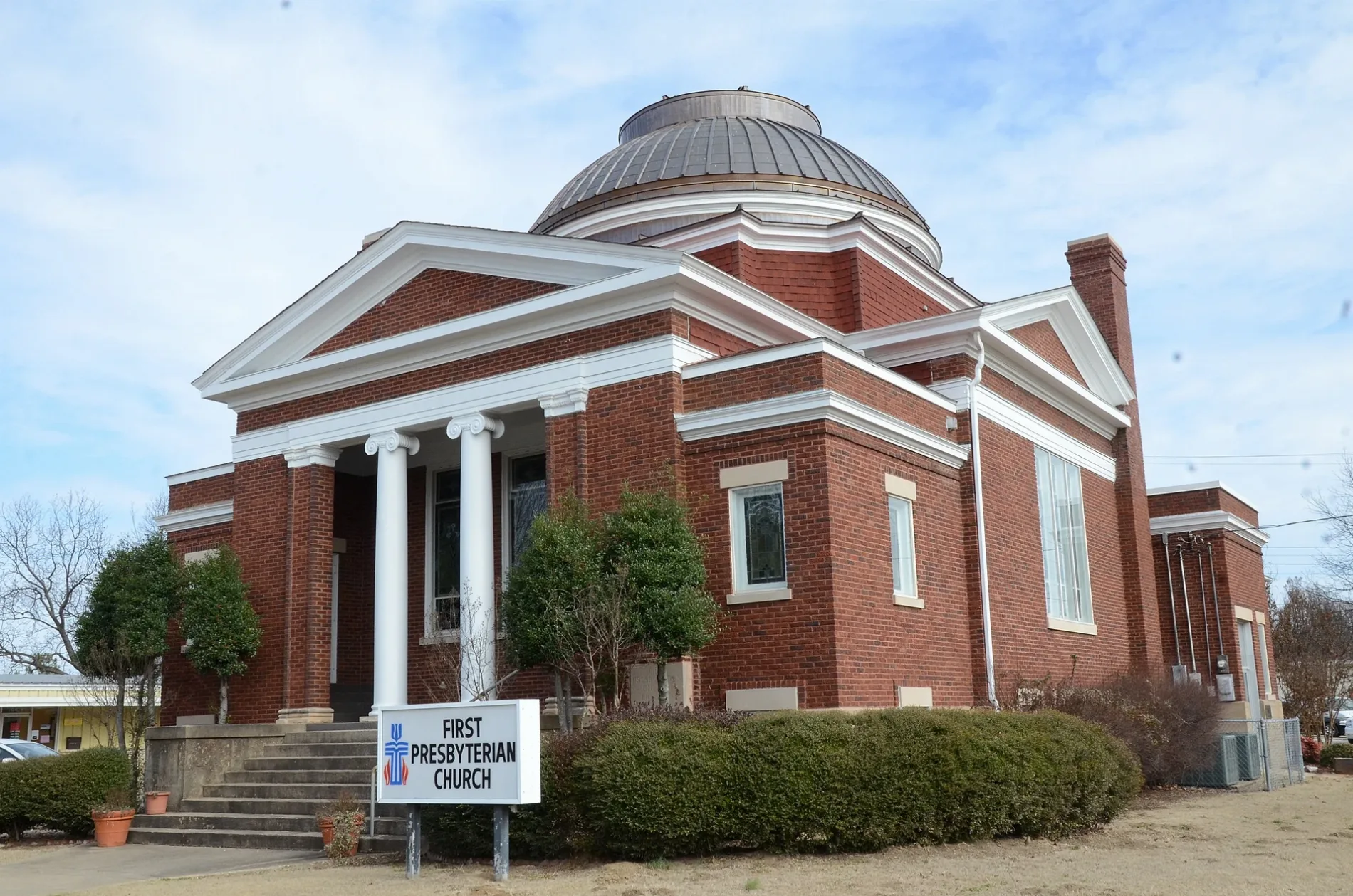
First Presbyterian Church0.4 mi
Police stations nearby
Sequoyah County Sheriff0.2 mi
Railways nearby
Heavener Subdivision0.3 mi
Recreation grounds nearby
Pocket Park0.4 mi
Restaurants nearby
Hiro Hiro0.4 mi
Ruger’s Grill0.4 mi
Retail buildings nearby
Catholic Charities Helping Center0.4 mi
Front Street Market0.4 mi
Earth’s Food Barn0.4 mi
Lisa’s Antiques & More0.4 mi
Secondhand stores nearby
Becca’s Bargains0.4 mi
Sports centers nearby
Sallisaw Soccer Field0.2 mi
Public transit map Sallisaw Legend
| Railway | |
| Bus | |
| Streetcar |
Bicycle map Sallisaw Legend
| Bike path | |
| Bike lane on roadway | |
| Cycling allowed on bus lane | |
| Bicycle street | |
| Open to cyclists | |
| Open to cyclists, good path | |
| Cycling prohibited | |
| Cobblestone |
| Long-distance bike route | (depending on scale) | |
| Long-distance bike route |
Pedestrian map Sallisaw Legend
| Path |
| Long-distance hiking trail | (depending on scale) | |
| Long-distance hiking trail | ||
| Pedestrians prohibited |