
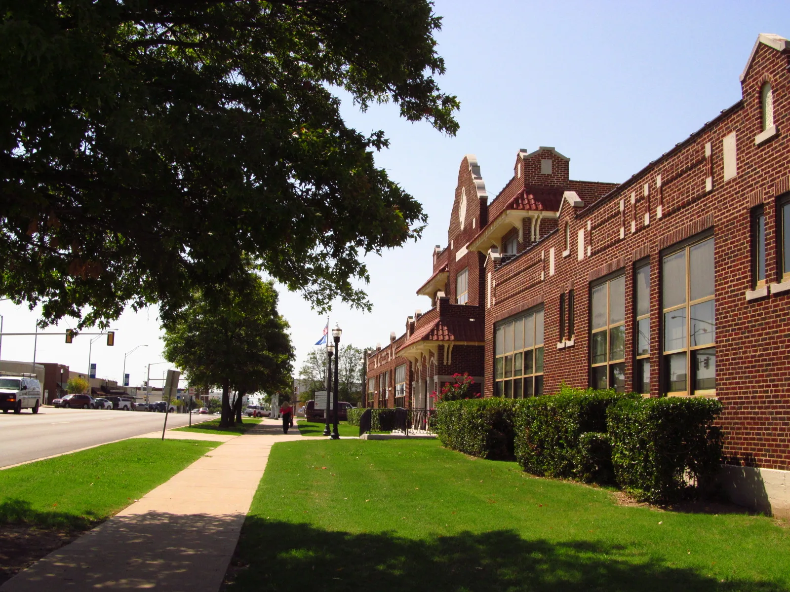
South Main Street in Broken Arrow, Oklahoma
South Main Street in Broken Arrow is a three-lane, asphalted footpath. The street has bike paths (bike protection lane). It runs in a north-south direction and crosses East Broadway Avenue, North Main Street, West Broadway Avenue, East Commercial Street, West Commercial Street, East Dallas Street, West Dallas Street, East El Paso Street, West El Paso Street, East Fort Worth Street, West Galveston Street and West Houston Street. It ends in a cul-de-sac. This street is part of the Bicycle route "North-South Trail". Nearby you can find among others 4 restaurants, 3 places of worship, 2 furniture stores and 2 bars. The nearest stop is Main Street & Houston Street. The bus line 900 stops here. South Main Street also exists in Owasso, Bixby and Sand Springs.
- Bike Lane
- shared lane
- Road Type
- secondary road
- Lanes
- 3
- Speed Limit
- 25 mph
- Route
- north-south
Image
Furniture stores
Jewelry stores
Laundries
Bus stops
- bus lines 900
Restaurants
Hair salons
Convenience stores
Antique stores
Places of worship
Bars
Clothing stores
Sewing supply stores
Beauty salons
Streets nearby
West Broadway AvenueAmenities nearby
Newcomb Chiropractic ClinicShops nearby
State Beauty SupplyAntique stores nearby
Family Treasures Antique MallBanks nearby
First National BankBeauty salons nearby
Berkshire Salon and Day SpaBike shops nearby
Phat Tire Bike ShopBuildings nearby
WRACafes nearby
Laurannae Baking Co.Chocolate shops nearby
Nouveau ChocolatesCommercial areas nearby
Elam SquareCommercial buildings nearby
Armada ConsultingEvent venues nearby
Laurannae SocialHousewares stores nearby
FunktifiedIce cream shops nearby
Rose Rock MicrocreameryIndustrial buildings nearby
Broken Arrow Dance CompanyMuseums nearby
Military History MuseumMusic stores nearby
Studio RecordsParks nearby
Centennial ParkPlaces of worship nearby
First United Methodist ChurchRestaurants nearby
Cheri Ann's TrattoriaRetail buildings nearby
Integrity Staffing GroupTire dealers nearby
GoodyearTown halls nearby
Broken Arrow City HallToy stores nearby
It's a Toy World Public transit map Broken Arrow Legend
| Railway | |
| Bus | |
| Streetcar |
 Bicycle map Broken Arrow Legend
| Bike path | |
| Bike lane on roadway | |
| Cycling allowed on bus lane | |
| Bicycle street | |
| Open to cyclists | |
| Open to cyclists, good path | |
| Cycling prohibited | |
| Cobblestone |
| Long-distance bike route | (depending on scale) | |
| Long-distance bike route |
 Pedestrian map Broken Arrow Legend
| Path |
| Long-distance hiking trail | (depending on scale) | |
| Long-distance hiking trail | ||
| Pedestrians prohibited |