
Tulsa County, Oklahoma
Tulsa is located in Oklahoma. About 669,279 people live here (as of 2020). Between 2010 and 2020, the population grew from 603,403 to 669,279. The area covers about 1,520.0 square kilometers. The region is divided into 7 Municipalities. The region was founded in 1905. The name originates from Tulsa (city in Oklahoma) Tulsa is county in Oklahoma, United States. More information at www.tulsacounty.org.
Tulsa – Facts
| Population | 669279 |
|---|---|
| Area | 1520 km² |
| Subregions | 7 |
| Named after | Tulsa |
| Year built | 1905 |
| Located in | Oklahoma |
| Country | United States |
| Native name | Tulsa County |
| Website | https://tulsacounty.org |
Data source: Wikidata (CC0)
Municipalities in Tulsa County, Oklahoma
Tulsa
Blue Dome District
East Village
The Village of Tuscany
Hunter's Hills
Swan Lake
Crown Pointe
Hunter's Pointe
Silver Chase
Woodlar
Five Acre Woods
Winbury Place
Ridgewood
College Park
College Park II
Sycamore Hill
South Hampton
Litchfield
Walnut Creek III
Walnut Creek V
The Timbers
Wellington South
Cedarcrest II
Delaware Crossing
Cedarcrest
Millwood Estates
Audobon Park
Kendall-Whittier
Fair Park
Turner Park
Fair Heights
Florence Park
Renaissance
Sunrise Terrace
Woodview Heights
Mid-Tulsa
Smithfield/Crowell Hgts
Mayo Meadow
Driller's Landing
Briarglen
Tamarac
Mayo Plaza
Highview Estates
Stone Briar
Hoover
Lortondale
Gracemont
Highland Park
Briarwood
Fulton
Southmont Hidden Valley
Lewiston Gardens
Thousand Oaks
Canyon Creek
Benchmark
Ashton Woods
Ashton Creek
Harvard Pointe
Forest Creek
Brookwood
Brookwood II
Fox Pointe
Braden Park
Darlington South
Sheridan South
Wolf Point Industrial Park
Crescent Heights
Yorktown
Hope Valley
Riverside South
Oak Tree Village
South Towne Square
Cedar Ridge Village
Cedar Ridge Park
Ridge Pointe Villas
Ridge Pointe
Saddle Ridge
Columbus
Southern Pointe
Bradford Place
Bradford Oak Estates
Eagle Ridge
Park Plaza
Western Village
Hampton South
Oak Hollow
Forrest Park South
Steeple Chase
Forrest Meadows
Forest Pointe
Camelot Park
Tradition
Hunter's Bend
Southern Oaks Estates
Wexford
Crescent
Rolling Hills
High Field
Photos from Tulsa
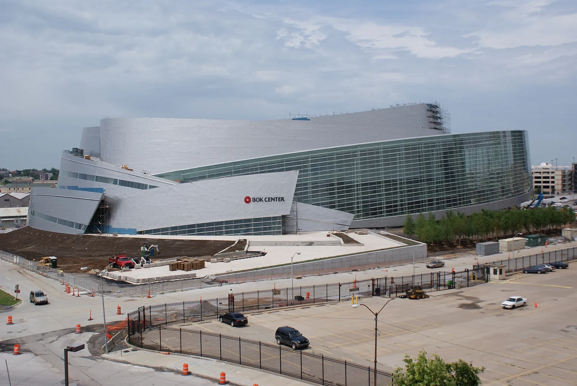
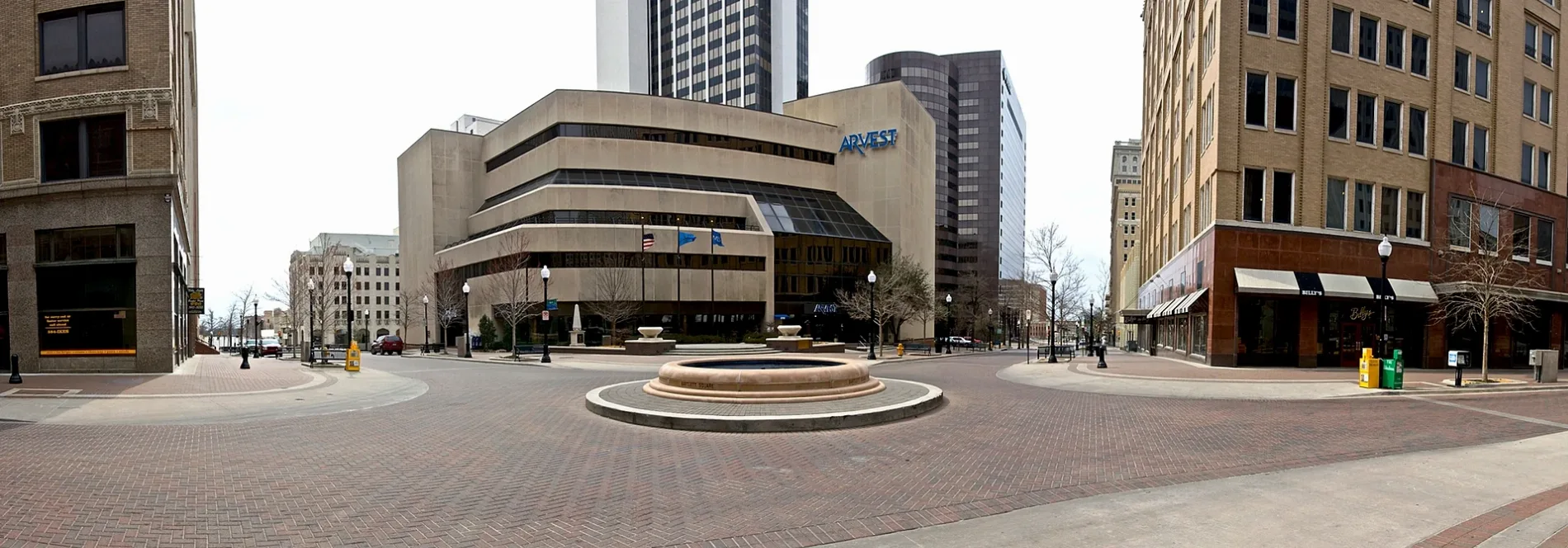
Streets in Tulsa County, Oklahoma
Streets
West Charles Page Boulevard
Charles Page Boulevard & Yaffe Metals, Charles Page Boulevard & 65th Avenue, Charles Page Boulevard & 79th Avenue, Charles Page Boulevard & 77th Avenue, Charles Page Boulevard & 74th Avenue
North Yale Avenue EastPark Meadows Mini Storage, Lake Area Propane
North Quebec AvenueFiesta Mart, Phillips 66, Burger King
West Wekiwa RoadTanglewood Church, Tanglewood School, Calvary Baptist Church, Wekiwa
North Owasso Expressway EastOwasso Motors, The D Taylor
West 31st Street SouthBerryhill School, Believers Fellowship Church
West 61st Street SouthOakridge Baptist Church, Oakridge
West Easton Street49th Street Hill Church
South 45th Avenue WestBethel Baptist Temple
Mannford ExpresswayPhillips 66
Prayer Mountain DrivePrayer Mountain
South 65th Avenue WestNew Home Free Will Baptist Church
West 19th Place SouthEast Shirk
United States Army Staff Sargeant Billie Hall Memorial HighwayKeystone State Park Welcome Sign
South 61st Avenue WestWestern Hills Assembly of God Church
West 51st Street SouthSwick's Auction, Swick's Flea Market
South 47th Avenue WestNew Life Fellowship Westside Church
West 51st StreetGleaner Missionary Church
South Campbell Creek Road WestCedar Grove Church
West 21st Street SouthPapa D's
East 86th Street NorthCasey's General Store
East 146th Street NorthQuikTrip
HillsideHillside Church
West 40th StreetBerryhill Baptist Church
East 76th Street NorthMaverik
West 27th Street SouthSouthwest Christian Chapel
West 181st Street SouthOneStop
South 111th West AvenueOak Hill Church
East 183rd Street South
South 45th East Avenue
West Movillahills Drive
South 187th East Avenue
South Union Avenue West
157th Street South
East 77th Place North
Southwest Boulevard
East 75th Street North
West 119th Street South
East 83rd Street North
Golden Road Street
South 193rd West Avenue
North 59th Place East
North Xanthus Place East
East 176th Street North
East 136th Place North
South 131st East Avenue
South Yukon Avenue West
North 134rd East Avenue
East 138th Street North
West 16th StreetLake
South 252nd West Avenue
South 30th West Avenue
East 182nd Place South
College Avenue
North Lakewood Avenue
North Norfolk Avenue East
North 30th East Avenue
South 266th West Avenue
West 17th Street
East 101st Street North
South 14th Street
West Coyote Trail
East 45th Court
South 230th West Place
North Ute Street
West 11th Street
KATY Trail
West Phoenix Place
South 214th West Avenue
East 153rd Street NorthShops
Abandoned railways
Buildings
Event venues
Industrial buildings
Pawn shops
Self storages
Specialty stores
Supermarkets
Public transit map Tulsa Legend
| Railway | |
| Bus | |
| Streetcar |
Bicycle map Tulsa Legend
| Bike path | |
| Bike lane on roadway | |
| Cycling allowed on bus lane | |
| Bicycle street | |
| Open to cyclists | |
| Open to cyclists, good path | |
| Cycling prohibited | |
| Cobblestone |
| Long-distance bike route | (depending on scale) | |
| Long-distance bike route |
Pedestrian map Tulsa Legend
| Path |
| Long-distance hiking trail | (depending on scale) | |
| Long-distance hiking trail | ||
| Pedestrians prohibited |