
Southeast Howe Lane in Milwaukie, Oregon
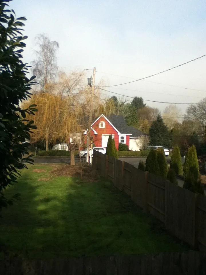
Southeast Howe Lane in Milwaukie is a residential street. No sidewalks. It runs in an east-west direction starting from Southeast 44th Avenue and ends at Southeast 46th Avenue.
- Road Type
- residential street
- Route
- east-west
Bus stops
Places of worship
ATMs
Pharmacies
Convenience stores
Streets nearby
Southeast Melody Lane450 ft
Southeast Rockwood Street0.1 mi
Southeast Roberta Lane0.1 mi
Southeast 43rd Court0.1 mi
Southeast 48th Avenue0.2 mi
Southeast 44th Court0.2 mi
Southeast Arden Street0.2 mi
Southeast Rhodesa Street0.2 mi
Southeast Logus Road0.2 mi
Southeast 43rd Avenue0.2 mi
Southeast Covell Street0.2 mi
Southeast Willow Street0.2 mi
Southeast 49th Avenue0.2 mi
Southeast Fieldcrest Drive0.2 mi
Southeast 46th Avenue0.2 mi
Southeast 45th Court0.2 mi
Southeast Howe Street0.2 mi
Southeast Harvey Street0.2 mi
Southeast White Lake Road0.2 mi
Southeast Fieldcrest0.3 mi
Southeast 41st Court0.3 mi
Southeast King RoadSoutheast King & Hollywood, Southeast King & Stanley, Southeast King & 52nd, Southeast King & Home, Southeast King & 47th, Great American Video & Espresso
0.3 mi
Southeast Drake Street0.3 mi
Southeast 41st Avenue0.3 mi
Southeast 47th Avenue0.3 mi
Southeast Mason Lane0.3 mi
Southeast 44th AvenueHappy Tails Pet Center
0.3 mi
Southeast Mason Hill Drive0.3 mi
Southeast 42nd AvenueSoutheast 42nd & Llewellyn
0.3 mi
Southeast 45th Avenue0.3 mi
Southeast 38th Avenue0.3 mi
Southeast Wake Court0.4 mi
Southeast 40th Avenue0.4 mi
Southeast Harrison StreetStarbucks, Safeway, U.S. Bank, 2700 Block Southeast Harrison, Southeast Harrison & 28th, Southeast Harrison & 24th, Keeper Coffee - Milwaukie, 76, Milwaukie Farmers Market, Space Age, Stehn Family Chapels Milwaukie Tribute Center, Southeast Harrison & 29th, Southeast Harrison & Highway 224, Southeast Harrison & 40th, Southeast Harrison & 37th, Southeast Harrison & 34th, Storyline Community
0.4 mi
Arts centers nearby
Chapel Theatre Annex0.4 mi
Buildings nearby
Edward Jones0.3 mi
Portland Homes and Commercial Properties0.4 mi
Convenience stores nearby
7-Eleven0.4 mi
Doctor's offices nearby
Cedar Chiropractic Physicians0.4 mi
Fast food restaurants nearby
Super Burrito Express0.4 mi
Fitness centers nearby
Snap Fitness0.3 mi
Gas stations nearby
Safeway Fuel Station0.4 mi
Parks nearby
Water Tower Park0.2 mi
Places of worship nearby
Kairos-Milwaukie United Church of Christ0.2 mi
Post offices nearby
Mail House Plus0.3 mi
Residential areas nearby
Swan House0.2 mi
Restaurants nearby
King Curry0.3 mi
Retail areas nearby
King Road Shopping Center0.3 mi
Supermarkets nearby
Safeway0.3 mi
Public transit map Milwaukie Legend
| Railway | |
| Bus | |
| Streetcar |
Bicycle map Milwaukie Legend
| Bike path | |
| Bike lane on roadway | |
| Cycling allowed on bus lane | |
| Bicycle street | |
| Open to cyclists | |
| Open to cyclists, good path | |
| Cycling prohibited | |
| Cobblestone |
| Long-distance bike route | (depending on scale) | |
| Long-distance bike route |
Pedestrian map Milwaukie Legend
| Path |
| Long-distance hiking trail | (depending on scale) | |
| Long-distance hiking trail | ||
| Pedestrians prohibited |