
Southeast Fieldcrest Drive in Milwaukie, Oregon
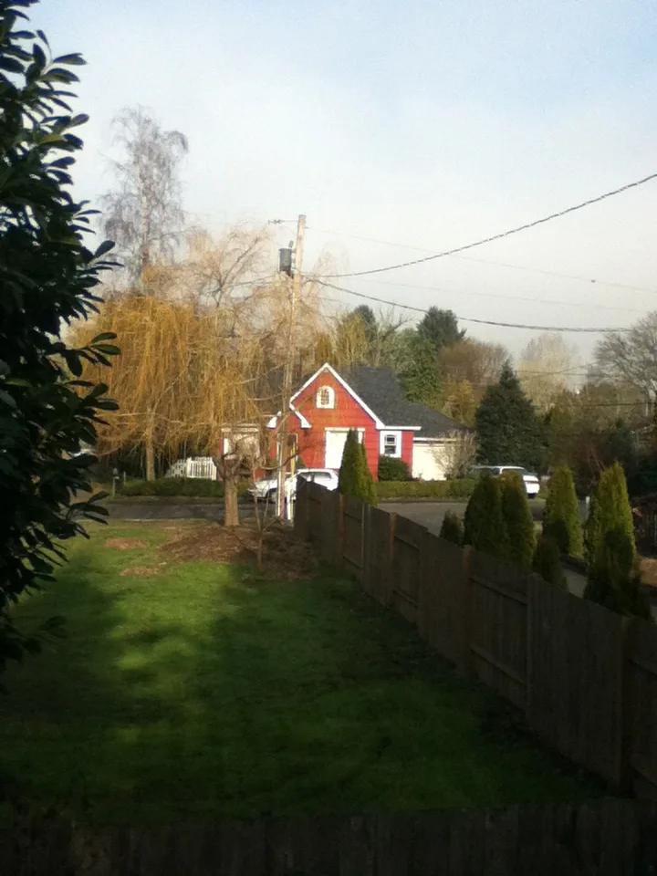
Southeast Fieldcrest Drive in Milwaukie is an asphalted residential street. No sidewalks. It runs in an east-west direction starting from Southeast Fieldcrest.
- Road Type
- residential street
- Route
- east-west
Bus stops
Convenience stores
Pet stores
Cafes
Places of worship
Streets nearby
Southeast Fieldcrest350 ft
Southeast Arden Street400 ft
Southeast 44th Court500 ft
Southeast Rockwood Street500 ft
Southeast 43rd Avenue0.1 mi
Southeast 47th Avenue0.1 mi
Southeast Covell Street0.1 mi
Southeast 46th Avenue0.1 mi
Southeast Mason Lane0.1 mi
Southeast Mason Hill Drive0.1 mi
Southeast 45th Avenue0.1 mi
Southeast 43rd Court0.1 mi
Southeast 44th AvenueHappy Tails Pet Center
0.2 mi
Southeast Roberta Lane0.2 mi
Southeast Howe Lane0.2 mi
Southeast Wake Court0.2 mi
Southeast Regents Circle0.2 mi
Southeast Winworth CourtLewelling
0.2 mi
Southeast Meadowcrest Court0.2 mi
Southeast Regents Drive0.2 mi
Southeast Melody Lane0.3 mi
Southeast Willow Street0.3 mi
Southeast 49th Avenue0.3 mi
Southeast Howe Street0.3 mi
Southeast 48th Avenue0.3 mi
Southeast Rainbow Lane0.3 mi
Southeast 50th Avenue0.3 mi
Southeast Leone Lane0.3 mi
Southeast Rainbow Circle0.3 mi
Southeast Harvey Street0.3 mi
Southeast Brookside Drive0.3 mi
Southeast Logus Road0.3 mi
Southeast Hazel Street0.3 mi
Southeast 38th Avenue0.3 mi
Southeast Johnson Creek BoulevardSoutheast Johnson Creek & 42nd, Southeast Johnson Creek & Brookside, Public Storage, Wichita Feed and Hardware, Jumbo Restaurant and Lounge, D&R Autobody and Paint, Southeast Johnson Creek & Stanley, Southeast Johnson Creek & 58th Drive, 4900 Block Southeast Johnson Creek
0.4 mi
Southeast 39th Avenue0.4 mi
Southeast Rhodesa Street0.4 mi
Southeast Filbert Street0.4 mi
Southeast 42nd AvenueSoutheast 42nd & Llewellyn
0.4 mi
Southeast 37th Avenue0.4 mi
Southeast 40th Avenue0.4 mi
Springwater CorridorSoutheast Johnson Creek & Stanley, Southeast Johnson Creek & Wichita
0.4 mi
Southeast 41st Avenue0.4 mi
Southeast Van Water Street0.5 mi
Southeast Roswell StreetRoswell Market
0.5 mi
Southeast 45th Place0.5 mi
Parks nearby
Water Tower Park0.3 mi
Ardenwald Park0.5 mi
Rental services nearby
Johnson Creek Rentals0.5 mi
Public transit map Milwaukie Legend
| Railway | |
| Bus | |
| Streetcar |
Bicycle map Milwaukie Legend
| Bike path | |
| Bike lane on roadway | |
| Cycling allowed on bus lane | |
| Bicycle street | |
| Open to cyclists | |
| Open to cyclists, good path | |
| Cycling prohibited | |
| Cobblestone |
| Long-distance bike route | (depending on scale) | |
| Long-distance bike route |
Pedestrian map Milwaukie Legend
| Path |
| Long-distance hiking trail | (depending on scale) | |
| Long-distance hiking trail | ||
| Pedestrians prohibited |