
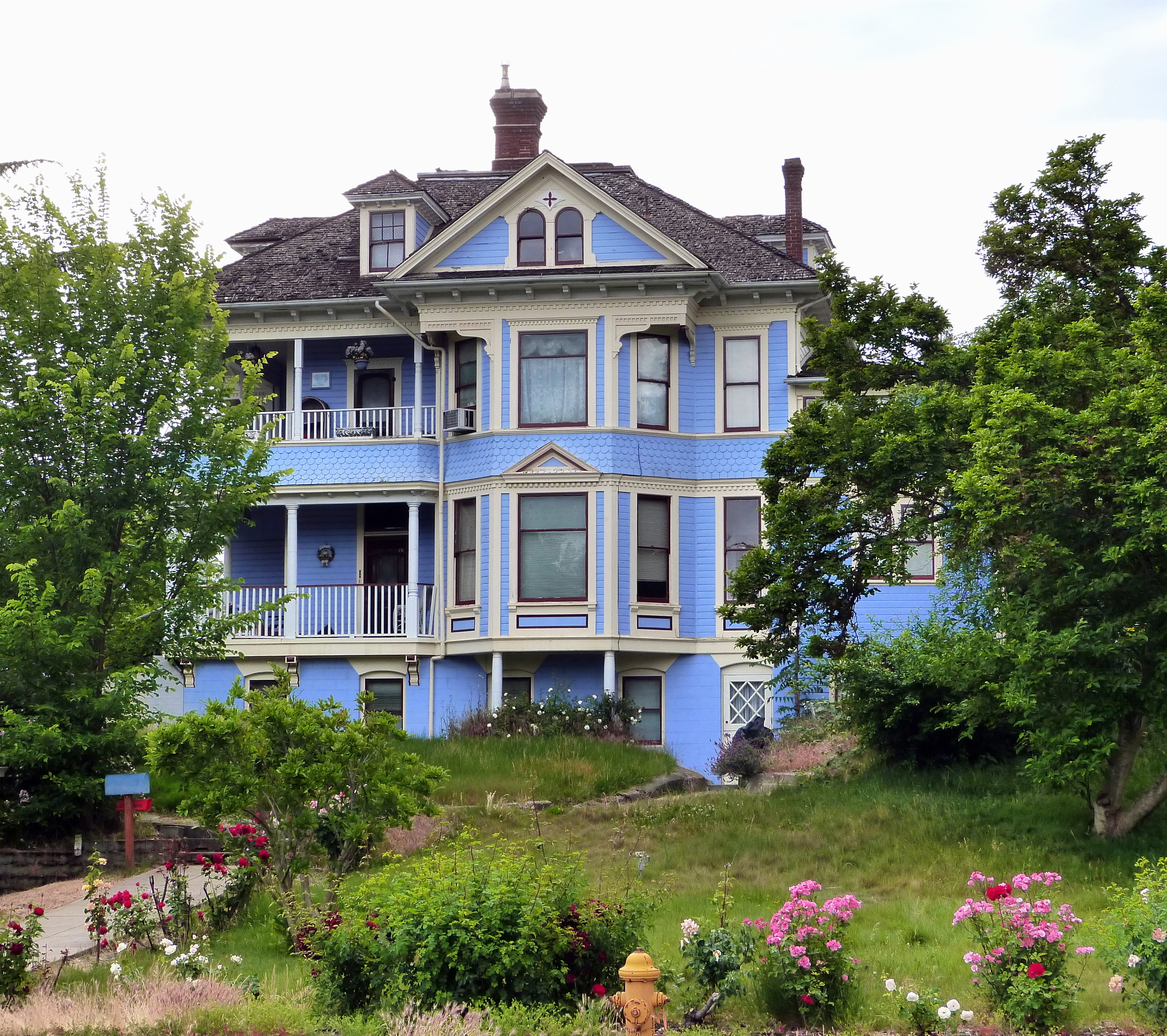
Northeast Mead Street in Grants Pass, Oregon
Northeast Mead Street in Grants Pass is a residential street. It runs in an east-west direction starting from Northeast 7th Street and crosses Northeast 8th Street and ends at Northeast 9th Street.
- Road Type
- residential street
- Route
- east-west
Image
Cafes
Variety stores
Hair salons
Courthouses
Music schools
Restaurants
Dentist offices
Gas stations
Music stores
Motels
Libraries
Places of worship
Banks
Hotels
Police stations
Car dealerships
Fast food restaurants
Streets nearby
Northeast Riddle Drive0.1 mi
Northeast 7th StreetSpendlove Dental of Grants Pass, Jim Sigel, Comfort Inn, Southern Oregon cannabis connection
0.1 mi
Northeast Fetzner Avenue0.1 mi
Northeast Evelyn Avenue0.1 mi
Northeast Manzanita Avenue0.1 mi
Northeast Outlook Avenue0.2 mi
Northeast Memorial Drive0.2 mi
Northeast Savage StreetBestway
0.2 mi
Northeast Josephine Street0.2 mi
Northeast Pioneer Way0.2 mi
Northwest 6th StreetA Taste of India, Carl's Jr., Ric's Convette Bar & Grill, Red lion, Josephine co courthouse, Casablanca, Orchid Grill, Pick your Kolor ABS
0.2 mi
Northeast 9th StreetGrants Pass Seventh-day Adventist Church
0.2 mi
Northeast Foster Way0.2 mi
Northeast School Street0.2 mi
Northwest Conklin Avenue0.2 mi
Northeast Campus Drive0.2 mi
Northeast Wesley Lane0.3 mi
Northeast 6th StreetGrants Pass Public Safety, Bear post office delivery bear, Grants Pass, Loam + black
0.3 mi
Northeast Croxton Avenue0.3 mi
Northeast Madrone Street0.3 mi
Northeast Evans Street0.3 mi
Northeast Steiger StreetEvergreen, Banner Bank
0.3 mi
Northeast Jackson StreetTime Machine Records
0.3 mi
Northwest Washington Boulevard0.3 mi
Northwest Evelyn Avenue0.3 mi
Northwest Manzanita AvenueChevron, Dollar Tree
0.3 mi
Northeast Cedar Lane0.3 mi
Northeast Olive Street0.3 mi
Northeast 10th StreetGrace Bible Church
0.4 mi
Northeast Pepperwood Drive0.4 mi
Northwest Savage Street0.4 mi
Northwest 5th Street0.4 mi
Northeast Wharton Drive0.4 mi
Northeast Flint Drive0.4 mi
Northeast Dean Drive0.4 mi
Northeast Maple Street0.4 mi
Northeast 8th Street0.4 mi
Northeast B StreetNewman United Methodist Church
0.5 mi
Buildings nearby
Caveman Pool0.4 mi
Convenience stores nearby
Pinnacle 3650.2 mi
Gas stations nearby
Chevron0.2 mi
Hotels nearby
Bestway Inn Grants Pass0.2 mi
Motels nearby
Buona Sera Inn0.1 mi
Office buildings nearby
Grants Pass School District 7 Office0.3 mi
Parks nearby
Kesterson Park0.2 mi
Croxton Pioneer Memorial Park0.2 mi
Streams nearby
Skunk Creek0.4 mi
Theaters nearby
Barnstormers Theatre0.1 mi
Performing Arts Center (PAC)0.3 mi
Public transit map Grants Pass Legend
| Railway | |
| Bus | |
| Streetcar |
Bicycle map Grants Pass Legend
| Bike path | |
| Bike lane on roadway | |
| Cycling allowed on bus lane | |
| Bicycle street | |
| Open to cyclists | |
| Open to cyclists, good path | |
| Cycling prohibited | |
| Cobblestone |
| Long-distance bike route | (depending on scale) | |
| Long-distance bike route |
Pedestrian map Grants Pass Legend
| Path |
| Long-distance hiking trail | (depending on scale) | |
| Long-distance hiking trail | ||
| Pedestrians prohibited |