
Elysium Avenue in Eugene, Oregon
Elysium Avenue in Eugene is a residential street. It crosses Lillian Street, Palmer Avenue, Norwood Street, Providence Street, Valhalla Street, Azure Street, Coburg Road, Finch Lane, Best Lane and Rocky Lane and ends in a cul-de-sac.
- Road Type
- residential street
Image
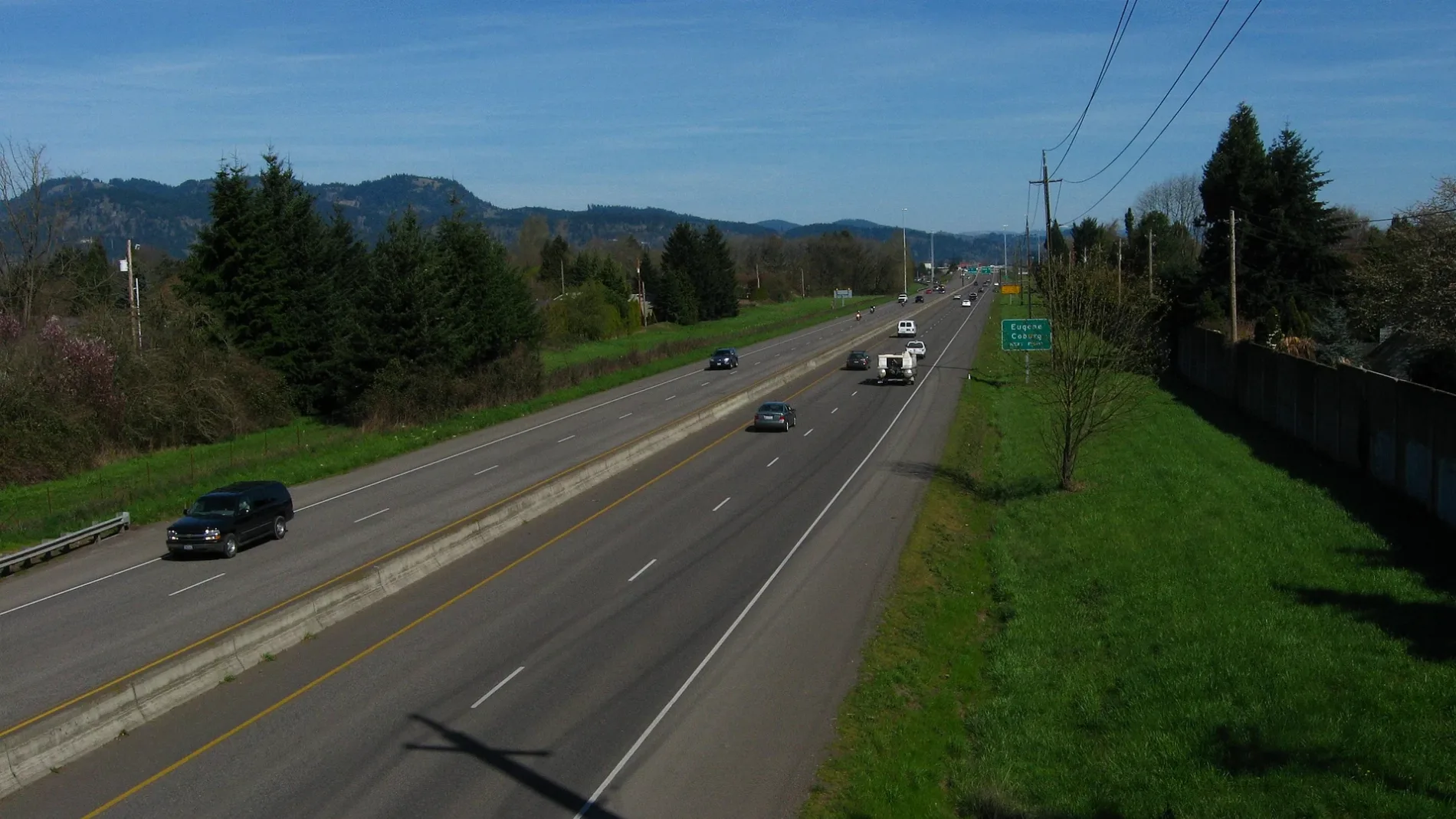
Doctor's offices
Clothing stores
Restaurants
Fast food restaurants
Post offices
Tire dealers
Cell phone stores
Schools
Training centers
Dry cleaners
Housewares stores
Bars
Hearing aid centers
Veterinary clinics
Libraries
Opticians
Massage therapy clinics
Travel agencies
Clinics
Cafes
Banks
Beauty salons
Pharmacies
Streets nearby
Palmer Avenue450 ft
Rocky Lane500 ft
Lillian Street500 ft
Birchwood Avenue0.2 mi
Gilham Road0.2 mi
Willona Drive0.2 mi
Brewer Lane0.2 mi
Willona Park0.2 mi
Lemming Avenue0.2 mi
Shiloh Street0.2 mi
Benson Lane0.2 mi
Providence Street0.3 mi
Sally Way0.3 mi
Gay Street0.3 mi
Jeppesen Acres Road0.3 mi
Medina Street0.3 mi
Minda Street0.3 mi
Cheryl Street0.3 mi
Nirvana Street0.3 mi
Minda Drive0.3 mi
Marlow Lane0.3 mi
Norwood Street0.4 mi
Chuckanut Street0.4 mi
Snelling Drive0.4 mi
Myers Road0.4 mi
Elsena Drive0.4 mi
Paradise Court0.4 mi
Lamar Lane0.4 mi
Harper Court0.4 mi
Carlton Street0.4 mi
Carmel Avenue0.4 mi
Lily Avenue0.4 mi
Azure Street0.5 mi
Erin Way0.5 mi
Valhalla Street0.5 mi
Monterey Lane0.5 mi
Queens Way0.6 mi
Sheldon Village Loop0.6 mi
Willakenzie RoadBag O' Crab, McDonald's
0.6 mi
Buildings nearby
Sheldon Pool & Fitness Center0.4 mi
Community centers nearby
Sheldon Community Center0.5 mi
Department stores nearby
Bi-Mart0.6 mi
Fire stations nearby
Sheldon Station0.5 mi
Parks nearby
Sheldon Sports Park0.6 mi
Places of worship nearby
Our Saviour's Lutheran Church0.6 mi
Recreation grounds nearby
Sheldon High School Tennis Courts0.4 mi
Residential areas nearby
Firwood Manor Apartments0.2 mi
Streams nearby
Dodson Slough0.3 mi
Studios nearby
KRVM0.4 mi
 Public transit map Eugene Legend
| Railway | |
| Bus | |
| Streetcar |
 Bicycle map Eugene Legend
| Bike path | |
| Bike lane on roadway | |
| Cycling allowed on bus lane | |
| Bicycle street | |
| Open to cyclists | |
| Open to cyclists, good path | |
| Cycling prohibited | |
| Cobblestone |
| Long-distance bike route | (depending on scale) | |
| Long-distance bike route |
 Pedestrian map Eugene Legend
| Path |
| Long-distance hiking trail | (depending on scale) | |
| Long-distance hiking trail | ||
| Pedestrians prohibited |