
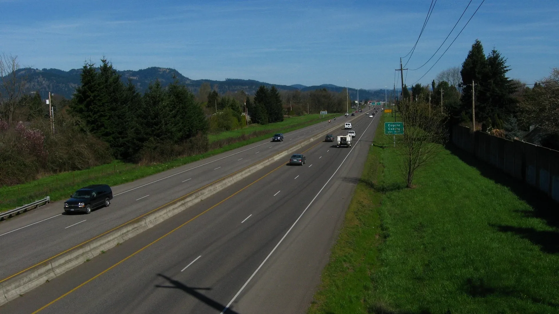
Palmer Avenue in Eugene, Oregon
Palmer Avenue in Eugene is a residential street. It runs in an east-west direction starting from Lillian Street and crosses Elysium Avenue and ends at Norwood Street.
- Road Type
- residential street
- Route
- east-west
Image
Massage therapy clinics
Training centers
Travel agencies
Tire dealers
Pharmacies
Parcel lockers
Veterinary clinics
Opticians
Doctor's offices
Dry cleaners
Clinics
Housewares stores
Restaurants
Bars
Schools
Fast food restaurants
Hearing aid centers
Clothing stores
Cell phone stores
Cafes
Banks
Streets nearby
Willona Drive0.1 mi
Rocky Lane0.1 mi
Lillian Street0.1 mi
Willona Park0.2 mi
Benson Lane0.2 mi
Birchwood Avenue0.2 mi
Gilham Road0.2 mi
Providence Street0.2 mi
Norwood Street0.2 mi
Gay Street0.2 mi
Cheryl Street0.3 mi
Brewer Lane0.3 mi
Chuckanut Street0.3 mi
Elysium Avenue0.3 mi
Medina Street0.3 mi
Nirvana Street0.3 mi
Snelling Drive0.3 mi
Jeppesen Acres Road0.3 mi
Balfour Street0.3 mi
Elanco Avenue0.3 mi
Paradise Court0.4 mi
Terresa Avenue0.4 mi
Lily Avenue0.4 mi
Coach Way0.4 mi
Montreal Avenue0.4 mi
Azure Street0.4 mi
Holly Avenue0.4 mi
Musket Street0.4 mi
Flintlock Street0.4 mi
Powderhorn Street0.5 mi
Erin Way0.5 mi
Randy Papé BeltlineAssociated Business Systems
0.5 mi
Chad Drive0.5 mi
Coburg RoadAmeriGas, Killer Burger, Super Supplements, Belizzi’s Pizza Joint, Burrito Amigos, OnPoint, MOD Pizza, Natural Grocers, See's Candies, Crumbl Cookies, The Shutterbug, Eugene Eyewear, Eyemart Express, Side Bar, Dickey's Barbecue Pit, Walgreens, BestMed Urgent Care, Zero Degrees, Washington Federal, Willakenzie Animal Clinic, Doctor House LLC, Northwest Massage Services, 76, Brian A. Jewett M.D., Palace Coffee Roasters Cafe, Mattress Firm, NoDak Green Prairie, Brighter Smiles, Gentle Dental, Verizon, Newman's Grotto, Sport Clips, Papa's Pizza Parlor
0.5 mi
Dayna Lane0.6 mi
Crescent AvenueLegacy Laboratory Services, Crescent Family Medicine & Pediatrics, South Pine, Conservative Pain Solutions, Eugene Weekly
0.6 mi
Wingate Street0.6 mi
Banks nearby
OCCU | Oregon Community Credit Union0.6 mi
Fast food restaurants nearby
Taco Bell0.6 mi
Fitness centers nearby
Eugene Swim & Tennis Club0.6 mi
Gas stations nearby
Costco Gasoline0.5 mi
Places of worship nearby
Harvest Community Church0.4 mi
Norkenzie Christian Church0.4 mi
Lane County Youth for Christ0.5 mi
Recreation grounds nearby
Cal Young Sports Park0.3 mi
Eugene Swim and Tennis Club Courts0.5 mi
Residential areas nearby
Firwood Manor Apartments0.3 mi
Sports fields nearby
Crescent Skate Park0.4 mi
Streams nearby
Dodson Slough0.4 mi
 Public transit map Eugene Legend
| Railway | |
| Bus | |
| Streetcar |
 Bicycle map Eugene Legend
| Bike path | |
| Bike lane on roadway | |
| Cycling allowed on bus lane | |
| Bicycle street | |
| Open to cyclists | |
| Open to cyclists, good path | |
| Cycling prohibited | |
| Cobblestone |
| Long-distance bike route | (depending on scale) | |
| Long-distance bike route |
 Pedestrian map Eugene Legend
| Path |
| Long-distance hiking trail | (depending on scale) | |
| Long-distance hiking trail | ||
| Pedestrians prohibited |