
9th Avenue Southwest;Albany-Corvallis Highway in Albany, Oregon
9th Avenue Southwest;Albany-Corvallis Highway in Albany is a two-lane expressway (Road number US 20). It runs as a one-way street in a west-east direction starting from 9th Avenue Southwest and crosses Ellsworth Street Southwest and Ellsworth Street Southwest;Albany-Corvallis Highway and ends at Albany-Corvallis Highway. 9th Avenue Southwest;Albany-Corvallis Highway is also known as Albany-Corvallis Highway #31 Roadway #1. This street is part of the highways 20 and Albany-Corvalis Highway.
- Road Type
- expressway
- Alternate Name
- Albany-Corvallis Highway #31 Roadway #1
- Lanes
- 2
- Route
- east-west
Image
Platforms
Places of worship
Police stations
Social facilities
Cafes
Restaurants
Town halls
Massage therapy clinics
Pawn shops
Ice cream shops
Bus stops
Stations
Fire stations
Art galleries
Schools
Candy stores
Auto repair shops
Streets nearby
Ellsworth Street Southwest;Albany-Corvallis HighwayJordan Jewelers, Natural Sprinkles Company, Embrace Kindness Bodywork
150 ft
Ellsworth Street Southwest150 ft
8th Avenue Southwest450 ft
8th Avenue Southeast450 ft
7th Avenue Southeast0.1 mi
Broadalbin Street SouthwestAlbany Learning Center Community Service, Beloved Cheesecakes
0.1 mi
Pacific Boulevard SouthwestAlbany Amtrak, NW Drivers Ed, Jiffy Lube, Favorite Mistake
0.2 mi
Lyon Street South;Albany-Corvallis HighwayStation 11, Hub City Church
0.2 mi
7th Avenue Southwest0.2 mi
Ferry Street SouthwestFerry Street Auto Repair
0.2 mi
Baker Street Southeast0.2 mi
Albany-Corvallis HighwayAlbany, FlixBus Albany, Albany Amtrak
0.2 mi
9th Avenue Southwest0.2 mi
Montgomery Street Southeast0.2 mi
11th Avenue Southwest0.2 mi
Washington Street Southwest1st & Washington
0.3 mi
12th Avenue Southwest0.3 mi
13th Avenue Southeast0.3 mi
11th Avenue Southeast0.3 mi
10th Avenue Southwest0.3 mi
9th Avenue SoutheastYummy House
0.3 mi
Industrial Way Southwest0.3 mi
Jackson Street SoutheastLinn County Sheriff's Office
0.3 mi
Howard Drive Southeast0.3 mi
14th Avenue Southwest0.3 mi
14th Avenue SoutheastAlbany Public Library, Frontier Dermatology, Pinnacle Dental Associates, Osaka Sushi & Ramen, Great Clips, WingStreet, Pizza Hut, Douglas M. Johnson D.M.D. Family Dentistry, One Peak Medical, America's Best
0.4 mi
15th Avenue Southeast0.4 mi
Queen Avenue SouthwestBetter Beef Company, Reid Veterinary Hospital, Faith Lutheran Church, Dari Mart
0.5 mi
Railway nearby
Union Pacific Railyard0.3 mi
Shops nearby
Albany Carpet One Floor & Home0.4 mi
Apartment buildings nearby
McClinton Painting0.3 mi
Auto repair shops nearby
Pacific Auto Repair0.3 mi
AA Towing0.5 mi
Buildings nearby
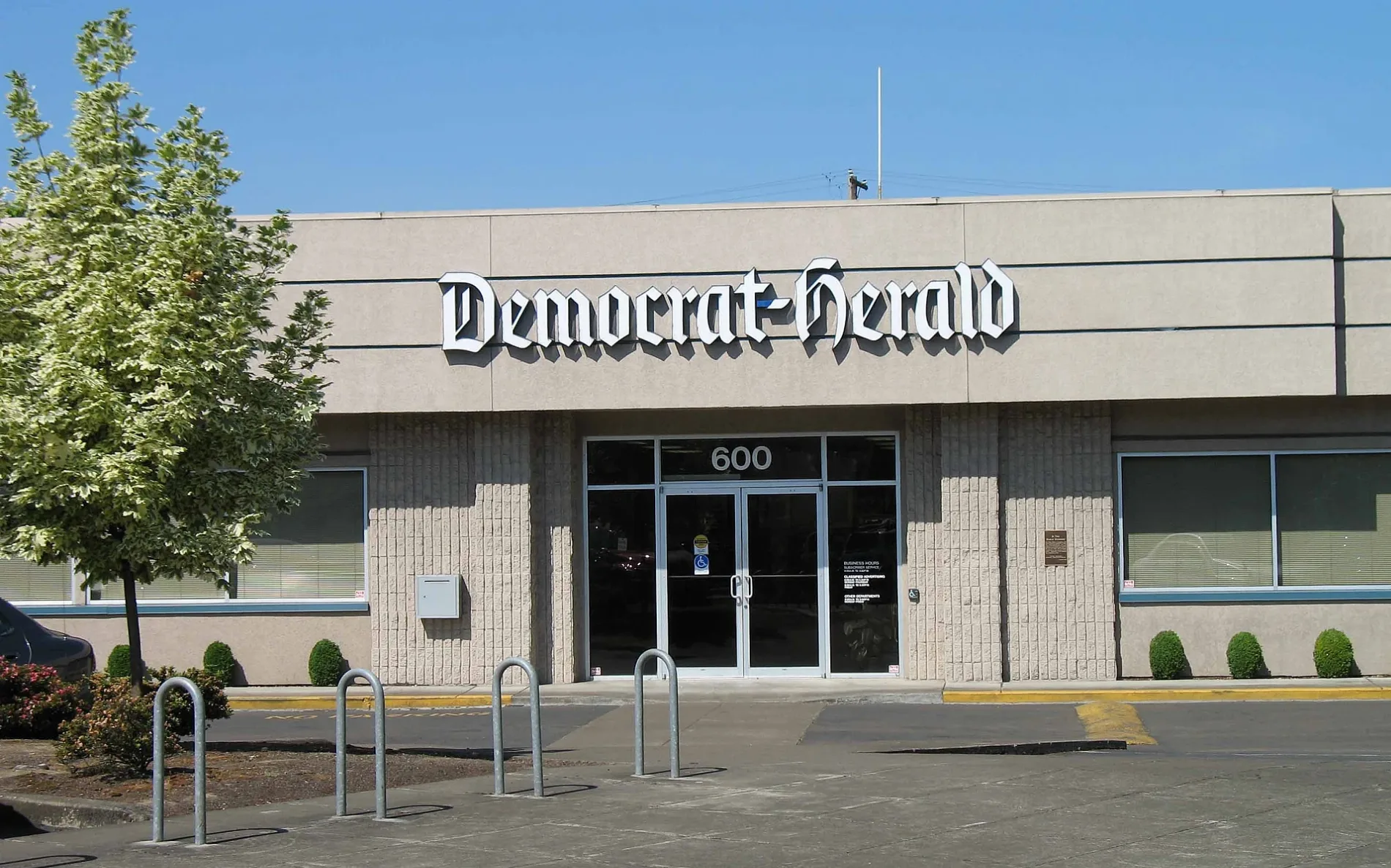
Albany Democrat-Herald0.1 mi
Reid House0.2 mi
Parker House0.2 mi
Linn County Parole & Probation0.4 mi
Radish Fabrication0.4 mi
Cafes nearby
Sidekicks200 ft
Canals nearby
Santiam-Albany Canal0.2 mi
Car washes nearby
Four Seasons Car Wash0.4 mi
Churches nearby
Saint Mary's Catholic Church450 ft
Fast food restaurants nearby
Hasty Freez0.1 mi
Parks nearby
Swanson Park0.2 mi
Places of worship nearby
The Peoples Church0.3 mi
Railways nearby
UP Brooklyn Subdivision0.3 mi
Union Pacific Railroad0.4 mi
Restaurants nearby
The Depot Cafe250 ft
Train stations nearby
Albany550 ft
Public transit map Albany Legend
| Railway | |
| Bus | |
| Streetcar |
Bicycle map Albany Legend
| Bike path | |
| Bike lane on roadway | |
| Cycling allowed on bus lane | |
| Bicycle street | |
| Open to cyclists | |
| Open to cyclists, good path | |
| Cycling prohibited | |
| Cobblestone |
| Long-distance bike route | (depending on scale) | |
| Long-distance bike route |
Pedestrian map Albany Legend
| Path |
| Long-distance hiking trail | (depending on scale) | |
| Long-distance hiking trail | ||
| Pedestrians prohibited |