
Ferry Street Southwest in Albany, Oregon
Ferry Street Southwest in Albany is a residential street. It runs in a north-south direction starting from Ferry Street Northwest and crosses 1st Avenue West, 2nd Avenue Southwest, 3rd Avenue Southwest, 4th Avenue Southwest, 5th Avenue Southwest, 6th Avenue Southwest, 7th Avenue Southwest, 8th Avenue Southwest, 9th Avenue Southwest, 11th Avenue Southwest and 12th Avenue Southwest. It ends in a cul-de-sac. Nearby there is an auto repair shop.
- Road Type
- residential street
- Speed Limit
- 25 mph
- Route
- north-south
Image
Auto repair shops
Streets nearby
Washington Street Southwest1st & Washington
450 ft
Ellsworth Street Southwest0.2 mi
Calapooia Street Southwest0.2 mi
14th Avenue Southwest0.2 mi
9th Avenue Southwest;Albany-Corvallis Highway0.2 mi
Broadalbin Street SouthwestAlbany Learning Center Community Service, Beloved Cheesecakes
0.2 mi
8th Avenue Southwest0.2 mi
Maple Street Southwest0.2 mi
Vine Street Southwest0.3 mi
Walnut Street Southwest0.3 mi
Ellsworth Street Southwest;Albany-Corvallis HighwayJordan Jewelers, Natural Sprinkles Company, Embrace Kindness Bodywork
0.3 mi
Queen Avenue SouthwestBetter Beef Company, Reid Veterinary Hospital, Faith Lutheran Church, Dari Mart
0.4 mi
9th Avenue Southwest0.4 mi
10th Avenue Southwest0.4 mi
12th Avenue Southwest0.4 mi
11th Avenue Southwest0.4 mi
Elm Street Southwest0.4 mi
Willetta Street SouthwestWillamette Valley Cancer Institute and Research Center - Albany
0.4 mi
5th Avenue SouthwestFirst Christian Church
0.4 mi
16th Avenue Southwest0.4 mi
15th Avenue Southwest0.4 mi
7th Avenue Southwest0.4 mi
4th Avenue Southwest0.4 mi
6th Avenue Southwest0.5 mi
18th Avenue Southwest0.5 mi
Penn Street Southwest0.5 mi
Shops nearby
Albany Carpet One Floor & Home0.2 mi
Apartment buildings nearby
McClinton Painting0.2 mi
Buildings nearby
Parker House0.2 mi
Radish Fabrication0.3 mi
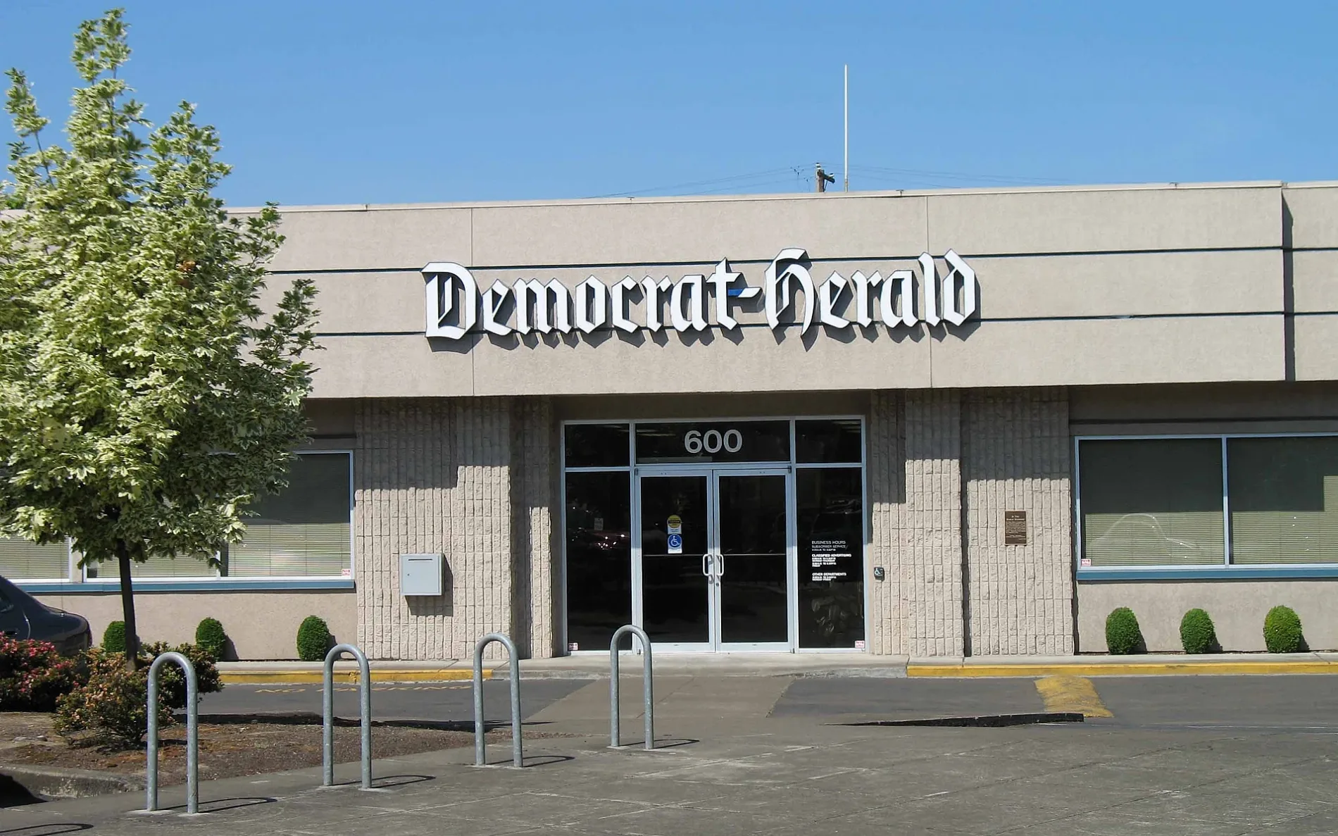
Albany Democrat-Herald0.3 mi
Cafes nearby
Sidekicks0.2 mi
Canals nearby
Santiam-Albany Canal0.2 mi
Car washes nearby
Four Seasons Car Wash0.2 mi
Churches nearby
Saint Mary's Catholic Church0.1 mi
Convenience stores nearby
Town Pump0.3 mi
Courthouses nearby
Linn County Courthouse0.4 mi
Dentist's offices nearby
Elm Street Family Dental0.4 mi
Nicholson Dental0.4 mi
Fast food restaurants nearby
McDonald's0.5 mi
Gas stations nearby
Sinclair0.3 mi
Industrial buildings nearby
OralBiotech Fulfillment Center0.4 mi
Motorcycle shops nearby
Mr. Ed's Moto0.4 mi
Office buildings nearby
Greater Albany Public School District0.3 mi
Parks nearby
Henderson Park0.2 mi
Railways nearby
UP Brooklyn Subdivision0.2 mi
Union Pacific Railroad0.3 mi
Restaurants nearby
The Depot Cafe0.2 mi
Rigobertos0.4 mi
Public transit map Albany Legend
| Railway | |
| Bus | |
| Streetcar |
Bicycle map Albany Legend
| Bike path | |
| Bike lane on roadway | |
| Cycling allowed on bus lane | |
| Bicycle street | |
| Open to cyclists | |
| Open to cyclists, good path | |
| Cycling prohibited | |
| Cobblestone |
| Long-distance bike route | (depending on scale) | |
| Long-distance bike route |
Pedestrian map Albany Legend
| Path |
| Long-distance hiking trail | (depending on scale) | |
| Long-distance hiking trail | ||
| Pedestrians prohibited |