
North Shore Drive Southeast in Albany, Oregon
North Shore Drive Southeast in Albany is a residential street and runs in an east-west direction starting from Bain Street Southeast and ends at Airport Road Southeast.
- Road Type
- residential street
- Route
- east-west
Image
Hair salons
Cafes
Hotels
Banks
Post offices
Fast food restaurants
Gas stations
Car dealerships
Dry cleaners
Liquor stores
Schools
Pharmacies
Tire dealers
Restaurants
Motels
Artworks
Ice cream shops
Streets nearby
Oakwood Avenue SoutheastCostco Pharmacy, Costco Tire Center
0.1 mi
Franklin Avenue Southeast0.2 mi
Bain Street SoutheastPizzazz, New Image, Rancho Hacienda Real
0.2 mi
South Shore Drive Southeast0.2 mi
Cox Street Southeast0.2 mi
Locust Avenue Southeast0.3 mi
Killdeer Avenue Southeast0.3 mi
Pacific Boulevard SoutheastWaverly Cleaners, Subway, Albany Liquor, Carniceria Los Compadres, Roger's Restaurant, U.S. Tactical Supply
0.3 mi
Price Road SoutheastBest Western Prairie Inn
0.3 mi
Albany Avenue0.3 mi
Albany-Junction City Highway0.4 mi
Aviation Way SoutheastA-4E Skyhawk
0.4 mi
Airport Road SoutheastHertz Car Sales
0.4 mi
Salem Avenue SoutheastPepper Tree Sausage, King Kone, Stop N Save Market
0.4 mi
Highway #001MR - Santiam Highway Connection #10.4 mi
Old Salem Road NortheastOregon Barbeque Company
0.5 mi
North Albany Interchange Connection0.5 mi
North Albany Connection0.5 mi
Highway #001MW - North Albany Connection #10.6 mi
Knox Butte Road EastDraperville, Dragon's Brew Coffee
0.6 mi
Highway #001MY - North Albany Connection #30.6 mi
Expo Parkway Northeast0.6 mi
Curtis Street Northeast0.6 mi
Opal Court Southeast0.6 mi
Cafes nearby
The Human Bean0.3 mi
Cemeteries nearby
Houston Cemetery0.4 mi
Albany Hebrew Cemetery0.4 mi
Waverly Memorial Cemetery0.4 mi
Convenience stores nearby
Chevron0.3 mi
Department stores nearby
Kohl's0.2 mi
Fast food restaurants nearby
Burger King0.3 mi
Carl's Jr.0.3 mi
Panera Bread0.3 mi
Taco Bell0.3 mi
McDonald's0.4 mi
Gas stations nearby
Costco Gasoline0.3 mi
Hotels nearby
Quality Inn & Suites0.4 mi
Comfort Suites0.6 mi
Holiday Inn Express & Suites0.6 mi
Parks nearby
Waverly Lake Park0.4 mi
Timber Linn Memorial Park0.4 mi
Restaurants nearby
Cascade Grill0.6 mi
Sports fields nearby
Ball Field0.5 mi
Streams nearby
Cox Creek0.4 mi
Supermarkets nearby
WinCo Foods0.2 mi
Waters nearby
Waverly Lake0.4 mi
Timber-Linn Lake0.5 mi
Wholesale stores nearby
Costco0.1 mi
Other nearby
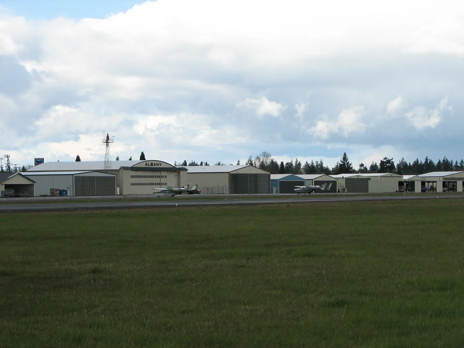
Albany Municipal Airport0.6 mi
Public transit map Albany Legend
| Railway | |
| Bus | |
| Streetcar |
Bicycle map Albany Legend
| Bike path | |
| Bike lane on roadway | |
| Cycling allowed on bus lane | |
| Bicycle street | |
| Open to cyclists | |
| Open to cyclists, good path | |
| Cycling prohibited | |
| Cobblestone |
| Long-distance bike route | (depending on scale) | |
| Long-distance bike route |
Pedestrian map Albany Legend
| Path |
| Long-distance hiking trail | (depending on scale) | |
| Long-distance hiking trail | ||
| Pedestrians prohibited |