
49th Street in Central Lawrenceville, Pittsburgh, Pennsylvania
49th Street in Central Lawrenceville in Pittsburgh is a two-lane, asphalted residential street. The street has sidewalks. It runs in a Southeast direction starting from 40th Street extension and crosses Harrison Street, Plum Way, Hatfield Street and Blackberry Way and ends at Butler Street. Nearby you can find a pub and a wine shop. The nearest bus stop is Butler St at 48th St (about 200 m away).
- Road Type
- residential street
- Lanes
- 2
- Route
- southeast-northwest
Image
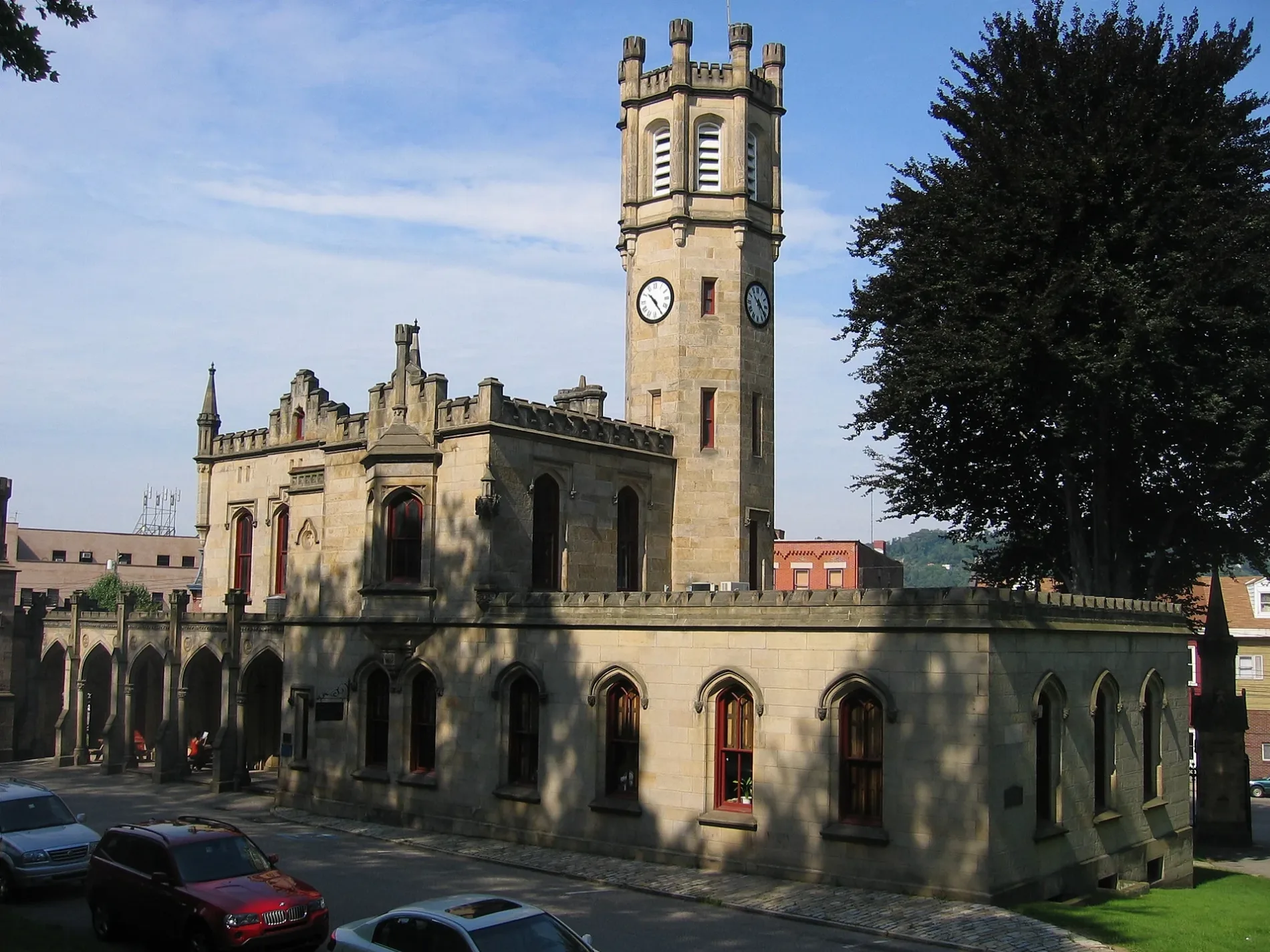
Streets nearby
Blackberry Way200 ft
40th Street extension300 ft
Hatfield Street450 ft
Plum Way500 ft
50th Street500 ft
Modoc Street0.1 mi
Oasis Way0.1 mi
48th StreetBeer on Butler, Butler St at 48th St
0.1 mi
Ruby StreetGoodwill
0.2 mi
51st StreetThriftique, Spirit
0.2 mi
Umpire WayBarb's Country Kitchen
0.2 mi
47th Street0.2 mi
Berlin WaySunnyside Dispensary, Sunnyside Cannabis, Hop Farm Brewing Company
0.2 mi
Strasburg Street0.2 mi
Home Street0.2 mi
Plummer Street0.2 mi
Holly Way0.3 mi
Modoc Way0.3 mi
Stanton AvenueStanton Avenue at Carnegie Street, Stanton Avenue opp Holmes Street, Stanton Avenue at Holmes Street, Stanton Avenue at Duncan Street, Stanton Avenue at 52nd Street, Stanton Avenue opp 52nd Street, Stanton Avenue opp Keystone Street, Stanton Avenue opp Steps, Stanton Avenue at Steps, Stanton Avenue at McCandless Avenue
0.3 mi
Lycurgus Way0.3 mi
52nd StreetPOGOH - 52nd Street & Butler Street, fillir, Snacks & Dice
0.3 mi
Antwerp Way0.3 mi
Duncan Street0.3 mi
Harrison Street0.3 mi
Butler StreetZen Asian Diner, Moka, The Butterwood Bake Consortium, Oishii Donburi, Conley's, Blue Moon, Driveline Service of Pittsburgh, inkadinkadoo tattoo studio, Mediterra Cafe Lawrenceville, greenSinner, Von Walter +funkBALLOON, City Grows, Luxe Redux Bridal, Pizza Lupo, Remedy, Kelly Custom Furniture and Cabinetry, Alma Mercantile, Butler Street at 51st Street (Stanton Avenue), Butler Street at McCandless Avenue, Butler Street at 54th Street, Butler Street at 55th Street, Fat Butcher, Rosie's Records, Butler Street at 56th Street, Butler Street at 57th Street
0.4 mi
Dresden Way0.4 mi
McCandless AvenueStanton Avenue at McCandless Avenue, The Big Easy Animal Hospital
0.4 mi
Keystone StreetStanton Avenue at Keystone Street
0.4 mi
Kent Way0.4 mi
Holmes Street0.4 mi
Lotus Way0.4 mi
Larue Way0.4 mi
Carnegie StreetUpper Lawrenceville
0.4 mi
Natrona WayPark Assembly of God Church
0.4 mi
Bissell Way0.5 mi
Celadine Street0.5 mi
Wickliff Street0.5 mi
Poe Way0.5 mi
54th StreetCaffè D'amore
0.5 mi
Auto repair shops nearby
Meinert Truck & Auto0.3 mi
Car dealerships nearby
Tex's Auto Sales0.4 mi
Hardware stores nearby
Busy Beaver0.1 mi
Industrial areas nearby
McConway & Torley - Pittsburgh Plant0.2 mi
Office buildings nearby
Tech Forge0.2 mi
Teamster Temple0.2 mi
Parks nearby
Lawrenceville Tree Park0.2 mi
Places of worship nearby
First Primitive Methodist Church0.3 mi
Railways nearby
Allegheny Subdivision0.1 mi
Restaurants nearby
Stinky's Bar & Grill100 ft
Public transit map Central Lawrenceville Legend
| Railway | |
| Bus | |
| Streetcar |
Bicycle map Central Lawrenceville Legend
| Bike path | |
| Bike lane on roadway | |
| Cycling allowed on bus lane | |
| Bicycle street | |
| Open to cyclists | |
| Open to cyclists, good path | |
| Cycling prohibited | |
| Cobblestone |
| Long-distance bike route | (depending on scale) | |
| Long-distance bike route |
Pedestrian map Central Lawrenceville Legend
| Path |
| Long-distance hiking trail | (depending on scale) | |
| Long-distance hiking trail | ||
| Pedestrians prohibited |